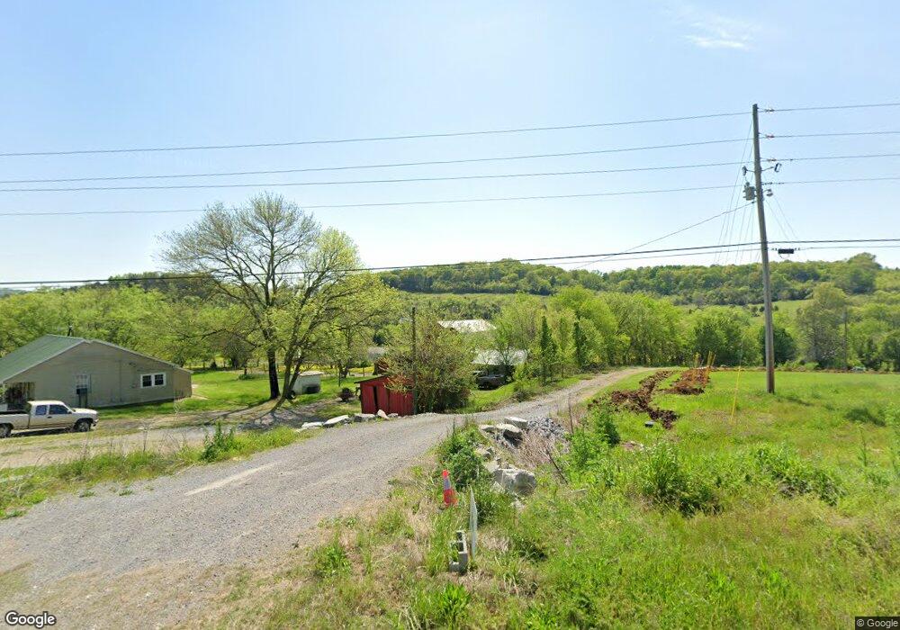
911 Auburntown Rd Woodbury, TN 37190
Cannon County NeighborhoodEstimated Value: $162,000 - $372,000
--
Bed
1
Bath
1,160
Sq Ft
$205/Sq Ft
Est. Value
About This Home
This home is located at 911 Auburntown Rd, Woodbury, TN 37190 and is currently estimated at $237,316, approximately $204 per square foot. 911 Auburntown Rd is a home located in Cannon County with nearby schools including Cannon County High School.
Ownership History
Date
Name
Owned For
Owner Type
Purchase Details
Closed on
Oct 17, 2024
Sold by
Gilley Larimer Lois Witty and Russell Gilley Kenny
Bought by
Pruitt James R and Pruitt Kimberly A
Current Estimated Value
Home Financials for this Owner
Home Financials are based on the most recent Mortgage that was taken out on this home.
Original Mortgage
$121,000
Outstanding Balance
$119,609
Interest Rate
6.35%
Mortgage Type
New Conventional
Estimated Equity
$117,707
Purchase Details
Closed on
Jul 21, 2005
Sold by
Not Provided
Bought by
Larimer J H
Purchase Details
Closed on
Oct 19, 2000
Bought by
Morris Thomas G
Purchase Details
Closed on
Oct 11, 1990
Bought by
Vinson Robert and Vinson Marjorie
Purchase Details
Closed on
Sep 3, 1960
Bought by
Paschall Reedy and Paschall Vernie M
Create a Home Valuation Report for This Property
The Home Valuation Report is an in-depth analysis detailing your home's value as well as a comparison with similar homes in the area
Home Values in the Area
Average Home Value in this Area
Purchase History
| Date | Buyer | Sale Price | Title Company |
|---|---|---|---|
| Pruitt James R | $151,250 | Tri Star Title | |
| Larimer J H | $67,500 | -- | |
| Morris Thomas G | $93,100 | -- | |
| Vinson Robert | -- | -- | |
| -- | $38,000 | -- | |
| Paschall Reedy | -- | -- |
Source: Public Records
Mortgage History
| Date | Status | Borrower | Loan Amount |
|---|---|---|---|
| Open | Pruitt James R | $121,000 |
Source: Public Records
Tax History Compared to Growth
Tax History
| Year | Tax Paid | Tax Assessment Tax Assessment Total Assessment is a certain percentage of the fair market value that is determined by local assessors to be the total taxable value of land and additions on the property. | Land | Improvement |
|---|---|---|---|---|
| 2025 | $691 | $43,300 | $0 | $0 |
| 2024 | $691 | $43,300 | $22,400 | $20,900 |
| 2023 | $660 | $43,300 | $22,400 | $20,900 |
| 2022 | $485 | $19,700 | $7,000 | $12,700 |
| 2021 | $485 | $19,700 | $7,000 | $12,700 |
| 2020 | $485 | $19,700 | $7,000 | $12,700 |
| 2019 | $485 | $19,700 | $7,000 | $12,700 |
| 2018 | $470 | $19,700 | $7,000 | $12,700 |
| 2017 | $538 | $18,600 | $8,575 | $10,025 |
| 2016 | $512 | $18,600 | $8,575 | $10,025 |
| 2015 | $471 | $18,600 | $8,575 | $10,025 |
| 2014 | $471 | $18,600 | $8,575 | $10,025 |
Source: Public Records
Map
Nearby Homes
- 180 Nichols Dr
- 0 Auburntown Rd Unit RTC2823164
- 0 Mcbroom St
- 604 W Adams St
- 200 Nichols Dr
- 406 Terrace Ln
- 313 Terrace Ln
- 310 Deerview Ln
- 204 Terrace Ln
- 418 S Mccrary St
- 301 Old Manchester Rd
- 215 Hayes St
- 94 Hickory Ridge Ln
- 921 S Mccrary St
- 329 Hayes St
- 704 Old Manchester Rd
- 0 Old McMinnville Rd
- 692 Tanglewood Dr
- 43411/2 Gassaway Rd
- 202 Houston Hills Dr
- 761 Auburntown Rd
- 1 Auburntown Rd
- 2 Auburntown Rd
- 717 Auburntown Rd
- 814 Auburntown Rd
- 667 Auburntown Rd
- 640 Auburntown Rd
- 631 Auburntown Rd
- 1129 Auburntown Rd
- 504 Auburntown Rd
- 1301 Auburntown Rd
- 448 Auburntown Rd
- 401 Auburntown Rd
- 42 Auburn Hills Dr
- 56 Auburn Hills Dr
- 20 Auburn Hills Dr
- 78 Auburn Hills Dr
- 25 Auburn Hills Dr
- 96 Auburn Hills Dr
- 101 Hillview Dr
