911 Connor Ct Reading, PA 19608
Estimated Value: $431,881 - $484,000
4
Beds
3
Baths
2,608
Sq Ft
$177/Sq Ft
Est. Value
About This Home
This home is located at 911 Connor Ct, Reading, PA 19608 and is currently estimated at $460,470, approximately $176 per square foot. 911 Connor Ct is a home located in Berks County with nearby schools including Shiloh Hills Elementary School, Wilson Southern Middle School, and Wilson High School.
Ownership History
Date
Name
Owned For
Owner Type
Purchase Details
Closed on
Nov 27, 2018
Sold by
Hill Dennis P and Hill Shelly L
Bought by
Hill Shelly L
Current Estimated Value
Purchase Details
Closed on
Jun 21, 2005
Sold by
Forino Co Lp and Smith John G
Bought by
Hill Dennis P and Hill Shelly L
Home Financials for this Owner
Home Financials are based on the most recent Mortgage that was taken out on this home.
Original Mortgage
$165,000
Outstanding Balance
$85,640
Interest Rate
5.67%
Mortgage Type
Fannie Mae Freddie Mac
Estimated Equity
$374,830
Create a Home Valuation Report for This Property
The Home Valuation Report is an in-depth analysis detailing your home's value as well as a comparison with similar homes in the area
Home Values in the Area
Average Home Value in this Area
Purchase History
| Date | Buyer | Sale Price | Title Company |
|---|---|---|---|
| Hill Shelly L | -- | None Available | |
| Hill Dennis P | $223,409 | -- |
Source: Public Records
Mortgage History
| Date | Status | Borrower | Loan Amount |
|---|---|---|---|
| Open | Hill Dennis P | $165,000 |
Source: Public Records
Tax History
| Year | Tax Paid | Tax Assessment Tax Assessment Total Assessment is a certain percentage of the fair market value that is determined by local assessors to be the total taxable value of land and additions on the property. | Land | Improvement |
|---|---|---|---|---|
| 2025 | $2,896 | $160,800 | $26,600 | $134,200 |
| 2024 | $6,880 | $160,800 | $26,600 | $134,200 |
| 2023 | $6,555 | $160,800 | $26,600 | $134,200 |
| 2022 | $6,395 | $160,800 | $26,600 | $134,200 |
| 2021 | $6,169 | $160,800 | $26,600 | $134,200 |
| 2020 | $6,169 | $160,800 | $26,600 | $134,200 |
| 2019 | $5,994 | $160,800 | $26,600 | $134,200 |
| 2018 | $5,943 | $160,800 | $26,600 | $134,200 |
| 2017 | $5,842 | $160,800 | $26,600 | $134,200 |
| 2016 | $1,751 | $160,800 | $26,600 | $134,200 |
| 2015 | $1,751 | $160,800 | $26,600 | $134,200 |
| 2014 | $1,751 | $160,800 | $26,600 | $134,200 |
Source: Public Records
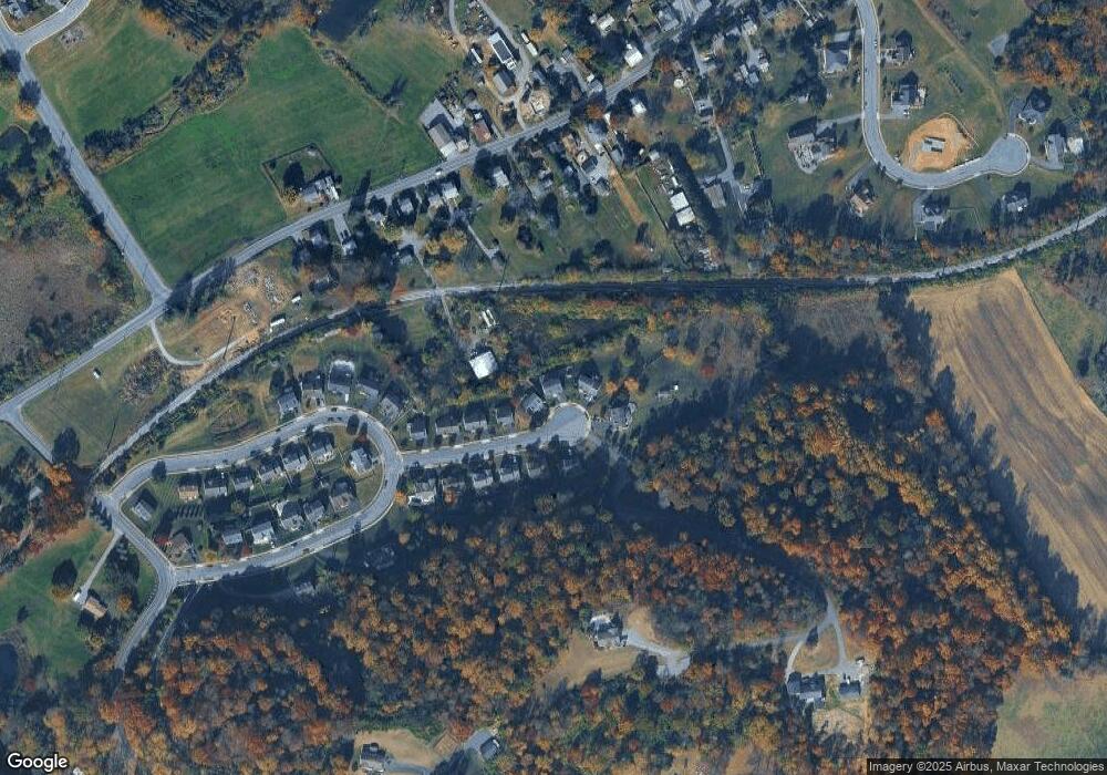
Map
Nearby Homes
- 110 S Cacoosing Dr
- 63 Preston Rd
- 13 Eagles Ln
- 90 Preston Rd
- 1181 LOT 3 Fritztown Rd
- 1192 Fritztown Rd
- 1185 Fritztown Rd
- 20 Mellowbrook Dr
- 13 Ligaro Way
- 0 Cushion Peak Rd
- 447 Epsilon Dr
- 3137 E Galen Hall Rd
- 310 Mail Route Rd
- 11 Fiorino Way Unit 1
- 555 Lincoln Dr
- 124 Mesa Dr
- 73 Michigan Dr
- 3305 Regency Dr
- 119 Carriage Dr
- 514 Arrowhead Trail
Your Personal Tour Guide
Ask me questions while you tour the home.