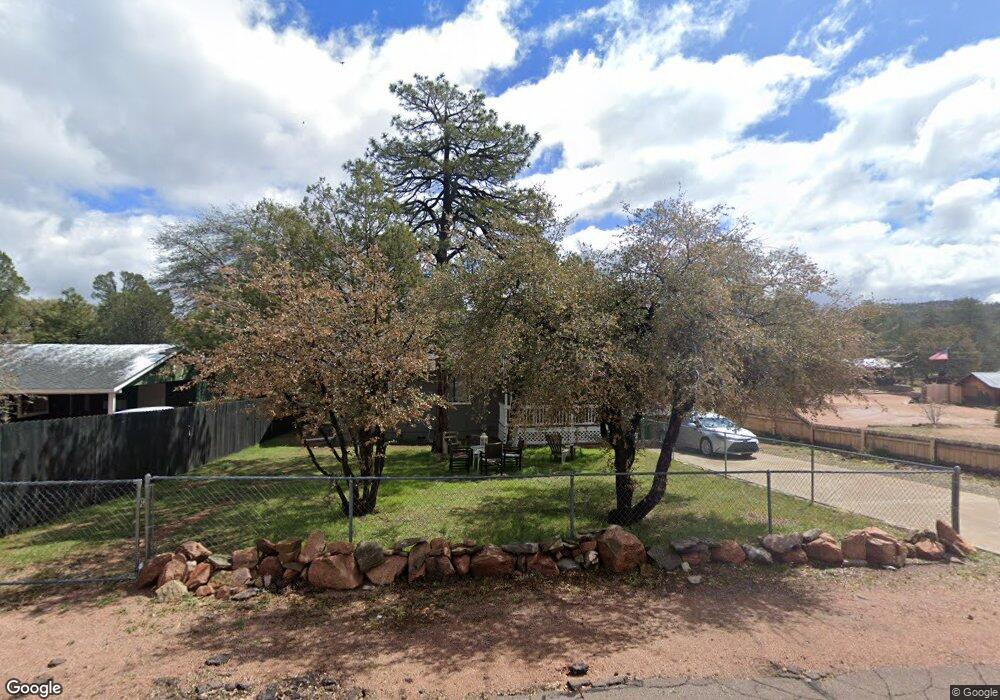
911 E Lone Pine Cir Payson, AZ 85541
Estimated Value: $358,000 - $433,000
4
Beds
2
Baths
1,500
Sq Ft
$259/Sq Ft
Est. Value
About This Home
This home is located at 911 E Lone Pine Cir, Payson, AZ 85541 and is currently estimated at $389,067, approximately $259 per square foot. 911 E Lone Pine Cir is a home located in Gila County with nearby schools including Julia Randall Elementary School, Payson Elementary School, and Rim Country Middle School.
Ownership History
Date
Name
Owned For
Owner Type
Purchase Details
Closed on
Sep 18, 2012
Sold by
Sisson Deborah A
Bought by
Bauer William J and Musurlian Bauer Sherry
Current Estimated Value
Purchase Details
Closed on
Aug 10, 2005
Sold by
Zych Franciszek A
Bought by
Sisson Deborah A
Home Financials for this Owner
Home Financials are based on the most recent Mortgage that was taken out on this home.
Original Mortgage
$143,200
Interest Rate
5.37%
Mortgage Type
New Conventional
Create a Home Valuation Report for This Property
The Home Valuation Report is an in-depth analysis detailing your home's value as well as a comparison with similar homes in the area
Purchase History
| Date | Buyer | Sale Price | Title Company |
|---|---|---|---|
| Bauer William J | $90,000 | Pioneer Title Agency | |
| Sisson Deborah A | $179,000 | First American Title |
Source: Public Records
Mortgage History
| Date | Status | Borrower | Loan Amount |
|---|---|---|---|
| Previous Owner | Sisson Deborah A | $143,200 |
Source: Public Records
Tax History
| Year | Tax Paid | Tax Assessment Tax Assessment Total Assessment is a certain percentage of the fair market value that is determined by local assessors to be the total taxable value of land and additions on the property. | Land | Improvement |
|---|---|---|---|---|
| 2026 | $1,580 | $30,054 | $5,834 | $24,220 |
| 2025 | $1,580 | -- | -- | -- |
| 2024 | $1,473 | $27,636 | $3,513 | $24,123 |
| 2023 | $1,473 | $24,034 | $3,320 | $20,714 |
| 2022 | $1,428 | $16,613 | $3,320 | $13,293 |
| 2021 | $1,341 | $16,613 | $3,320 | $13,293 |
| 2020 | $1,288 | $0 | $0 | $0 |
| 2019 | $1,250 | $0 | $0 | $0 |
| 2018 | $1,177 | $0 | $0 | $0 |
| 2017 | $1,097 | $0 | $0 | $0 |
| 2016 | $1,074 | $0 | $0 | $0 |
| 2015 | $977 | $0 | $0 | $0 |
Source: Public Records
Map
Nearby Homes
- 804 S Pony Cir
- 906 E Frontier St
- 703 E Frontier St Unit 31
- 1040 S Palomino Cir
- 603 E Amarillo Cir
- 1117 S Mud Springs Rd
- 1201 E Phoenix St Unit 13
- 705 E Miller Rd Unit 43
- 705 E Miller Rd Unit Space 1
- 705 E Miller Rd Unit 18
- 804 E Phoenix St
- 1112 S Cypress Cir
- 405 E Cherry St
- 903 E Granite Dells Rd Unit 10
- 1404 E Phoenix St Unit 6
- 1404 E Phoenix St
- 205 S Granite Dr
- 601 E Phoenix St
- 1412 E Phoenix St
- 611 E Hunter Dr
- 911 E Lone Pine Cir
- 911 E Lone Pine Cir
- 913 E Lone Pine Cir
- 909 E Lone Pine Cir
- 915 E Lone Pine Cir
- 910 E Lone Pine Cir
- 908 E Lone Pine Cir
- 907 E Lone Pine Cir
- 914 E Lone Pine Cir
- 806 S Mud Springs Rd
- 901 E Frontier St
- 903 E Lone Pine Cir
- 803 S Pony Cir
- 803 S Pony Cir
- 813 E Frontier St
- 908 E Oxbow Cir
- 805 S Pony Cir
- 801 S Pony Cir
- 807 S Pony Cir
- 906 E Oxbow Cir
Your Personal Tour Guide
Ask me questions while you tour the home.