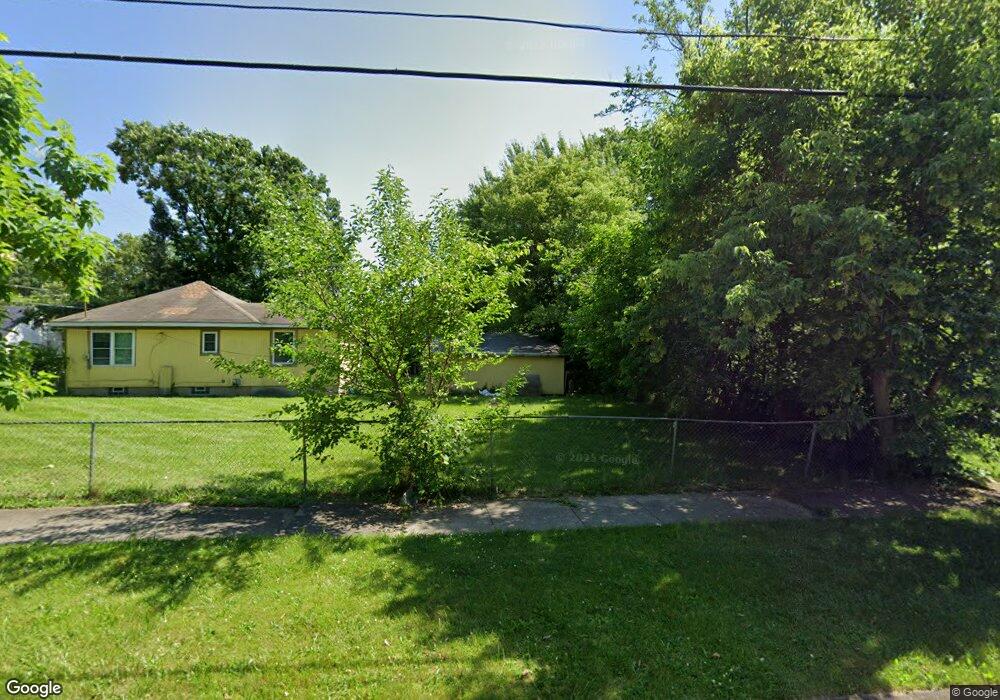
911 Leland St Flint, MI 48507
South Side NeighborhoodEstimated Value: $63,000 - $95,000
3
Beds
1
Bath
1,381
Sq Ft
$53/Sq Ft
Est. Value
About This Home
This home is located at 911 Leland St, Flint, MI 48507 and is currently estimated at $73,020, approximately $52 per square foot. 911 Leland St is a home located in Genesee County with nearby schools including Neithercut Elementary School, Flint Southwestern Classical Academy, and International Academy of Flint (K-12).
Ownership History
Date
Name
Owned For
Owner Type
Purchase Details
Closed on
Jul 22, 2009
Sold by
Swack Joshua and Mortgage Electronic Registrati
Bought by
Department Of Housing & Urban Developmen
Current Estimated Value
Purchase Details
Closed on
Jan 16, 2007
Sold by
Smith Charles D and Smith Barbara S
Bought by
Swack Joshua
Create a Home Valuation Report for This Property
The Home Valuation Report is an in-depth analysis detailing your home's value as well as a comparison with similar homes in the area
Home Values in the Area
Average Home Value in this Area
Purchase History
| Date | Buyer | Sale Price | Title Company |
|---|---|---|---|
| Department Of Housing & Urban Developmen | $45,463 | None Available | |
| Swack Joshua | $43,000 | Sargents Title Company |
Source: Public Records
Tax History Compared to Growth
Tax History
| Year | Tax Paid | Tax Assessment Tax Assessment Total Assessment is a certain percentage of the fair market value that is determined by local assessors to be the total taxable value of land and additions on the property. | Land | Improvement |
|---|---|---|---|---|
| 2025 | $462 | $3,700 | $0 | $0 |
| 2024 | $443 | $4,000 | $0 | $0 |
| 2023 | $446 | $3,100 | $0 | $0 |
| 2022 | $0 | $3,100 | $0 | $0 |
| 2021 | $444 | $3,000 | $0 | $0 |
| 2020 | $424 | $3,000 | $0 | $0 |
| 2019 | $427 | $3,000 | $0 | $0 |
| 2018 | $381 | $2,400 | $0 | $0 |
| 2017 | $1,034 | $0 | $0 | $0 |
| 2016 | $1,027 | $0 | $0 | $0 |
| 2015 | -- | $0 | $0 | $0 |
| 2014 | -- | $0 | $0 | $0 |
| 2012 | -- | $15,900 | $0 | $0 |
Source: Public Records
Map
Nearby Homes
- 845 Alvord Ave
- 818 Alvord Ave
- 822 Campbell St
- 1028 Campbell St
- 805 Alvord Ave
- 829 Clinton St
- 1015 Alvord Ave
- 4418 Brunswick Ave
- 738 W Atherton Rd
- 1130 W Atherton Rd
- 727 Waldman Ave
- 1212 Crawford St
- 1031 Ingleside Ave
- 936 Lincoln Ave
- 647 Crawford St
- 1228 Leland St
- 825 Vermilya Ave
- 805 Vermilya Ave
- 652 Huron St
- 1234 Huron St
- 915 Leland St
- 4006 Brunswick Ave
- 912 Crawford St
- 925 Leland St
- 920 Crawford St
- 4018 Brunswick Ave
- 924 Crawford St
- 3918 Brunswick Ave
- 912 Leland St
- 916 Leland St
- 931 Leland St
- 920 Leland St
- 928 Crawford St
- 4005 Brunswick Ave
- 4001 Brunswick Ave
- 936 Crawford St
- 862 Crawford St
- 932 Leland St
- 3906 Brunswick Ave
- 4009 Brunswick Ave