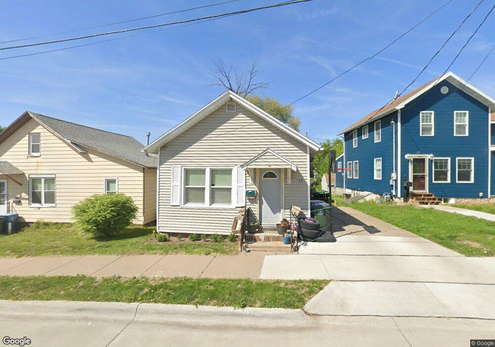
911 Lucas St Muscatine, IA 52761
Estimated Value: $75,000 - $101,000
1
Bed
1
Bath
792
Sq Ft
$109/Sq Ft
Est. Value
About This Home
This home is located at 911 Lucas St, Muscatine, IA 52761 and is currently estimated at $86,004, approximately $108 per square foot. 911 Lucas St is a home located in Muscatine County with nearby schools including McKinley Elementary School, Susan Clark Junior High School, and Muscatine High School.
Ownership History
Date
Name
Owned For
Owner Type
Purchase Details
Closed on
Jun 4, 2014
Sold by
Martin Andrew L and Martin Kelsie
Bought by
Hyink Michael D and Hyink Tamara S
Current Estimated Value
Home Financials for this Owner
Home Financials are based on the most recent Mortgage that was taken out on this home.
Original Mortgage
$40,000
Interest Rate
4.34%
Mortgage Type
Future Advance Clause Open End Mortgage
Purchase Details
Closed on
Dec 18, 2009
Sold by
Hake Randy and Hake Roxie
Bought by
Martin Andrew L
Home Financials for this Owner
Home Financials are based on the most recent Mortgage that was taken out on this home.
Original Mortgage
$49,094
Interest Rate
4.96%
Mortgage Type
FHA
Create a Home Valuation Report for This Property
The Home Valuation Report is an in-depth analysis detailing your home's value as well as a comparison with similar homes in the area
Home Values in the Area
Average Home Value in this Area
Purchase History
| Date | Buyer | Sale Price | Title Company |
|---|---|---|---|
| Hyink Michael D | $40,000 | None Available | |
| Martin Andrew L | $50,000 | None Available |
Source: Public Records
Mortgage History
| Date | Status | Borrower | Loan Amount |
|---|---|---|---|
| Closed | Hyink Michael D | $40,000 | |
| Previous Owner | Martin Andrew L | $49,094 |
Source: Public Records
Tax History Compared to Growth
Tax History
| Year | Tax Paid | Tax Assessment Tax Assessment Total Assessment is a certain percentage of the fair market value that is determined by local assessors to be the total taxable value of land and additions on the property. | Land | Improvement |
|---|---|---|---|---|
| 2025 | $1,044 | $60,930 | $7,980 | $52,950 |
| 2024 | $1,044 | $57,580 | $7,980 | $49,600 |
| 2023 | $990 | $56,869 | $7,971 | $48,898 |
| 2022 | $870 | $50,930 | $7,520 | $43,410 |
| 2021 | $870 | $42,620 | $7,520 | $35,100 |
| 2020 | $864 | $42,620 | $7,520 | $35,100 |
| 2019 | $914 | $41,410 | $0 | $0 |
| 2018 | $987 | $41,410 | $0 | $0 |
| 2017 | $902 | $41,410 | $0 | $0 |
| 2016 | $936 | $41,410 | $0 | $0 |
| 2015 | $936 | $48,080 | $0 | $0 |
| 2014 | $1,094 | $48,080 | $0 | $0 |
Source: Public Records
Map
Nearby Homes
- 900 W 3rd St
- 613 W 5th St
- 0 Parcel 1302108019 (Busch St)
- 1603 Lucas St
- 701 W Mississippi Dr
- 410 Spruce St
- 511 W 7th St
- 836 Newell Ave
- 0 High Street Parcel
- 315 W 3rd St
- 213 W 3rd St
- 1827 Hershey Ave
- 1903 Hershey Ave
- 1143 Logan St
- 126 W 2nd St
- LOTS 30-34 Evans St
- 106 W 9th St
- 106 E 8th St
- 111 Gilbert St
- 609 Liberty St
- 909 W 4th St
- 913 Lucas St
- 907 W 4th St
- 905 W 4th St
- 929 Lucas St
- 804 Whicher St
- 802 Whicher St
- 912 W 4th St
- 931 Lucas St
- 901 W 4th St
- LOT 7 Blk 1 Whicher's Addition
- LOT 7 Whicher's Addition
- 800 Whicher St
- 807 W 4th St
- 805 W 4th St
- 1303 Lucas St
- 906 W 4th St
- 410 Cherry St
- 808 Whicher St
- 402 Cherry St