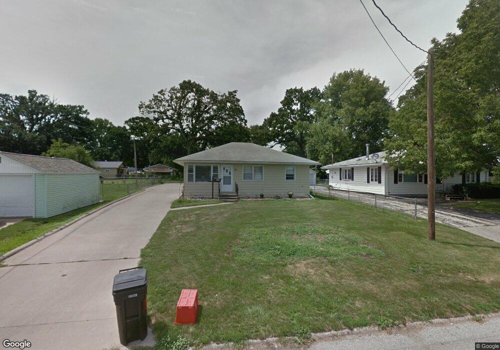
911 N Johnson Ave Ottumwa, IA 52501
Estimated Value: $121,000 - $154,000
3
Beds
1
Bath
952
Sq Ft
$145/Sq Ft
Est. Value
About This Home
This home is located at 911 N Johnson Ave, Ottumwa, IA 52501 and is currently estimated at $137,795, approximately $144 per square foot. 911 N Johnson Ave is a home located in Wapello County with nearby schools including Liberty Elementary School, Douma Elementary School, and Evans Middle School.
Ownership History
Date
Name
Owned For
Owner Type
Purchase Details
Closed on
Jun 22, 2012
Sold by
Moughler John H and Moughler Margie Lou
Bought by
Parcel Michael S and Parcel Wendi S
Current Estimated Value
Home Financials for this Owner
Home Financials are based on the most recent Mortgage that was taken out on this home.
Original Mortgage
$74,100
Outstanding Balance
$50,894
Interest Rate
3.64%
Mortgage Type
New Conventional
Estimated Equity
$86,901
Create a Home Valuation Report for This Property
The Home Valuation Report is an in-depth analysis detailing your home's value as well as a comparison with similar homes in the area
Home Values in the Area
Average Home Value in this Area
Purchase History
| Date | Buyer | Sale Price | Title Company |
|---|---|---|---|
| Parcel Michael S | $78,000 | None Available |
Source: Public Records
Mortgage History
| Date | Status | Borrower | Loan Amount |
|---|---|---|---|
| Open | Parcel Michael S | $74,100 |
Source: Public Records
Tax History Compared to Growth
Tax History
| Year | Tax Paid | Tax Assessment Tax Assessment Total Assessment is a certain percentage of the fair market value that is determined by local assessors to be the total taxable value of land and additions on the property. | Land | Improvement |
|---|---|---|---|---|
| 2025 | $2,634 | $139,660 | $10,620 | $129,040 |
| 2024 | $2,634 | $131,710 | $10,620 | $121,090 |
| 2023 | $2,300 | $131,710 | $10,620 | $121,090 |
| 2022 | $2,238 | $105,110 | $10,620 | $94,490 |
| 2021 | $2,450 | $96,510 | $10,620 | $85,890 |
| 2020 | $2,104 | $90,670 | $10,620 | $80,050 |
| 2019 | $2,156 | $90,670 | $0 | $0 |
| 2018 | $2,088 | $90,670 | $0 | $0 |
| 2017 | $2,088 | $88,830 | $0 | $0 |
| 2016 | $1,842 | $82,399 | $0 | $0 |
| 2015 | $1,844 | $82,399 | $0 | $0 |
| 2014 | $1,844 | $82,399 | $0 | $0 |
Source: Public Records
Map
Nearby Homes
- 1409 Swanson Ave
- 1507 Mowrey Ave
- 1441 Casa Blanca Ln
- 1322 Mowrey Ave
- 1021 Overman Ave
- 1529 Swanson Ave
- 1903 Mowrey Ave
- 745 Pocahontas Ln
- 448 Mckinley Ave
- 439 Wildwood Dr
- 9450 150th Ave
- 1508 Hamilton St
- 1005 Hamilton St
- 1401 W Finley Ave
- 1410 W Finley Ave
- 120 Shaul Ave
- 1975 Greenwood Dr
- 117 Lynwood Ave
- 9 Kingsley Dr
- 138 Minnesota St
- 915 N Johnson Ave
- 917 N Johnson Ave
- 1405 Swanson Ave
- 1401 Swanson Ave
- 910 N Johnson Ave
- 1413 Swanson Ave
- 914 N Johnson Ave
- 906 N Johnson Ave
- 916 N Johnson Ave
- 1402 Swanson Ave
- 1406 Swanson Ave
- 1417 Swanson Ave
- 1410 Swanson Ave
- 1422 Casa Blanca Ln
- 812 N Johnson Ave
- 1414 Swanson Ave
- 1421 Casa Blanca Ln
- 1426 Casa Blanca Ln
- 1425 Swanson Ave
- 1418 Swanson Ave