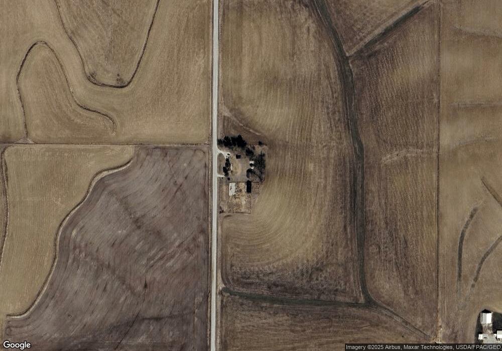
911 Umbrella Rd Harlan, IA 51537
Estimated Value: $193,000 - $239,000
3
Beds
2
Baths
1,244
Sq Ft
$167/Sq Ft
Est. Value
About This Home
This home is located at 911 Umbrella Rd, Harlan, IA 51537 and is currently estimated at $207,720, approximately $166 per square foot. 911 Umbrella Rd is a home located in Shelby County with nearby schools including Harlan Primary School, Harlan Intermediate School, and Harlan Community Middle School.
Ownership History
Date
Name
Owned For
Owner Type
Purchase Details
Closed on
Jan 24, 2018
Sold by
Driscoll Catherine C
Bought by
James E Juhl T
Current Estimated Value
Purchase Details
Closed on
Feb 3, 2017
Sold by
Carroll Dwight Alan
Bought by
Driscoll Cathrine Colleen and Carroll Cathrine Colleen
Purchase Details
Closed on
May 17, 2010
Sold by
Latham Gail J
Bought by
Carroll Catherine Colleen
Purchase Details
Closed on
Aug 10, 2007
Sold by
Frazier Paul B and Int Roxanne
Bought by
Latham Gail J
Create a Home Valuation Report for This Property
The Home Valuation Report is an in-depth analysis detailing your home's value as well as a comparison with similar homes in the area
Home Values in the Area
Average Home Value in this Area
Purchase History
| Date | Buyer | Sale Price | Title Company |
|---|---|---|---|
| James E Juhl T | -- | -- | |
| Driscoll Cathrine Colleen | -- | None Available | |
| Carroll Catherine Colleen | $83,500 | -- | |
| Latham Gail J | $87,000 | -- |
Source: Public Records
Tax History Compared to Growth
Tax History
| Year | Tax Paid | Tax Assessment Tax Assessment Total Assessment is a certain percentage of the fair market value that is determined by local assessors to be the total taxable value of land and additions on the property. | Land | Improvement |
|---|---|---|---|---|
| 2025 | $1,832 | $170,051 | $39,960 | $130,091 |
| 2024 | $1,832 | $151,467 | $39,960 | $111,507 |
| 2023 | $1,522 | $151,467 | $39,960 | $111,507 |
| 2022 | $1,522 | $116,221 | $39,960 | $76,261 |
| 2021 | $1,376 | $116,221 | $39,960 | $76,261 |
| 2020 | $1,280 | $104,279 | $39,960 | $64,319 |
| 2019 | $1,270 | $101,215 | $0 | $0 |
| 2018 | $1,236 | $101,215 | $0 | $0 |
| 2017 | $1,236 | $101,215 | $0 | $0 |
| 2016 | $1,454 | $105,904 | $0 | $0 |
| 2015 | $1,454 | $100,362 | $0 | $0 |
| 2014 | $1,352 | $100,362 | $0 | $0 |
Source: Public Records
Map
Nearby Homes
- 2566 Yellowwood Rd
- 205 W 3rd St
- 308 W Alfred St
- 2705 Bluebird Ave
- 1521 Road M56
- 2130 Park St
- 4426 Main St
- 4318 Main St
- 4310 Main St
- 2118 Washington St
- 2018 Washington St
- 2014 Washington St
- 2023 Broadway
- 4206 Madison St
- 2002 Washington St
- 105 Court St
- 408 Court St
- 1910 7th St
- 1704 7th St
- 512 Cyclone Ave