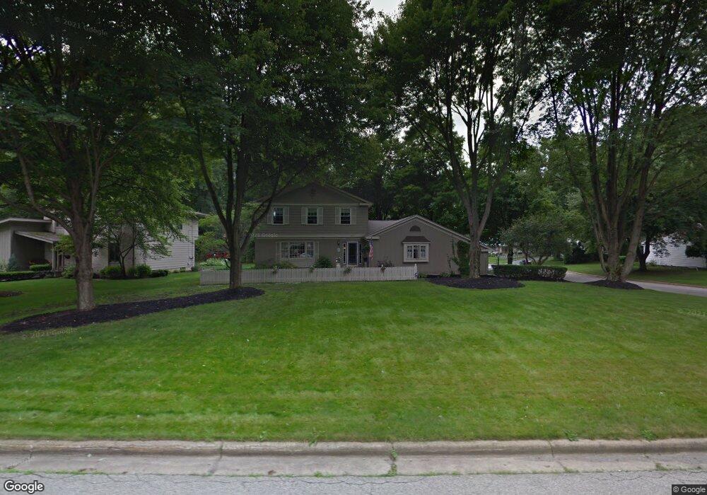
911 Westport Dr Youngstown, OH 44511
Estimated Value: $278,000 - $295,000
3
Beds
3
Baths
1,902
Sq Ft
$149/Sq Ft
Est. Value
About This Home
This home is located at 911 Westport Dr, Youngstown, OH 44511 and is currently estimated at $284,032, approximately $149 per square foot. 911 Westport Dr is a home located in Mahoning County with nearby schools including West Boulevard Elementary School, Boardman Center Middle School, and Boardman High School.
Ownership History
Date
Name
Owned For
Owner Type
Purchase Details
Closed on
Feb 7, 2023
Sold by
Drummond John P and Drummond Lucille S
Bought by
Drummond John P and Drummond Lucille S
Current Estimated Value
Home Financials for this Owner
Home Financials are based on the most recent Mortgage that was taken out on this home.
Original Mortgage
$158,000
Outstanding Balance
$152,824
Interest Rate
6.09%
Mortgage Type
New Conventional
Estimated Equity
$131,208
Purchase Details
Closed on
Sep 19, 1990
Bought by
Drummond John P and Drummond Lucille
Create a Home Valuation Report for This Property
The Home Valuation Report is an in-depth analysis detailing your home's value as well as a comparison with similar homes in the area
Home Values in the Area
Average Home Value in this Area
Purchase History
| Date | Buyer | Sale Price | Title Company |
|---|---|---|---|
| Drummond John P | -- | None Listed On Document | |
| Drummond John P | $127,600 | -- |
Source: Public Records
Mortgage History
| Date | Status | Borrower | Loan Amount |
|---|---|---|---|
| Open | Drummond John P | $158,000 |
Source: Public Records
Tax History Compared to Growth
Tax History
| Year | Tax Paid | Tax Assessment Tax Assessment Total Assessment is a certain percentage of the fair market value that is determined by local assessors to be the total taxable value of land and additions on the property. | Land | Improvement |
|---|---|---|---|---|
| 2024 | $3,847 | $76,180 | $11,000 | $65,180 |
| 2023 | $3,343 | $76,180 | $11,000 | $65,180 |
| 2022 | $3,235 | $49,610 | $10,000 | $39,610 |
| 2021 | $3,238 | $49,610 | $10,000 | $39,610 |
| 2020 | $3,254 | $49,610 | $10,000 | $39,610 |
| 2019 | $3,488 | $47,700 | $9,610 | $38,090 |
| 2018 | $3,022 | $47,700 | $9,610 | $38,090 |
| 2017 | $3,019 | $47,700 | $9,610 | $38,090 |
| 2016 | $2,904 | $45,440 | $9,610 | $35,830 |
| 2015 | $2,846 | $45,440 | $9,610 | $35,830 |
| 2014 | $2,854 | $45,440 | $9,610 | $35,830 |
| 2013 | $2,818 | $45,440 | $9,610 | $35,830 |
Source: Public Records
Map
Nearby Homes
- 990 Westport Dr
- 21.19 acres Truesdale and Lockwood Rd
- 29 Gillian Ln
- 537 W Glen Dr
- 5200 West Blvd Unit 505
- 5670 Tracy Dr
- 3927 Hopkins Rd
- 4042 Baymar Dr
- 1342 Shields Rd
- 138 Robinhood Way
- 4478 Devonshire Dr Unit 1B
- 5097 Tippwood Ct
- 715 Crestview Dr
- 272 Shields Rd
- 772 Ewing Rd
- 4096 Bob o Link Dr
- 5020 Friendship Ave
- 4506 Green Glen Dr
- 2981 Louise Rita Ct
- 4543 Tippecanoe Rd
- 941 Westport Dr
- 881 Westport Dr
- 917 Greyledge Place
- 926 Westport Dr
- 910 Westport Dr
- 923 Greyledge Place
- 896 Westport Dr
- 880 Westport Dr
- 940 Westport Dr
- 961 Westport Dr
- 935 Greyledge Place
- 867 Westport Dr
- 866 Westport Dr
- 929 Greyledge Place
- 960 Westport Dr
- 981 Westport Dr
- 850 Cove Place
- 852 Westport Dr
- 853 Westport Dr
- 1031 Westport Dr