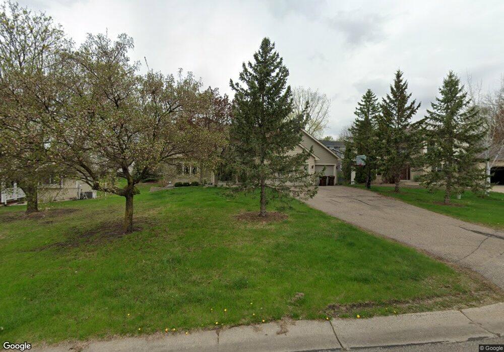
911 Woodhill Cir Watertown, MN 55388
Estimated Value: $408,000 - $476,000
4
Beds
4
Baths
2,240
Sq Ft
$195/Sq Ft
Est. Value
About This Home
This home is located at 911 Woodhill Cir, Watertown, MN 55388 and is currently estimated at $436,917, approximately $195 per square foot. 911 Woodhill Cir is a home located in Carver County with nearby schools including Watertown-Mayer Elementary School, Watertown-Mayer Middle School, and Watertown Mayer High School.
Ownership History
Date
Name
Owned For
Owner Type
Purchase Details
Closed on
Sep 2, 1997
Sold by
Key Land Homes
Bought by
Grotbo Kenneth P and Grotbo Tamara I
Current Estimated Value
Purchase Details
Closed on
May 15, 1997
Sold by
Ground Development Inc
Bought by
Key Land Homes
Create a Home Valuation Report for This Property
The Home Valuation Report is an in-depth analysis detailing your home's value as well as a comparison with similar homes in the area
Home Values in the Area
Average Home Value in this Area
Purchase History
| Date | Buyer | Sale Price | Title Company |
|---|---|---|---|
| Grotbo Kenneth P | $184,820 | -- | |
| Key Land Homes | $33,500 | -- |
Source: Public Records
Mortgage History
| Date | Status | Borrower | Loan Amount |
|---|---|---|---|
| Closed | Key Land Homes | -- |
Source: Public Records
Tax History Compared to Growth
Tax History
| Year | Tax Paid | Tax Assessment Tax Assessment Total Assessment is a certain percentage of the fair market value that is determined by local assessors to be the total taxable value of land and additions on the property. | Land | Improvement |
|---|---|---|---|---|
| 2025 | $4,954 | $424,700 | $80,000 | $344,700 |
| 2024 | $4,878 | $402,800 | $80,000 | $322,800 |
| 2023 | $4,826 | $402,800 | $80,000 | $322,800 |
| 2022 | $4,556 | $405,800 | $72,600 | $333,200 |
| 2021 | $4,616 | $317,600 | $60,500 | $257,100 |
| 2020 | $4,656 | $317,600 | $60,500 | $257,100 |
| 2019 | $4,400 | $302,700 | $57,600 | $245,100 |
| 2018 | $4,018 | $302,700 | $57,600 | $245,100 |
| 2017 | $3,926 | $263,500 | $47,600 | $215,900 |
| 2016 | $3,854 | $236,500 | $0 | $0 |
| 2015 | $3,466 | $214,400 | $0 | $0 |
| 2014 | $3,466 | $190,900 | $0 | $0 |
Source: Public Records
Map
Nearby Homes
- 865 Quail Ct
- XXX Newton Ave SE
- 593 Sienna Dr
- 578 Sienna Dr
- 1201 Bishop Cir
- 1221 Bishop Cir
- 1290 Knight Ln
- 12120 County Road 24
- 313 Angel Ave SW
- 555 Industrial Blvd
- 829 Reo Rd
- 115 Riverside Terrace Dr Unit 115
- 536 Industrial Blvd
- 575 Industrial Blvd
- 408 Franklin Ave SW
- 1316 Balsam Ln
- 516 Industrial Blvd
- 613 Hawthorne Ln
- 600 Jefferson Ave SW
- 1286 Balsam Ln
- 909 Woodhill Cir
- 913 Woodhill Cir
- 863 Quail Ct
- 867 Quail Ct
- 907 Woodhill Cir
- 915 Woodhill Cir
- 869 Quail Ct
- 921 Woodhill Cir
- 871 Quail Ct
- 917 Woodhill Cir
- 919 Woodhill Cir
- 861 Quail Ct
- 873 Quail Ct
- 875 Quail Ct
- 916 Deerfield Rd
- 830 Southview St SE
- 912 Deerfield Rd
- 855 Quail Ct
- 853 Quail Ct
- 925 Deerfield Rd