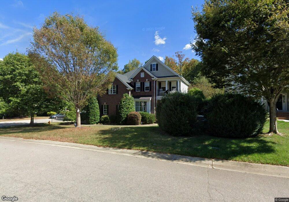
9116 Linslade Way Wake Forest, NC 27587
Estimated Value: $537,746 - $590,000
Studio
4
Baths
2,838
Sq Ft
$201/Sq Ft
Est. Value
About This Home
This home is located at 9116 Linslade Way, Wake Forest, NC 27587 and is currently estimated at $571,437, approximately $201 per square foot. 9116 Linslade Way is a home located in Wake County with nearby schools including Rolesville Elementary School, Wake Forest-Rolesville Middle School, and Heritage High School.
Ownership History
Date
Name
Owned For
Owner Type
Purchase Details
Closed on
Nov 8, 2005
Sold by
Centex Homes
Bought by
Frank Scott M and Frank Theresa L
Current Estimated Value
Home Financials for this Owner
Home Financials are based on the most recent Mortgage that was taken out on this home.
Original Mortgage
$220,250
Outstanding Balance
$118,605
Interest Rate
5.76%
Mortgage Type
Fannie Mae Freddie Mac
Estimated Equity
$452,832
Create a Home Valuation Report for This Property
The Home Valuation Report is an in-depth analysis detailing your home's value as well as a comparison with similar homes in the area
Home Values in the Area
Average Home Value in this Area
Purchase History
| Date | Buyer | Sale Price | Title Company |
|---|---|---|---|
| Frank Scott M | $275,500 | None Available |
Source: Public Records
Mortgage History
| Date | Status | Borrower | Loan Amount |
|---|---|---|---|
| Open | Frank Scott M | $220,250 | |
| Closed | Frank Scott M | $41,300 |
Source: Public Records
Tax History
| Year | Tax Paid | Tax Assessment Tax Assessment Total Assessment is a certain percentage of the fair market value that is determined by local assessors to be the total taxable value of land and additions on the property. | Land | Improvement |
|---|---|---|---|---|
| 2025 | $5,213 | $541,195 | $110,000 | $431,195 |
| 2024 | $5,193 | $541,195 | $110,000 | $431,195 |
Source: Public Records
Map
Nearby Homes
- 9108 Linslade Way
- 9117 Linslade Way
- 9100 Dansforeshire Way
- 3705 Andoversford Ct
- 3908 Robins Nest Ln
- 712 Marshall Farm St
- 749 Marshall Farm St
- 2925 Carriage Meadows Dr
- 1321 Yardley Dr
- 9637 Burge Ct
- 9249 Kitchin Farms Way Unit 432
- 6633 Penfield St
- 9237 Kitchin Farms Way Unit 429
- 9232 Kitchin Farms Way
- 337 Simwood Ave
- 3901 Sanford Creek Ave
- 2800 Carriage Meadows Dr
- 3065 Thurman Dairy Loop
- 904 Prairie Smoke St
- 1000 Lightfoot Ct
- 9112 Linslade Way
- 3701 Bankwell St
- 3705 Bankwell St
- 9104 Linslade Way
- 9113 Linslade Way
- 9109 Linslade Way
- 9101 Linslade Way
- 9105 Linslade Way
- 9124 Linslade Way
- 9121 Linslade Way
- 9100 Linslade Way
- 3625 Trawden Dr
- 9125 Linslade Way
- 9128 Linslade Way
- 9060 Linslade Way
- 9112 Cornwell Dr
- 9108 Cornwell Dr
- 9129 Linslade Way
- 9116 Cornwell Dr
- 9104 Cornwell Dr
Your Personal Tour Guide
Ask me questions while you tour the home.