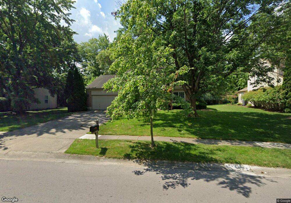
9117 Meadow Dr Maineville, OH 45039
Landen NeighborhoodEstimated Value: $419,309 - $437,000
4
Beds
3
Baths
2,214
Sq Ft
$193/Sq Ft
Est. Value
About This Home
This home is located at 9117 Meadow Dr, Maineville, OH 45039 and is currently estimated at $428,077, approximately $193 per square foot. 9117 Meadow Dr is a home located in Warren County with nearby schools including Kings Junior High School, Kings High School, and King Of Kings Lutheran Early Childhood Education.
Ownership History
Date
Name
Owned For
Owner Type
Purchase Details
Closed on
Apr 27, 1987
Sold by
Drees Company
Bought by
Tsitouris and Tsitouris Andrew C
Current Estimated Value
Purchase Details
Closed on
Oct 17, 1986
Sold by
Landen Farm Company
Bought by
Drees Company
Purchase Details
Closed on
Jul 1, 1986
Sold by
Landen Farm Company
Bought by
Landen Farm Company
Create a Home Valuation Report for This Property
The Home Valuation Report is an in-depth analysis detailing your home's value as well as a comparison with similar homes in the area
Home Values in the Area
Average Home Value in this Area
Purchase History
| Date | Buyer | Sale Price | Title Company |
|---|---|---|---|
| Tsitouris | $116,800 | -- | |
| Drees Company | -- | -- | |
| Landen Farm Company | -- | -- |
Source: Public Records
Tax History
| Year | Tax Paid | Tax Assessment Tax Assessment Total Assessment is a certain percentage of the fair market value that is determined by local assessors to be the total taxable value of land and additions on the property. | Land | Improvement |
|---|---|---|---|---|
| 2025 | $5,548 | $116,220 | $26,250 | $89,970 |
| 2024 | $5,548 | $116,220 | $26,250 | $89,970 |
| 2023 | $4,866 | $92,582 | $12,915 | $79,667 |
| 2022 | $4,778 | $92,582 | $12,915 | $79,667 |
| 2021 | $4,002 | $92,582 | $12,915 | $79,667 |
| 2020 | $3,776 | $75,271 | $10,500 | $64,771 |
| 2019 | $3,822 | $75,271 | $10,500 | $64,771 |
| 2018 | $3,802 | $75,271 | $10,500 | $64,771 |
| 2017 | $3,565 | $63,931 | $10,371 | $53,561 |
| 2016 | $3,656 | $63,931 | $10,371 | $53,561 |
| 2015 | $3,042 | $63,931 | $10,371 | $53,561 |
| 2014 | $3,042 | $56,570 | $9,180 | $47,400 |
| 2013 | $3,046 | $64,730 | $10,500 | $54,230 |
Source: Public Records
Map
Nearby Homes
- 3833 Spring Mill Way
- 9279 Hickory Hill Ct
- 3541 Green Haven Way
- 9547 Carriage Run Cir
- 9204 Yarmouth Dr Unit 9204
- 8839 Pollard Place
- 4036 Oak Tree Ct
- 3464 Simpson Trace
- 8409 Winding Trail Place
- 3580 Twenty Mile Way Unit 3580
- 8225 Winding Trail Place
- 3444 Twenty Mile Way Unit 3444
- 9626 Greenery Ct
- 2956 Kingsley Ct
- 2898 Mossy Brink Ct Unit 19
- 8846 Morley Place
- 4281 S Haven Dr
- 4390 S Mallard Cove
- 2831 Jessica Ct
- 2845 Columbia Trail
- 9131 Meadow Dr
- 9105 Meadow Dr
- 9145 Meadow Dr
- 9093 Meadow Dr
- 3684 Spring Mill Way
- 9136 Meadow Dr
- 3878 Townsley Dr
- 3696 Spring Mill Way
- 8945 Farmdale Way
- 3896 Townsley Dr
- 9077 Meadow Dr
- 9159 Meadow Dr
- 3916 Townsley Dr
- 3683 Spring Mill Way
- 3706 Spring Mill Way
- 8933 Farmdale Way
- 9065 Meadow Dr
- 3844 Townsley Dr
- 9171 Meadow Dr
- 3691 Spring Mill Way
Your Personal Tour Guide
Ask me questions while you tour the home.