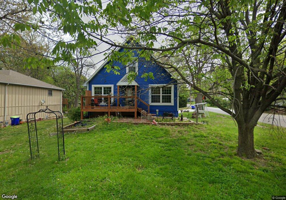
9117 Summit St Lenexa, KS 66215
Estimated Value: $305,000 - $404,000
3
Beds
3
Baths
1,379
Sq Ft
$254/Sq Ft
Est. Value
About This Home
This home is located at 9117 Summit St, Lenexa, KS 66215 and is currently estimated at $350,308, approximately $254 per square foot. 9117 Summit St is a home located in Johnson County with nearby schools including Sunflower Elementary School, Westridge Middle School, and Shawnee Mission West High School.
Ownership History
Date
Name
Owned For
Owner Type
Purchase Details
Closed on
Jan 18, 2005
Sold by
Macbain Bruce D
Bought by
Gibson Brett B
Current Estimated Value
Home Financials for this Owner
Home Financials are based on the most recent Mortgage that was taken out on this home.
Original Mortgage
$34,000
Outstanding Balance
$8,948
Interest Rate
5.68%
Mortgage Type
Credit Line Revolving
Estimated Equity
$341,360
Purchase Details
Closed on
Dec 28, 2002
Sold by
Macbain Mary Rapp
Bought by
Macbain Bruce Douglas
Create a Home Valuation Report for This Property
The Home Valuation Report is an in-depth analysis detailing your home's value as well as a comparison with similar homes in the area
Home Values in the Area
Average Home Value in this Area
Purchase History
| Date | Buyer | Sale Price | Title Company |
|---|---|---|---|
| Gibson Brett B | -- | Cuarantee Title | |
| Macbain Bruce Douglas | -- | -- |
Source: Public Records
Mortgage History
| Date | Status | Borrower | Loan Amount |
|---|---|---|---|
| Open | Gibson Brett B | $34,000 | |
| Open | Gibson Brett B | $136,000 |
Source: Public Records
Tax History
| Year | Tax Paid | Tax Assessment Tax Assessment Total Assessment is a certain percentage of the fair market value that is determined by local assessors to be the total taxable value of land and additions on the property. | Land | Improvement |
|---|---|---|---|---|
| 2025 | $3,689 | $35,961 | $5,978 | $29,983 |
| 2024 | $3,689 | $33,488 | $5,431 | $28,057 |
| 2023 | $3,538 | $31,396 | $4,934 | $26,462 |
| 2022 | $3,300 | $29,256 | $4,484 | $24,772 |
| 2021 | $3,057 | $25,599 | $4,265 | $21,334 |
| 2020 | $3,140 | $26,059 | $3,877 | $22,182 |
| 2019 | $3,022 | $25,059 | $3,232 | $21,827 |
| 2018 | $2,856 | $23,449 | $3,232 | $20,217 |
| 2017 | $2,766 | $22,000 | $2,941 | $19,059 |
| 2016 | $2,650 | $20,804 | $2,941 | $17,863 |
| 2015 | $2,419 | $19,090 | $2,941 | $16,149 |
| 2013 | -- | $18,607 | $2,941 | $15,666 |
Source: Public Records
Map
Nearby Homes
- 9029 Acuff Ln
- 8740 Park St
- 9412 Mullen Rd
- 8645 Greenwood Ln
- 14640 W 90th St
- 13204 W 85th Ct
- 14900 W 91st Terrace
- 9212 Constance St
- 8914 Country Hill Ct
- 12908 W 84th St
- 12525 W 85th Terrace
- 8545 Westgate St
- 13212 W 84th St
- 15113 W 91st Place
- 9901 Countryside Rd
- 9938 Fair Lane Rd
- 8221 Noland Rd
- 8362 Oakview Cir
- 9914 Westgate Ln
- 8443 Alden St
Your Personal Tour Guide
Ask me questions while you tour the home.