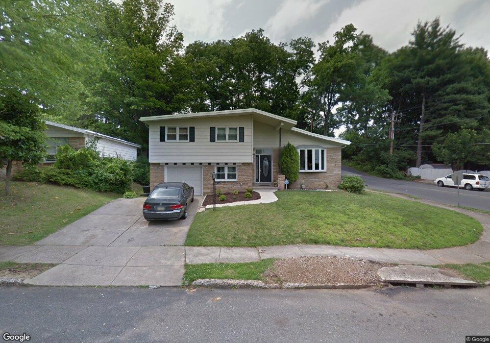
9118 Dale Rd Philadelphia, PA 19115
Bustleton NeighborhoodEstimated Value: $463,519 - $576,000
3
Beds
3
Baths
1,964
Sq Ft
$258/Sq Ft
Est. Value
About This Home
This home is located at 9118 Dale Rd, Philadelphia, PA 19115 and is currently estimated at $507,130, approximately $258 per square foot. 9118 Dale Rd is a home located in Philadelphia County with nearby schools including Frank Anne School, CCA Baldi Middle School, and George Washington High School.
Ownership History
Date
Name
Owned For
Owner Type
Purchase Details
Closed on
Apr 29, 2011
Sold by
Thekkudan Sujathan Jose and Thekkudan Jose D
Bought by
Ricci Thomas
Current Estimated Value
Purchase Details
Closed on
Aug 8, 2002
Sold by
Mattera Thomas B and Mattera Alexis R
Bought by
Thekkudan Jose D and Thekkudan Sujatha Jose
Home Financials for this Owner
Home Financials are based on the most recent Mortgage that was taken out on this home.
Original Mortgage
$171,000
Interest Rate
6.57%
Create a Home Valuation Report for This Property
The Home Valuation Report is an in-depth analysis detailing your home's value as well as a comparison with similar homes in the area
Home Values in the Area
Average Home Value in this Area
Purchase History
| Date | Buyer | Sale Price | Title Company |
|---|---|---|---|
| Ricci Thomas | $235,000 | None Available | |
| Thekkudan Jose D | $190,000 | -- |
Source: Public Records
Mortgage History
| Date | Status | Borrower | Loan Amount |
|---|---|---|---|
| Previous Owner | Thekkudan Jose D | $171,000 |
Source: Public Records
Tax History Compared to Growth
Tax History
| Year | Tax Paid | Tax Assessment Tax Assessment Total Assessment is a certain percentage of the fair market value that is determined by local assessors to be the total taxable value of land and additions on the property. | Land | Improvement |
|---|---|---|---|---|
| 2025 | $5,042 | $435,000 | $87,000 | $348,000 |
| 2024 | $5,042 | $435,000 | $87,000 | $348,000 |
| 2023 | $5,042 | $360,200 | $72,040 | $288,160 |
| 2022 | $4,044 | $360,200 | $72,040 | $288,160 |
| 2021 | $4,044 | $0 | $0 | $0 |
| 2020 | $4,044 | $0 | $0 | $0 |
| 2019 | $3,872 | $0 | $0 | $0 |
| 2018 | $3,785 | $0 | $0 | $0 |
| 2017 | $3,785 | $0 | $0 | $0 |
| 2016 | $3,785 | $0 | $0 | $0 |
| 2015 | $3,623 | $0 | $0 | $0 |
| 2014 | -- | $270,400 | $133,749 | $136,651 |
| 2012 | -- | $37,248 | $9,062 | $28,186 |
Source: Public Records
Map
Nearby Homes
- 1603 Colima Rd
- 1608 Colima Rd
- 9117 Bustleton Ave
- 9105 Bustleton Ave
- 9310 Jamison Ave Unit B
- 1700 Tracey St Unit A
- 8910 Krewstown Rd Unit 111
- 9336 Neil Rd Unit B
- 8900 Alton St
- 2015 Welsh Rd Unit D50
- 8614 Agusta St
- 8870 Alton St
- 8606 Frontenac St
- 2089 Welsh Rd Unit F1
- 1132 Alton Place
- 9376 Neil Rd Unit A
- 9366 Hoff St
- 2131 Welsh Rd Unit 312
- 2131 Welsh Rd Unit 315
- 1907 Nester St