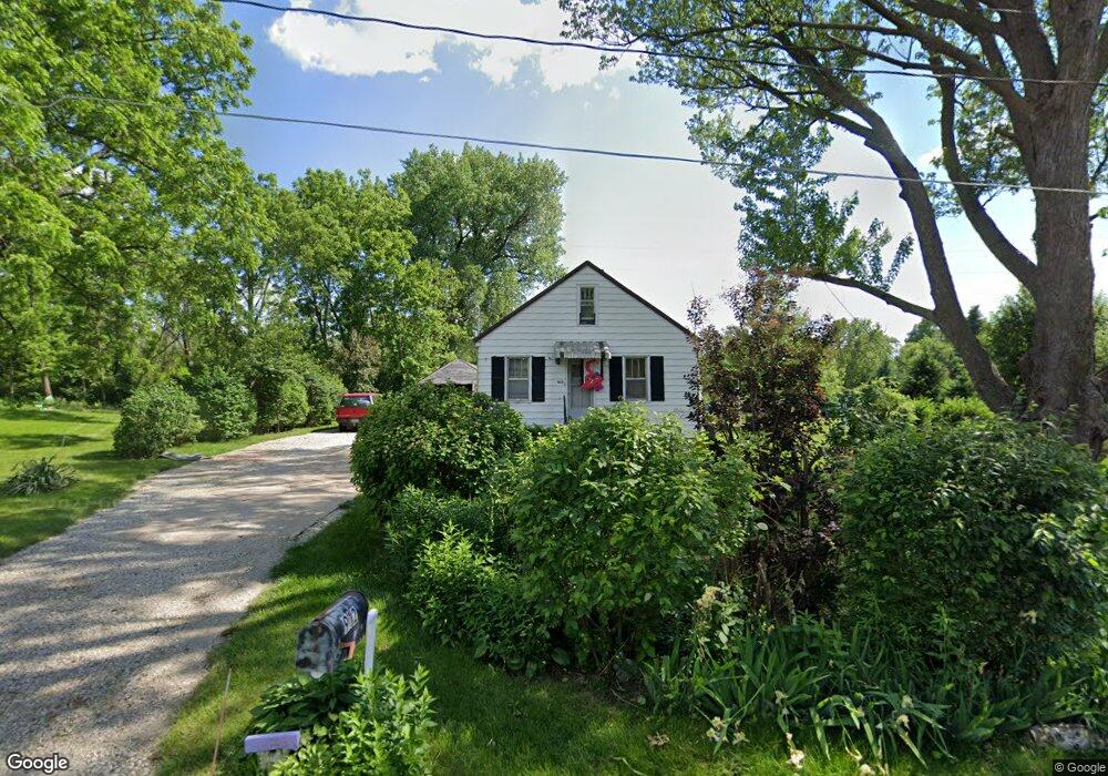
912 Anthony St Evansdale, IA 50707
Cityview NeighborhoodEstimated Value: $63,000 - $97,299
2
Beds
1
Bath
893
Sq Ft
$81/Sq Ft
Est. Value
About This Home
This home is located at 912 Anthony St, Evansdale, IA 50707 and is currently estimated at $72,075, approximately $80 per square foot. 912 Anthony St is a home located in Black Hawk County with nearby schools including Highland Elementary School, George Washington Carver Academy, and West High School.
Ownership History
Date
Name
Owned For
Owner Type
Purchase Details
Closed on
Dec 2, 2022
Sold by
Olsson Jons Olsson and Olsson Ann E
Bought by
Burbridge Joseph P
Current Estimated Value
Purchase Details
Closed on
Apr 10, 2019
Sold by
Bank Of America Na
Bought by
Burbridge Joseph P
Purchase Details
Closed on
May 1, 2013
Sold by
Burbridge Joseph B and Claiser Carmen L
Bought by
Bank Of America Na
Create a Home Valuation Report for This Property
The Home Valuation Report is an in-depth analysis detailing your home's value as well as a comparison with similar homes in the area
Home Values in the Area
Average Home Value in this Area
Purchase History
| Date | Buyer | Sale Price | Title Company |
|---|---|---|---|
| Burbridge Joseph P | $3,500 | None Listed On Document | |
| Burbridge Joseph P | $39,051 | -- | |
| Bank Of America Na | $21,390 | None Available |
Source: Public Records
Tax History Compared to Growth
Tax History
| Year | Tax Paid | Tax Assessment Tax Assessment Total Assessment is a certain percentage of the fair market value that is determined by local assessors to be the total taxable value of land and additions on the property. | Land | Improvement |
|---|---|---|---|---|
| 2024 | $1,154 | $63,450 | $20,530 | $42,920 |
| 2023 | $804 | $62,300 | $20,530 | $41,770 |
| 2022 | $780 | $45,460 | $20,530 | $24,930 |
| 2021 | $706 | $45,460 | $20,530 | $24,930 |
| 2020 | $690 | $39,750 | $12,320 | $27,430 |
| 2019 | $690 | $39,750 | $12,320 | $27,430 |
| 2018 | $886 | $39,750 | $12,320 | $27,430 |
| 2017 | $886 | $39,750 | $12,320 | $27,430 |
| 2016 | $902 | $39,750 | $12,320 | $27,430 |
| 2015 | $902 | $39,750 | $12,320 | $27,430 |
| 2014 | $862 | $37,250 | $12,320 | $24,930 |
Source: Public Records
Map
Nearby Homes
- 701 Shirley St
- 0 Plainview & Shirley St Unit NBR20254115
- 600 S View Dr
- 1900 Clearview St
- 1446 Ruth St
- 1865 Independence Ave
- 326 Highland Blvd
- 1235 Independence Ave
- 1127 Independence Ave
- 0 Madison Monroe Unit NBR20253026
- 211 Madison St
- 823 Glenwood St
- 1002 Mobile St
- 0 Bates St
- Lot 11 & 12 Webster St
- 232 Webster St
- 630 Webster St
- 225 Halstead St
- 235 Jackson St
- 2836 Independence Ave
- 930 Anthony St
- 927 Anthony St
- 901 Anthony St
- 1942 Newell St
- 1952 Newell St
- 1938 Newell St
- 1962 Newell St
- 1932 Newell St
- 2322 Springview St
- 807 Anthony St
- 1902 Newell St
- 2300 Springview St
- 810 Cordell St
- 1972 Newell St
- 802 Cordell St
- 2303 Springview St
- 2325 Springview St
- 2313 Springview St
- 2309 Springview St
- 715 Anthony St