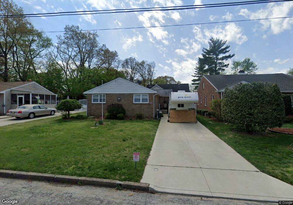
912 Arndt Ave Riverside, NJ 08075
Riverside Township NeighborhoodEstimated Value: $329,000 - $393,000
--
Bed
--
Bath
1,577
Sq Ft
$231/Sq Ft
Est. Value
About This Home
This home is located at 912 Arndt Ave, Riverside, NJ 08075 and is currently estimated at $363,853, approximately $230 per square foot. 912 Arndt Ave is a home located in Burlington County with nearby schools including Riverside Elementary School, Riverside Middle School, and Riverside High School.
Ownership History
Date
Name
Owned For
Owner Type
Purchase Details
Closed on
Jul 12, 2002
Sold by
Wikel Keith G
Bought by
Bluhm Charles and Bluhm Doreen
Current Estimated Value
Home Financials for this Owner
Home Financials are based on the most recent Mortgage that was taken out on this home.
Original Mortgage
$116,100
Outstanding Balance
$49,287
Interest Rate
6.73%
Estimated Equity
$314,566
Purchase Details
Closed on
Dec 15, 1995
Sold by
Foulks Edward F and Foulks Rose M
Bought by
Wikel Keith G and Wikel Nancy J
Create a Home Valuation Report for This Property
The Home Valuation Report is an in-depth analysis detailing your home's value as well as a comparison with similar homes in the area
Home Values in the Area
Average Home Value in this Area
Purchase History
| Date | Buyer | Sale Price | Title Company |
|---|---|---|---|
| Bluhm Charles | $129,000 | Surety Title Corporation | |
| Wikel Keith G | $115,900 | Surety Title Corporation |
Source: Public Records
Mortgage History
| Date | Status | Borrower | Loan Amount |
|---|---|---|---|
| Open | Bluhm Charles | $116,100 |
Source: Public Records
Tax History Compared to Growth
Tax History
| Year | Tax Paid | Tax Assessment Tax Assessment Total Assessment is a certain percentage of the fair market value that is determined by local assessors to be the total taxable value of land and additions on the property. | Land | Improvement |
|---|---|---|---|---|
| 2025 | $7,166 | $174,600 | $49,000 | $125,600 |
| 2024 | $6,982 | $174,600 | $49,000 | $125,600 |
| 2023 | $6,982 | $174,600 | $49,000 | $125,600 |
| 2022 | $6,837 | $174,600 | $49,000 | $125,600 |
| 2021 | $6,764 | $174,600 | $49,000 | $125,600 |
| 2020 | $6,645 | $174,600 | $49,000 | $125,600 |
| 2019 | $6,544 | $174,600 | $49,000 | $125,600 |
| 2018 | $6,146 | $165,000 | $39,700 | $125,300 |
| 2017 | $5,981 | $165,000 | $39,700 | $125,300 |
| 2016 | $5,759 | $165,000 | $39,700 | $125,300 |
| 2015 | $5,648 | $165,000 | $39,700 | $125,300 |
| 2014 | $5,397 | $165,000 | $39,700 | $125,300 |
Source: Public Records
Map
Nearby Homes
- 1062 S Fairview St
- 910 S Fairview St
- 705 Arndt Ave
- 14 Montclair Dr
- 404 Greenwood Ave
- 702 Delaware Ave
- 1122 S Fairview St
- 14 Grant St
- 528 S Fairview St
- 224 Progress St
- 0 Delaware Ave Unit NJBL2090486
- 423 Delaware Ave
- 327 Whittaker St
- 649 Bridgeboro St
- 514 Bridgeboro St
- 506 Bridgeboro St
- 224 E Washington St
- 820 S Chester Ave
- 334 Kossuth St
- 415 S Chester Ave
- 908 Arndt Ave
- 914 Arndt Ave
- 903 Maple Ln
- 202 Greenwood Ave
- 204 Greenwood Ave
- 901 Arndt Ave
- 903 Arndt Ave
- 198 Greenwood Ave
- 9 Montclair Dr
- 1060 S Fairview St
- 7 Montclair Dr
- 201 Greenwood Ave
- 1000 S Fairview St
- 11 Montclair Dr
- 1064 S Fairview St
- 300 Greenwood Ave
- 197 Greenwood Ave
- 203 Greenwood Ave
- 18 Maple Ln
- 195 Greenwood Ave