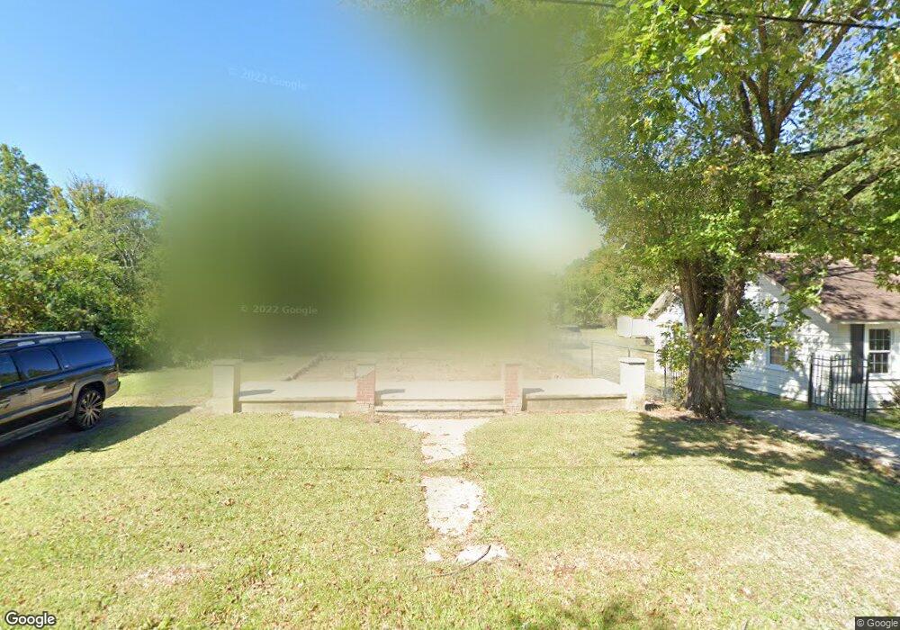
912 Carter St High Point, NC 27260
Greater High Point NeighborhoodEstimated Value: $137,015 - $176,000
2
Beds
1
Bath
1,226
Sq Ft
$127/Sq Ft
Est. Value
About This Home
This home is located at 912 Carter St, High Point, NC 27260 and is currently estimated at $155,754, approximately $127 per square foot. 912 Carter St is a home located in Guilford County with nearby schools including Triangle Lake Montessori School, Southwest Guilford Middle School, and Southwest Guilford High School.
Ownership History
Date
Name
Owned For
Owner Type
Purchase Details
Closed on
Dec 6, 2021
Sold by
Cobb Tiffany Ivana and Morgan Michael Anthony
Bought by
Moctezuma Xochitl and Perez Luis Angel
Current Estimated Value
Purchase Details
Closed on
May 27, 2009
Sold by
Jester Charles A and Jester Ella Jean
Bought by
Morgan James
Home Financials for this Owner
Home Financials are based on the most recent Mortgage that was taken out on this home.
Original Mortgage
$15,000
Interest Rate
4.81%
Mortgage Type
Seller Take Back
Create a Home Valuation Report for This Property
The Home Valuation Report is an in-depth analysis detailing your home's value as well as a comparison with similar homes in the area
Home Values in the Area
Average Home Value in this Area
Purchase History
| Date | Buyer | Sale Price | Title Company |
|---|---|---|---|
| Moctezuma Xochitl | $15,000 | None Available | |
| Morgan James | $15,000 | None Available |
Source: Public Records
Mortgage History
| Date | Status | Borrower | Loan Amount |
|---|---|---|---|
| Previous Owner | Morgan James | $15,000 |
Source: Public Records
Tax History
| Year | Tax Paid | Tax Assessment Tax Assessment Total Assessment is a certain percentage of the fair market value that is determined by local assessors to be the total taxable value of land and additions on the property. | Land | Improvement |
|---|---|---|---|---|
| 2025 | $110 | $8,000 | $8,000 | -- |
| 2024 | $110 | $8,000 | $8,000 | -- |
| 2023 | $110 | $8,000 | $8,000 | $19,500 |
| 2022 | $966 | $27,500 | $8,000 | $19,500 |
| 2021 | $196 | $14,200 | $5,000 | $9,200 |
| 2020 | $571 | $14,200 | $5,000 | $9,200 |
| 2019 | $2,295 | $14,200 | $0 | $0 |
| 2018 | $1,499 | $14,200 | $0 | $0 |
| 2017 | $4,801 | $14,200 | $0 | $0 |
| 2016 | $234 | $16,700 | $0 | $0 |
| 2015 | $235 | $16,700 | $0 | $0 |
| 2014 | $239 | $16,700 | $0 | $0 |
Source: Public Records
Map
Nearby Homes
- 1423 E Commerce Ave
- 1809 Franklin Ave
- 1110 Worth St
- 811 Worth St
- 1806 Franklin Ave
- 511 Hines St
- 1314 Franklin Ave
- 1601 E Green Dr
- 1908 Leonard Ave
- 1111 Winslow St
- 2317 Purdy Ave
- 430 New St
- 230 Windley St
- 505 Kent Ct
- 640 Wesley Dr
- 412 Meredith St
- 410 Meredith St
- 650 Wesley Dr
- 1224 S Downing St
- 1614 Oneka Ave
- 910 Carter St
- 1523 E Commerce Ave
- 908 Carter St
- 1518 Furlough Ave
- 1519 E Commerce Ave
- 906 Carter St
- 1516 Furlough Ave
- 1601 E Commerce Ave
- 913 Carter St
- 1517 E Commerce Ave
- 911 Carter St
- 904 Carter St
- 1515 E Commerce Ave
- 1605 E Commerce Ave
- 902 Carter St
- 1002 Carter St
- 905 Carter St
- 1513 E Commerce Ave
- 1510 Furlough Ave
- 1607 E Commerce Ave
Your Personal Tour Guide
Ask me questions while you tour the home.