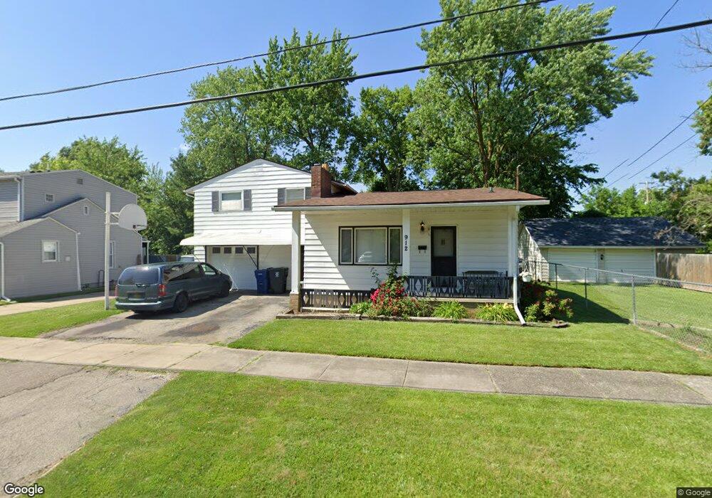
912 Crawford St Flint, MI 48507
South Side NeighborhoodEstimated Value: $75,000 - $95,000
4
Beds
2
Baths
1,605
Sq Ft
$52/Sq Ft
Est. Value
About This Home
This home is located at 912 Crawford St, Flint, MI 48507 and is currently estimated at $83,891, approximately $52 per square foot. 912 Crawford St is a home located in Genesee County with nearby schools including Neithercut Elementary School, Flint Southwestern Classical Academy, and International Academy of Flint (K-12).
Ownership History
Date
Name
Owned For
Owner Type
Purchase Details
Closed on
May 8, 2006
Sold by
Reiter Clyde S and Reiter Thelma Jean
Bought by
Reiter Michael
Current Estimated Value
Home Financials for this Owner
Home Financials are based on the most recent Mortgage that was taken out on this home.
Original Mortgage
$44,000
Outstanding Balance
$25,686
Interest Rate
6.54%
Mortgage Type
Fannie Mae Freddie Mac
Estimated Equity
$58,205
Create a Home Valuation Report for This Property
The Home Valuation Report is an in-depth analysis detailing your home's value as well as a comparison with similar homes in the area
Home Values in the Area
Average Home Value in this Area
Purchase History
| Date | Buyer | Sale Price | Title Company |
|---|---|---|---|
| Reiter Michael | $75,000 | Cislo Title Co |
Source: Public Records
Mortgage History
| Date | Status | Borrower | Loan Amount |
|---|---|---|---|
| Open | Reiter Michael | $44,000 |
Source: Public Records
Tax History
| Year | Tax Paid | Tax Assessment Tax Assessment Total Assessment is a certain percentage of the fair market value that is determined by local assessors to be the total taxable value of land and additions on the property. | Land | Improvement |
|---|---|---|---|---|
| 2025 | $1,121 | $25,900 | $0 | $0 |
| 2024 | $1,011 | $26,400 | $0 | $0 |
| 2023 | $990 | $21,400 | $0 | $0 |
| 2022 | $0 | $18,000 | $0 | $0 |
| 2021 | $1,032 | $16,100 | $0 | $0 |
| 2020 | $926 | $16,100 | $0 | $0 |
| 2019 | $900 | $15,900 | $0 | $0 |
| 2018 | $909 | $14,000 | $0 | $0 |
| 2017 | $883 | $0 | $0 | $0 |
| 2016 | $877 | $0 | $0 | $0 |
| 2015 | -- | $0 | $0 | $0 |
| 2014 | -- | $0 | $0 | $0 |
| 2012 | -- | $17,200 | $0 | $0 |
Source: Public Records
Map
Nearby Homes
- 3902 Brunswick Ave
- 845 Alvord Ave
- 912 Huron St
- 1028 Campbell St
- 1015 Alvord Ave
- 806 Alvord Ave
- 822 Campbell St
- 805 Alvord Ave
- 829 Clinton St
- 1130 W Atherton Rd
- 652 Crawford St
- 1234 Huron St
- 1122 Markham St
- 1210 Pinehurst Ave
- 1310 Huron St
- 825 Vermilya Ave
- 846 W Hemphill Rd
- 805 Vermilya Ave
- 1318 Ingleside Ave
- 1410 Berrywood Ln
- 920 Crawford St
- 4018 Brunswick Ave
- 924 Crawford St
- 911 Leland St
- 915 Leland St
- 4006 Brunswick Ave
- 928 Crawford St
- 925 Leland St
- 915 Crawford St
- 911 Crawford St
- 923 Crawford St
- 931 Leland St
- 936 Crawford St
- 901 Crawford St
- 862 Crawford St
- 4009 Brunswick Ave
- 3918 Brunswick Ave
- 4005 Brunswick Ave
- 916 Alvord Ave
- 858 Crawford St
Your Personal Tour Guide
Ask me questions while you tour the home.