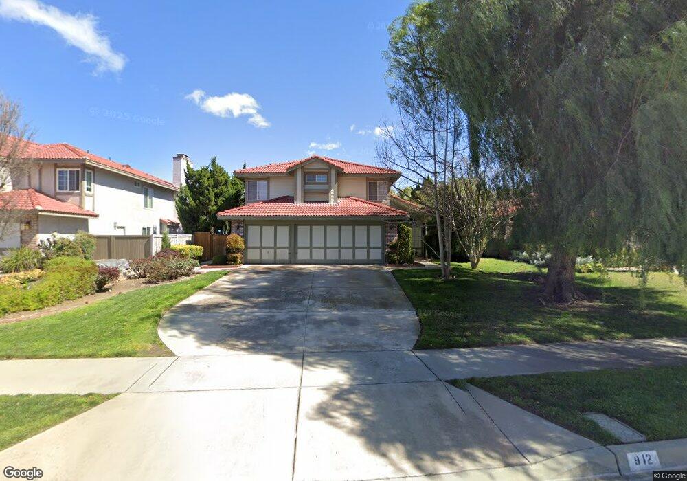
912 Knightsbridge Ln Redlands, CA 92374
North Redlands NeighborhoodEstimated Value: $665,237 - $731,000
4
Beds
3
Baths
2,099
Sq Ft
$335/Sq Ft
Est. Value
About This Home
This home is located at 912 Knightsbridge Ln, Redlands, CA 92374 and is currently estimated at $703,059, approximately $334 per square foot. 912 Knightsbridge Ln is a home located in San Bernardino County with nearby schools including Crafton Elementary School, Clement Middle School, and Redlands East Valley High School.
Ownership History
Date
Name
Owned For
Owner Type
Purchase Details
Closed on
Dec 11, 2002
Sold by
Watts Raymond W
Bought by
Watts Raymond W and Watts Judith M
Current Estimated Value
Purchase Details
Closed on
Oct 17, 2002
Sold by
Slater James B and Slater Barbara S
Bought by
Watts Raymond W
Purchase Details
Closed on
Jul 25, 1995
Sold by
Slater James Munro and Slater Mary Jo Ann
Bought by
Slater James B and Slater Barbara
Create a Home Valuation Report for This Property
The Home Valuation Report is an in-depth analysis detailing your home's value as well as a comparison with similar homes in the area
Home Values in the Area
Average Home Value in this Area
Purchase History
We collect this data history from publicly available records. To have your information removed, we recommend requesting removal directly through your county’s website.
| Date | Buyer | Sale Price | Title Company |
|---|---|---|---|
| Watts Raymond W | -- | Commonwealth Title | |
| Watts Raymond W | -- | Commonwealth Title | |
| Watts Raymond W | $265,000 | Commonwealth Title | |
| Slater James B | $100,000 | Commonwealth Land Title Co |
Source: Public Records
Tax History
| Year | Tax Paid | Tax Assessment Tax Assessment Total Assessment is a certain percentage of the fair market value that is determined by local assessors to be the total taxable value of land and additions on the property. | Land | Improvement |
|---|---|---|---|---|
| 2025 | $4,783 | $383,814 | $95,954 | $287,860 |
| 2024 | $4,466 | $376,289 | $94,073 | $282,216 |
| 2023 | $4,461 | $368,910 | $92,228 | $276,682 |
| 2022 | $4,396 | $361,677 | $90,420 | $271,257 |
| 2021 | $4,477 | $354,585 | $88,647 | $265,938 |
| 2020 | $4,410 | $350,949 | $87,738 | $263,211 |
| 2019 | $4,287 | $344,068 | $86,018 | $258,050 |
| 2018 | $4,180 | $337,321 | $84,331 | $252,990 |
| 2017 | $4,145 | $330,706 | $82,677 | $248,029 |
| 2016 | $4,098 | $324,222 | $81,056 | $243,166 |
| 2015 | $4,068 | $319,351 | $79,838 | $239,513 |
| 2014 | $3,994 | $313,095 | $78,274 | $234,821 |
Source: Public Records
Map
Nearby Homes
- 1058 Merced St
- 0 E Colton Ave
- 1721 E Colton Ave
- 1721 E Colton Ave Unit 69
- 1721 E Colton Ave Unit 33
- 1721 E Colton Ave Unit 50
- 1721 E Colton Ave Unit 115
- 1141 Via Antibes
- 626 N Dearborn St Unit 7
- 626 N Dearborn St Unit 17
- 626 N Dearborn St Unit 205
- 626 N Dearborn St Unit 61
- 1160 Via Ravenna
- 1129 Via Nice
- 1214 Country Place
- 325 Van Ness Ln
- 1502 Stillman Ave
- 608 Falcon Ln
- 313 Van Ness Ln
- 1444 Cambridge Ave
- 916 Knightsbridge Ln
- 908 Knightsbridge Ln
- 942 Knightsbridge Ln
- 938 Knightsbridge Ln
- 915 Kensington Dr
- 904 Knightsbridge Ln
- 1631 Waterford Ave
- 919 Kensington Dr
- 911 Kensington Dr
- 946 Knightsbridge Ln
- 1635 Waterford Ave
- 911 Knightsbridge Ln
- 915 Knightsbridge Ln
- 919 Knightsbridge Ln
- 950 Knightsbridge Ln
- 907 Kensington Dr
- 923 Knightsbridge Ln
- 939 Knightsbridge Ln
- 943 Knightsbridge Ln
- 1613 Waterford Ave
Your Personal Tour Guide
Ask me questions while you tour the home.