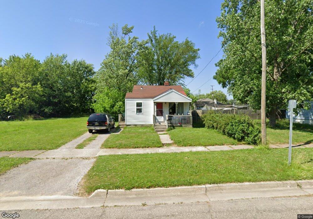
912 Leland St Flint, MI 48507
South Side NeighborhoodEstimated Value: $28,000 - $57,000
2
Beds
1
Bath
542
Sq Ft
$78/Sq Ft
Est. Value
About This Home
This home is located at 912 Leland St, Flint, MI 48507 and is currently estimated at $42,437, approximately $78 per square foot. 912 Leland St is a home located in Genesee County with nearby schools including Neithercut Elementary School, Flint Southwestern Classical Academy, and International Academy of Flint (K-12).
Ownership History
Date
Name
Owned For
Owner Type
Purchase Details
Closed on
Aug 19, 2010
Sold by
Hagon Debra
Bought by
Hagons Personal Real Estate Properties L
Current Estimated Value
Purchase Details
Closed on
Jun 20, 2003
Sold by
Mckee Charles L and Mckee Arena D
Bought by
Mckee Anthony and Mckee Roxanne
Purchase Details
Closed on
Jun 2, 2003
Sold by
A R C H Properties Llc
Bought by
Hagon Debra
Purchase Details
Closed on
Mar 8, 2002
Sold by
Mckee Anthony and Mckee Roxanne
Bought by
A R C H Properties Llc
Purchase Details
Closed on
Jan 18, 2000
Sold by
A D Mckee Rev Tr
Bought by
Charles L & Arena D Mckee Revocable Livi
Create a Home Valuation Report for This Property
The Home Valuation Report is an in-depth analysis detailing your home's value as well as a comparison with similar homes in the area
Home Values in the Area
Average Home Value in this Area
Purchase History
| Date | Buyer | Sale Price | Title Company |
|---|---|---|---|
| Hagons Personal Real Estate Properties L | -- | None Available | |
| Mckee Anthony | -- | First American Title | |
| Hagon Debra | $16,500 | First American Title | |
| A R C H Properties Llc | -- | First American Title Ins Co | |
| Charles L & Arena D Mckee Revocable Livi | -- | -- | |
| Charles L & Arena D Mckee Revocable Livi | -- | -- |
Source: Public Records
Tax History Compared to Growth
Tax History
| Year | Tax Paid | Tax Assessment Tax Assessment Total Assessment is a certain percentage of the fair market value that is determined by local assessors to be the total taxable value of land and additions on the property. | Land | Improvement |
|---|---|---|---|---|
| 2025 | $696 | $9,300 | $0 | $0 |
| 2024 | $655 | $9,600 | $0 | $0 |
| 2023 | $648 | $7,600 | $0 | $0 |
| 2022 | $0 | $7,200 | $0 | $0 |
| 2021 | $652 | $6,600 | $0 | $0 |
| 2020 | $610 | $6,600 | $0 | $0 |
| 2019 | $604 | $6,600 | $0 | $0 |
| 2018 | $571 | $5,400 | $0 | $0 |
| 2017 | $559 | $0 | $0 | $0 |
| 2016 | $556 | $0 | $0 | $0 |
| 2015 | -- | $0 | $0 | $0 |
| 2014 | -- | $0 | $0 | $0 |
| 2012 | -- | $6,400 | $0 | $0 |
Source: Public Records
Map
Nearby Homes
- 845 Alvord Ave
- 818 Alvord Ave
- 822 Campbell St
- 1028 Campbell St
- 805 Alvord Ave
- 829 Clinton St
- 1015 Alvord Ave
- 4418 Brunswick Ave
- 738 W Atherton Rd
- 1130 W Atherton Rd
- 727 Waldman Ave
- 1212 Crawford St
- 1031 Ingleside Ave
- 936 Lincoln Ave
- 647 Crawford St
- 1228 Leland St
- 825 Vermilya Ave
- 805 Vermilya Ave
- 652 Huron St
- 1234 Huron St
- 916 Leland St
- 920 Leland St
- 3918 Brunswick Ave
- 3906 Brunswick Ave
- 915 Campbell St
- 3902 Brunswick Ave
- 923 Campbell St
- 911 Leland St
- 915 Leland St
- 932 Leland St
- 4006 Brunswick Ave
- 927 Campbell St Unit Bldg-Unit
- 927 Campbell St
- 939 Campbell St
- 925 Leland St
- 936 Leland St Unit Bldg-Unit
- 936 Leland St
- 3913 Brunswick Ave
- 858 Leland St
- 3909 Brunswick Ave