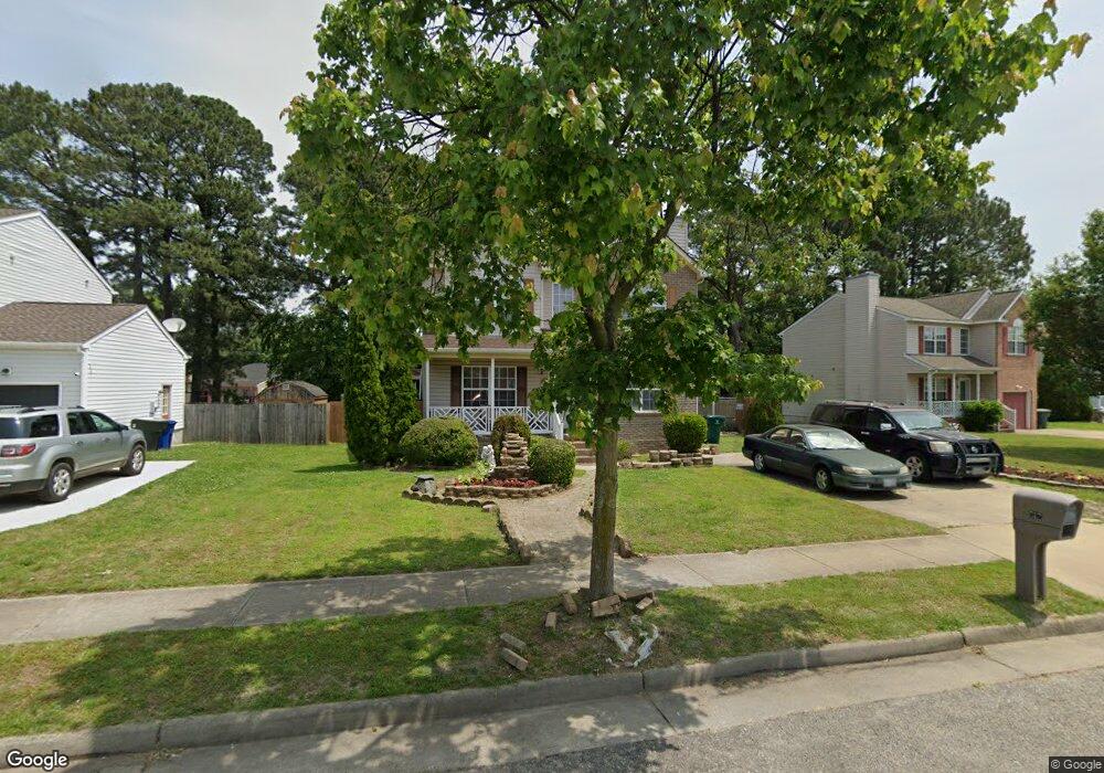
912 Monitor Ct Newport News, VA 23605
Chestnut NeighborhoodEstimated Value: $324,421 - $350,000
4
Beds
3
Baths
1,740
Sq Ft
$195/Sq Ft
Est. Value
About This Home
This home is located at 912 Monitor Ct, Newport News, VA 23605 and is currently estimated at $339,355, approximately $195 per square foot. 912 Monitor Ct is a home located in Newport News City with nearby schools including Carver Elementary School, Crittenden Middle School, and Heritage High School.
Ownership History
Date
Name
Owned For
Owner Type
Purchase Details
Closed on
Nov 6, 2000
Sold by
Villages Of Newport L L C
Bought by
Gabriel Enterprises Inc and Mason,Gloria V
Current Estimated Value
Home Financials for this Owner
Home Financials are based on the most recent Mortgage that was taken out on this home.
Original Mortgage
$123,450
Outstanding Balance
$45,099
Interest Rate
7.76%
Mortgage Type
Purchase Money Mortgage
Estimated Equity
$294,256
Create a Home Valuation Report for This Property
The Home Valuation Report is an in-depth analysis detailing your home's value as well as a comparison with similar homes in the area
Home Values in the Area
Average Home Value in this Area
Purchase History
| Date | Buyer | Sale Price | Title Company |
|---|---|---|---|
| Gabriel Enterprises Inc | $129,950 | -- |
Source: Public Records
Mortgage History
| Date | Status | Borrower | Loan Amount |
|---|---|---|---|
| Open | Gabriel Enterprises Inc | $123,450 |
Source: Public Records
Tax History Compared to Growth
Tax History
| Year | Tax Paid | Tax Assessment Tax Assessment Total Assessment is a certain percentage of the fair market value that is determined by local assessors to be the total taxable value of land and additions on the property. | Land | Improvement |
|---|---|---|---|---|
| 2024 | $3,416 | $289,500 | $62,600 | $226,900 |
| 2023 | $3,436 | $278,700 | $62,600 | $216,100 |
| 2022 | $3,263 | $259,700 | $56,900 | $202,800 |
| 2021 | $2,612 | $214,100 | $49,500 | $164,600 |
| 2020 | $2,571 | $198,700 | $45,000 | $153,700 |
| 2019 | $2,566 | $198,700 | $45,000 | $153,700 |
| 2018 | $2,474 | $191,400 | $45,000 | $146,400 |
| 2017 | $2,389 | $184,400 | $45,000 | $139,400 |
| 2016 | $2,385 | $184,400 | $45,000 | $139,400 |
| 2015 | $2,379 | $184,400 | $45,000 | $139,400 |
| 2014 | $2,142 | $184,400 | $45,000 | $139,400 |
Source: Public Records
Map
Nearby Homes
- 219 Martha Lee Dr
- 1320 76th St
- 1207 77th St
- 242 Bannon Ct
- 1200 79th St
- 4100 Candlewood Dr
- 4122 Candlewood Dr
- 1126 79th St
- 7288 Abraham Ct
- 3404 Hardee Ct
- 1111 76th St
- 1111 79th St
- 131 Big Bethel Rd
- 309 Sourwood Dr
- 212 Breckinridge Ct
- 3321 Candlewood Dr
- 1103 Elizabeth Ct
- 909 74th St
- 6400 Roanoke Ave
- 223 Woodbury Forrest Dr
- 914 Monitor Ct
- 910 Monitor Ct
- 215 Martha Lee Dr
- 908 Monitor Ct
- 213 Martha Lee Dr
- 217 Martha Lee Dr
- 916 Monitor Ct
- LOT 73 Monitor Ct
- 211 Martha Lee Dr
- 913 Monitor Ct
- 911 Monitor Ct
- 906 Monitor Ct
- 915 Monitor Ct
- 918 Monitor Ct
- 909 Monitor Ct
- 221 Martha Lee Dr
- 209 Martha Lee Dr
- 920 Monitor Ct
- 917 Monitor Ct
- 907 Monitor Ct