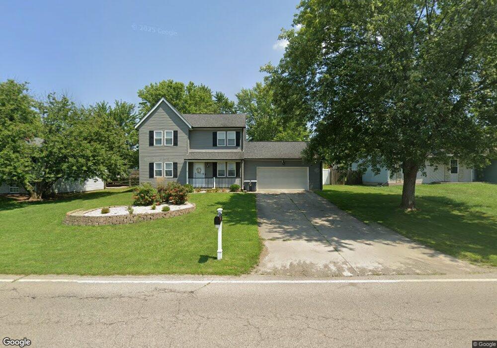
912 S Main St Monroe, OH 45050
Estimated Value: $247,000 - $318,000
3
Beds
3
Baths
1,580
Sq Ft
$183/Sq Ft
Est. Value
About This Home
This home is located at 912 S Main St, Monroe, OH 45050 and is currently estimated at $288,356, approximately $182 per square foot. 912 S Main St is a home located in Butler County with nearby schools including Independence Elementary School, Liberty Junior School, and Lakota East High School.
Ownership History
Date
Name
Owned For
Owner Type
Purchase Details
Closed on
Jul 27, 1999
Sold by
Gehr William Mason
Bought by
Baker David and Baker Sara J
Current Estimated Value
Home Financials for this Owner
Home Financials are based on the most recent Mortgage that was taken out on this home.
Original Mortgage
$82,125
Outstanding Balance
$23,821
Interest Rate
7.77%
Mortgage Type
Stand Alone Second
Estimated Equity
$264,535
Purchase Details
Closed on
Aug 1, 1990
Purchase Details
Closed on
Dec 1, 1989
Purchase Details
Closed on
Jun 1, 1988
Create a Home Valuation Report for This Property
The Home Valuation Report is an in-depth analysis detailing your home's value as well as a comparison with similar homes in the area
Home Values in the Area
Average Home Value in this Area
Purchase History
| Date | Buyer | Sale Price | Title Company |
|---|---|---|---|
| Baker David | $109,500 | -- | |
| -- | $80,900 | -- | |
| -- | $39,900 | -- | |
| -- | $12,500 | -- |
Source: Public Records
Mortgage History
| Date | Status | Borrower | Loan Amount |
|---|---|---|---|
| Open | Baker David | $82,125 | |
| Closed | Baker David | $27,375 |
Source: Public Records
Tax History Compared to Growth
Tax History
| Year | Tax Paid | Tax Assessment Tax Assessment Total Assessment is a certain percentage of the fair market value that is determined by local assessors to be the total taxable value of land and additions on the property. | Land | Improvement |
|---|---|---|---|---|
| 2024 | $2,563 | $74,580 | $10,300 | $64,280 |
| 2023 | $2,546 | $77,750 | $10,300 | $67,450 |
| 2022 | $2,335 | $54,410 | $10,300 | $44,110 |
| 2021 | $2,320 | $54,410 | $10,300 | $44,110 |
| 2020 | $2,387 | $54,410 | $10,300 | $44,110 |
| 2019 | $3,957 | $44,050 | $11,350 | $32,700 |
| 2018 | $2,163 | $44,050 | $11,350 | $32,700 |
| 2017 | $2,208 | $44,050 | $11,350 | $32,700 |
| 2016 | $2,062 | $38,760 | $11,350 | $27,410 |
| 2015 | $2,065 | $38,760 | $11,350 | $27,410 |
| 2014 | $2,470 | $38,760 | $11,350 | $27,410 |
| 2013 | $2,470 | $44,780 | $9,870 | $34,910 |
Source: Public Records
Map
Nearby Homes
- 20 Stillpass Way
- 7498 Cherokee Ln
- 781 S Main St
- 7820 Paradise Cove
- 160 Gorman Ct
- 130 Lee Ct
- 5170 Oak Forest Dr
- 5169 Oak Forest Dr
- 157 Lena Dr
- 7574 Woodmere Ct
- 5326 Elmwood Ln
- 129 Lewitt Ct
- 7608 Kyles Station Rd Unit 1
- 201 Moder Dr
- 7542 Hickory Knoll Dr
- 230 Bridle Pass Way
- 111 Lynette Ct
- 857 Hocking Meadow Cir
- 254 Mason Ave
- 5019 Yankee Rd
- 0 Cincinnati Dayton Rd
- 916 S Main St
- 908 S Main St
- 913 Trails End Dr
- 909 Trails End Dr
- 905 Trails End Dr
- 5 Stillpass Way
- 912 Trails End Dr
- 901 Trails End Dr
- 904 Trails End Dr
- 908 Trails End Dr
- 910 Trails End Dr
- 4935 Cincinnati Dayton Rd
- 55 Stillpass Way
- 4936 Cincinnati Dayton Rd
- 10 Stillpass Way
- 65 Stillpass Way
- 892 S Main St
- 892AC Cincinnati Dayton Rd
- 893 Trails End Dr