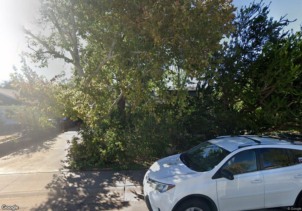
912 S Wilson St Tempe, AZ 85281
Mitchell Park East NeighborhoodEstimated Value: $420,000 - $508,000
--
Bed
1
Bath
952
Sq Ft
$489/Sq Ft
Est. Value
About This Home
This home is located at 912 S Wilson St, Tempe, AZ 85281 and is currently estimated at $465,271, approximately $488 per square foot. 912 S Wilson St is a home located in Maricopa County with nearby schools including Geneva Epps Mosley Middle School, Tempe High School, and New School for the Arts & Academics.
Ownership History
Date
Name
Owned For
Owner Type
Purchase Details
Closed on
Dec 28, 2001
Sold by
Baker Burton T
Bought by
Baker Burton T and Baker Ying
Current Estimated Value
Purchase Details
Closed on
Mar 24, 1998
Sold by
Arrington Frances Gloria
Bought by
Baker Burton T
Purchase Details
Closed on
Feb 9, 1998
Sold by
Zhang Huiying
Bought by
Baker Burton T
Create a Home Valuation Report for This Property
The Home Valuation Report is an in-depth analysis detailing your home's value as well as a comparison with similar homes in the area
Home Values in the Area
Average Home Value in this Area
Purchase History
| Date | Buyer | Sale Price | Title Company |
|---|---|---|---|
| Baker Burton T | -- | None Available | |
| Baker Burton T | $85,000 | Ati Title Agency Of Arizona | |
| Arrington Frances Gloria | -- | Ati Title Agency Of Arizona | |
| Baker Burton T | -- | Ati Title Agency Of Arizona |
Source: Public Records
Tax History Compared to Growth
Tax History
| Year | Tax Paid | Tax Assessment Tax Assessment Total Assessment is a certain percentage of the fair market value that is determined by local assessors to be the total taxable value of land and additions on the property. | Land | Improvement |
|---|---|---|---|---|
| 2025 | $2,187 | $18,249 | -- | -- |
| 2024 | $2,020 | $17,380 | -- | -- |
| 2023 | $2,020 | $36,860 | $7,370 | $29,490 |
| 2022 | $1,937 | $30,630 | $6,120 | $24,510 |
| 2021 | $1,951 | $28,220 | $5,640 | $22,580 |
| 2020 | $1,891 | $24,760 | $4,950 | $19,810 |
| 2019 | $1,856 | $19,370 | $3,870 | $15,500 |
| 2018 | $1,810 | $18,230 | $3,640 | $14,590 |
| 2017 | $1,756 | $15,380 | $3,070 | $12,310 |
| 2016 | $1,743 | $15,180 | $3,030 | $12,150 |
| 2015 | $1,674 | $13,810 | $2,760 | $11,050 |
Source: Public Records
Map
Nearby Homes
- 942 S Ash Ave Unit 103
- 522 W Howe St
- 626 S Wilson St
- 700 W University Dr Unit 122
- 700 W University Dr Unit 253
- 1101 S Farmer Ave
- 620 W Howe St
- 117 W 10th St
- 606 S Wilson St
- 421 W 6th St Unit 1003
- 505 W 6th St
- 548 S Wilson St Unit 104
- 1218 S Farmer Ave
- 1234 S Farmer Ave
- 1190 S Maple Ave Unit 1
- 538 W 13th St
- 538 W 13th St Unit A
- 1224 S Maple Ave
- 512 W Brown St
- 516 W Brown St
- 912 S Wilson St
- 916 S Wilson St
- 904 S Wilson St
- 920 S Wilson St
- 920 S Wilson St Unit rear
- 915 S Roosevelt St
- 924 S Wilson St
- 900 S Wilson St
- 507 W 9th St
- 913 S Roosevelt St
- 926 S Wilson St
- 917 S Roosevelt St
- 909 S Roosevelt St
- 909 S Wilson St
- 921 S Roosevelt St
- 905 S Roosevelt St
- 911 S Wilson St Unit 1
- 911 S Wilson St Unit 2
- 911 S Wilson St
- 905 S Wilson St