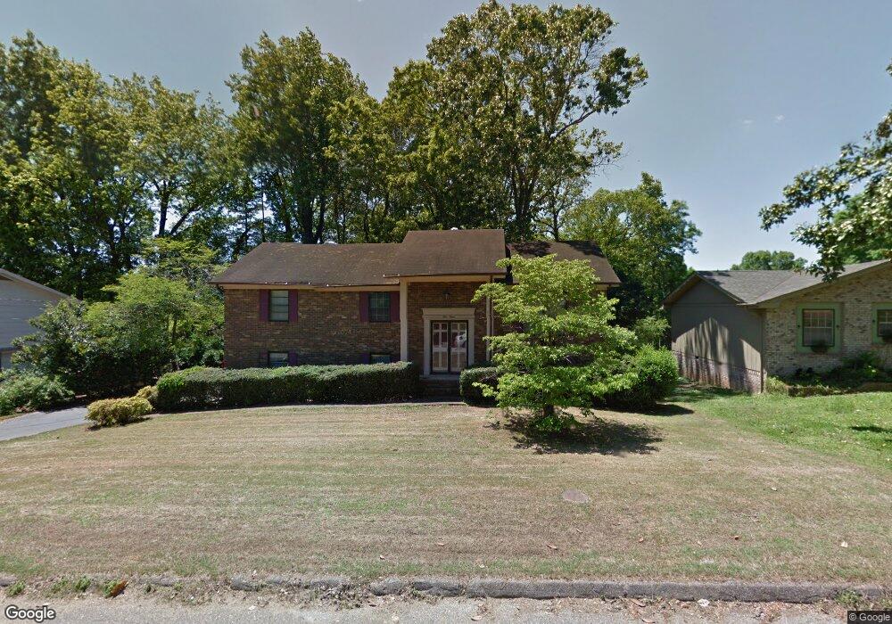
912 Wesley Dr Hixson, TN 37343
Estimated Value: $289,000 - $373,000
4
Beds
3
Baths
2,292
Sq Ft
$145/Sq Ft
Est. Value
About This Home
This home is located at 912 Wesley Dr, Hixson, TN 37343 and is currently estimated at $332,057, approximately $144 per square foot. 912 Wesley Dr is a home located in Hamilton County with nearby schools including Ganns Middle Valley Elementary School, Hixson Middle School, and Hixson High School.
Ownership History
Date
Name
Owned For
Owner Type
Purchase Details
Closed on
Apr 24, 2007
Sold by
Mansholt Susan A
Bought by
Mansholt Darrell J
Current Estimated Value
Purchase Details
Closed on
Apr 17, 2003
Sold by
Penland Jack E
Bought by
Mansholt Darrel J and Mansholt Susan A
Home Financials for this Owner
Home Financials are based on the most recent Mortgage that was taken out on this home.
Original Mortgage
$100,000
Interest Rate
5.6%
Mortgage Type
Purchase Money Mortgage
Create a Home Valuation Report for This Property
The Home Valuation Report is an in-depth analysis detailing your home's value as well as a comparison with similar homes in the area
Home Values in the Area
Average Home Value in this Area
Purchase History
| Date | Buyer | Sale Price | Title Company |
|---|---|---|---|
| Mansholt Darrell J | -- | None Available | |
| Mansholt Darrel J | $125,000 | Chattanooga Title |
Source: Public Records
Mortgage History
| Date | Status | Borrower | Loan Amount |
|---|---|---|---|
| Previous Owner | Mansholt Darrel J | $100,000 | |
| Closed | Mansholt Darrel J | $25,000 |
Source: Public Records
Tax History Compared to Growth
Tax History
| Year | Tax Paid | Tax Assessment Tax Assessment Total Assessment is a certain percentage of the fair market value that is determined by local assessors to be the total taxable value of land and additions on the property. | Land | Improvement |
|---|---|---|---|---|
| 2024 | $963 | $43,050 | $0 | $0 |
| 2023 | $963 | $43,050 | $0 | $0 |
| 2022 | $972 | $43,050 | $0 | $0 |
| 2021 | $972 | $43,050 | $0 | $0 |
| 2020 | $919 | $32,900 | $0 | $0 |
| 2019 | $919 | $32,900 | $0 | $0 |
| 2018 | $919 | $32,900 | $0 | $0 |
| 2017 | $919 | $32,900 | $0 | $0 |
| 2016 | $908 | $0 | $0 | $0 |
| 2015 | $908 | $32,525 | $0 | $0 |
| 2014 | $908 | $0 | $0 | $0 |
Source: Public Records
Map
Nearby Homes
- 1303 Neyland Cir
- 6506 Middle Valley Rd
- 1046 Omaha Cir
- 8665 Reba Ln
- 920 Carrie Ln
- 7770 Lenox Trace Dr
- 450 Shannon Dr
- 7812 Huntington Forest Dr
- 2012 S Gold Point Cir
- 8692 Arbutus Dr
- 1917 Chadwick Ct
- 974 Bluff Ledge Trail
- 7626 Wynhill Ln
- 8706 Arbutus Dr
- 999 Wyndsor Dr
- 420 Shannon Dr
- 6213 Musket Ln
- 1695 E Boy Scout Rd
- 1155 S Crestfield Ln
- 7217 Fairington Cir
- 914 Wesley Dr
- 910 Wesley Dr
- 915 Spurling Dr
- 917 Spurling Dr
- 911 Spurling Dr
- 918 Wesley Dr
- 913 Wesley Dr
- 906 Wesley Dr
- 911 Wesley Dr
- 919 Spurling Dr
- 915 Wesley Dr
- 907 Wesley Dr
- 909 Spurling Dr
- 920 Wesley Dr
- 921 Spurling Dr
- 919 Wesley Dr
- 914 Spurling Dr
- 905 Wesley Dr
- 916 Spurling Dr
- 0 Spurling Dr Unit 1305662