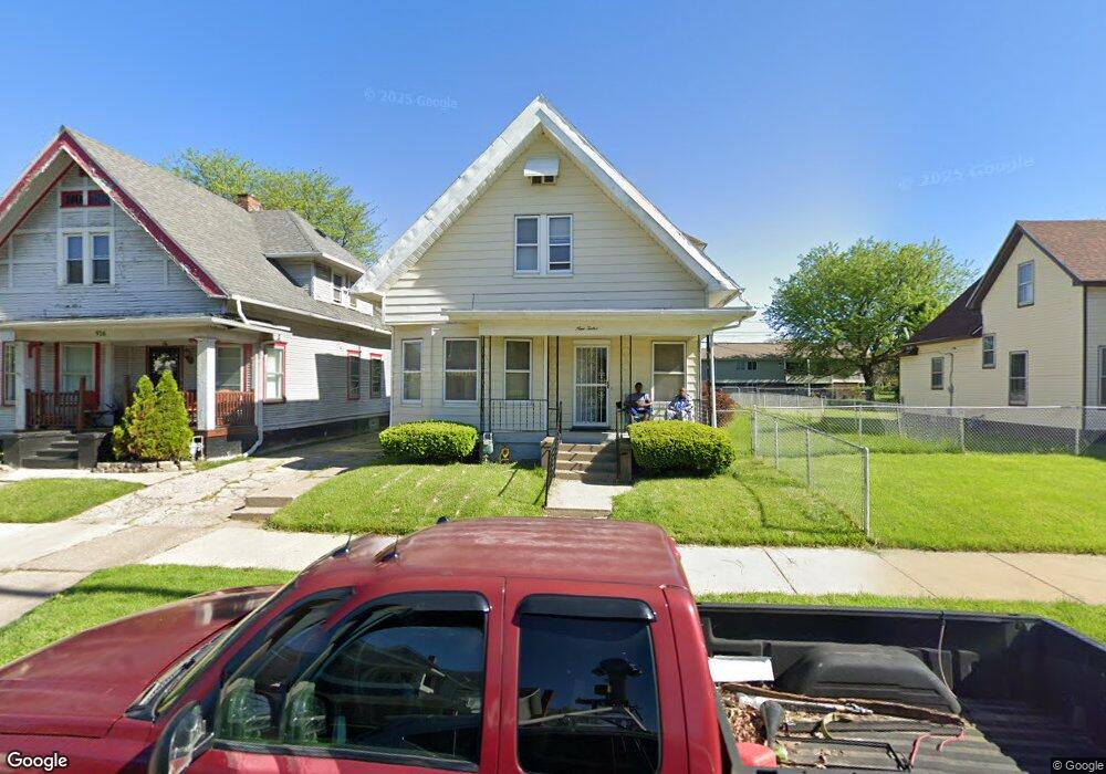
912 Woodland Ave Toledo, OH 43607
ONYX NeighborhoodEstimated Value: $26,000 - $90,000
3
Beds
2
Baths
1,858
Sq Ft
$30/Sq Ft
Est. Value
About This Home
This home is located at 912 Woodland Ave, Toledo, OH 43607 and is currently estimated at $55,950, approximately $30 per square foot. 912 Woodland Ave is a home located in Lucas County with nearby schools including Pickett Elementary School, Jesup W. Scott High School, and Madison Avenue School Of Arts.
Ownership History
Date
Name
Owned For
Owner Type
Purchase Details
Closed on
May 9, 2025
Sold by
Boles Linda Armstrong
Bought by
Terry Luther
Current Estimated Value
Purchase Details
Closed on
Nov 4, 2021
Sold by
Capps Meredith
Bought by
Armstrong Boles Linda
Purchase Details
Closed on
Sep 7, 2004
Sold by
Taylor Mary Lynn
Bought by
Capps Meredith and Boles Linda Armstrong
Purchase Details
Closed on
Dec 9, 1999
Sold by
The City Of Toledo
Bought by
Taylor Mary Lynn
Purchase Details
Closed on
Sep 1, 1992
Sold by
Hunt Nina M
Create a Home Valuation Report for This Property
The Home Valuation Report is an in-depth analysis detailing your home's value as well as a comparison with similar homes in the area
Home Values in the Area
Average Home Value in this Area
Purchase History
| Date | Buyer | Sale Price | Title Company |
|---|---|---|---|
| Terry Luther | $25,000 | None Listed On Document | |
| Armstrong Boles Linda | $300 | None Available | |
| Capps Meredith | -- | -- | |
| Taylor Mary Lynn | -- | -- | |
| -- | $20,000 | -- |
Source: Public Records
Tax History Compared to Growth
Tax History
| Year | Tax Paid | Tax Assessment Tax Assessment Total Assessment is a certain percentage of the fair market value that is determined by local assessors to be the total taxable value of land and additions on the property. | Land | Improvement |
|---|---|---|---|---|
| 2024 | $501 | $14,105 | $1,785 | $12,320 |
| 2023 | $788 | $10,115 | $1,785 | $8,330 |
| 2022 | $776 | $10,115 | $1,785 | $8,330 |
| 2021 | $787 | $10,115 | $1,785 | $8,330 |
| 2020 | $825 | $9,275 | $1,715 | $7,560 |
| 2019 | $808 | $9,275 | $1,715 | $7,560 |
| 2018 | $808 | $9,275 | $1,715 | $7,560 |
| 2017 | $803 | $8,855 | $1,715 | $7,140 |
| 2016 | $814 | $25,300 | $4,900 | $20,400 |
| 2015 | $809 | $25,300 | $4,900 | $20,400 |
| 2014 | $557 | $8,860 | $1,720 | $7,140 |
| 2013 | $557 | $8,860 | $1,720 | $7,140 |
Source: Public Records
Map
Nearby Homes
- 927 Norwood Ave
- 929 Norwood Ave
- 820 N Miller St
- 1063 Norwood Ave
- 842 Lincoln Ave
- 918 Lincoln Ave
- 910 Blum St
- 1133 Blum St
- 1264 Fernwood Ave
- 1081 W Woodruff Ave
- 1222 Lincoln Ave
- 1078 W Woodruff Ave
- 1155 W Woodruff Ave
- 1157 W Woodruff Ave
- 1163 W Woodruff Ave
- 2045 Robinwood Ave
- 1123 Hamilton St
- 1255 Nebraska Ave
- 1267 Nebraska Ave
- 1401 Foster Ave
- 916 Woodland Ave
- 902 Woodland Ave
- 918 Woodland Ave
- 852 Woodland Ave
- 924 Woodland Ave
- 846 Woodland Ave
- 846 Woodland Ave
- 907 Woodland Ave
- 909 Woodland Ave
- 930 Woodland Ave
- 911 Woodland Ave
- 844 Woodland Ave
- 913 Woodland Ave
- 903 Woodland Ave
- 901 Woodland Ave
- 921 Woodland Ave
- 934 Woodland Ave
- 840 Woodland Ave
- 925 Woodland Ave
- 836 Woodland Ave