9120 Bozman Neavitt Rd Saint Michaels, MD 21663
Estimated Value: $1,945,000 - $2,643,727
--
Bed
4
Baths
3,500
Sq Ft
$656/Sq Ft
Est. Value
About This Home
This home is located at 9120 Bozman Neavitt Rd, Saint Michaels, MD 21663 and is currently estimated at $2,294,364, approximately $655 per square foot. 9120 Bozman Neavitt Rd is a home located in Talbot County with nearby schools including St. Michaels Elementary School, St. Michaels Middle/High School, and Easton High School.
Ownership History
Date
Name
Owned For
Owner Type
Purchase Details
Closed on
Feb 11, 2000
Sold by
Moorman Mark D
Bought by
Moorman Mark D and Moorman Camile W
Current Estimated Value
Purchase Details
Closed on
Nov 17, 1998
Sold by
Gradisar Lynne R
Bought by
Moorman Mark D
Purchase Details
Closed on
Dec 29, 1992
Sold by
West Sherwood Farms, Inc.
Bought by
Gradisar Lynne R
Create a Home Valuation Report for This Property
The Home Valuation Report is an in-depth analysis detailing your home's value as well as a comparison with similar homes in the area
Home Values in the Area
Average Home Value in this Area
Purchase History
| Date | Buyer | Sale Price | Title Company |
|---|---|---|---|
| Moorman Mark D | -- | -- | |
| Moorman Mark D | $322,800 | -- | |
| Gradisar Lynne R | $270,000 | -- |
Source: Public Records
Tax History Compared to Growth
Tax History
| Year | Tax Paid | Tax Assessment Tax Assessment Total Assessment is a certain percentage of the fair market value that is determined by local assessors to be the total taxable value of land and additions on the property. | Land | Improvement |
|---|---|---|---|---|
| 2025 | $13,502 | $1,801,300 | $1,235,500 | $565,800 |
| 2024 | $13,502 | $1,731,533 | $0 | $0 |
| 2023 | $12,780 | $1,661,767 | $0 | $0 |
| 2022 | $11,759 | $1,592,000 | $1,173,900 | $418,100 |
| 2021 | $22,805 | $1,550,933 | $0 | $0 |
| 2020 | $11,016 | $1,509,867 | $0 | $0 |
| 2019 | $10,971 | $1,468,800 | $1,077,500 | $391,300 |
| 2018 | $10,518 | $1,468,800 | $1,077,500 | $391,300 |
| 2017 | $12,046 | $1,468,800 | $0 | $0 |
| 2016 | $11,746 | $1,818,500 | $0 | $0 |
| 2015 | $11,655 | $1,818,500 | $0 | $0 |
| 2014 | $11,655 | $1,818,500 | $0 | $0 |
Source: Public Records
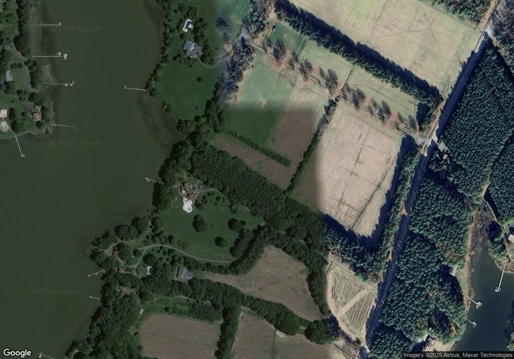
Map
Nearby Homes
- 0 Bozman Neavitt Rd Unit MDTA2011976
- 9262 Macks Ln
- 8620 Bozman Neavitt Rd
- 9681 Macks Ln
- 24362 Widgeon Place Unit 4
- 9791 Pintail Place
- 24420 Mallard Place
- 9235 Martingham Dr
- 00 New Rd
- 9539 Quail Hollow Dr Unit 303
- 9171 Deepwater Point Rd
- 8698 Cummings Rd
- 216 Brooks Ln
- 24560 Deepwater Point Dr Unit 1
- 22381 Cooper Ln
- 300 Perry St
- 23869 New Land Dr
- 22349 Cooper Ln
- 207 Dodson Ave
- 408 Spinnaker Ln
- 9062 Bozman Neavitt Rd
- 9062 Bozman Neavitt Rd
- 9201 Mallard Point Ct
- 9235 Mallard Point Ct
- 9209 Mallard Point Ct
- 9223 Mallard Point Ct
- 9239 Mallard Point Ct
- 9193 Mallard Point Ct
- 9245 Mallard Point Ct
- 9220 Bozman Neavitt Rd
- 9060 Bozman Neavitt Rd
- 9247 Mallard Point Ct
- 23338 Mallard Point Ln
- 9020 Bozman Neavitt Rd
- 9251 Mallard Point Ct
- 9155 Mallard Point Ct
- 9259 Mallard Point Ct
- 9149 Mallard Point Ct
- 9103 Mallard Point Ct
- 9269 Mallard Point Ct