9120 W Broad St Unit L-40 Galloway, OH 43119
Estimated Value: $119,000 - $335,000
2
Beds
1
Bath
1,592
Sq Ft
$154/Sq Ft
Est. Value
About This Home
This home is located at 9120 W Broad St Unit L-40, Galloway, OH 43119 and is currently estimated at $245,299, approximately $154 per square foot. 9120 W Broad St Unit L-40 is a home located in Madison County with nearby schools including Norwood Elementary School, West Jefferson Middle School, and West Jefferson High School.
Ownership History
Date
Name
Owned For
Owner Type
Purchase Details
Closed on
Jun 14, 2024
Sold by
Rits Sergiy
Bought by
Caldwell Dina and Caldwell Joshua
Current Estimated Value
Purchase Details
Closed on
Apr 18, 2017
Sold by
Fannie Mae
Bought by
Rits Sergiy
Purchase Details
Closed on
Sep 27, 2016
Sold by
Dillon Dana H
Bought by
Federal National Mortgage Association
Purchase Details
Closed on
Sep 15, 2004
Sold by
Dillon David W and Dillon Dana H
Bought by
Dillon David W and Dillon Dana H
Home Financials for this Owner
Home Financials are based on the most recent Mortgage that was taken out on this home.
Original Mortgage
$166,250
Interest Rate
6.75%
Mortgage Type
Purchase Money Mortgage
Create a Home Valuation Report for This Property
The Home Valuation Report is an in-depth analysis detailing your home's value as well as a comparison with similar homes in the area
Home Values in the Area
Average Home Value in this Area
Purchase History
| Date | Buyer | Sale Price | Title Company |
|---|---|---|---|
| Caldwell Dina | $275,000 | None Listed On Document | |
| Rits Sergiy | -- | Ohio Title Corp | |
| Federal National Mortgage Association | $82,000 | Attorney | |
| Dillon David W | -- | -- |
Source: Public Records
Mortgage History
| Date | Status | Borrower | Loan Amount |
|---|---|---|---|
| Previous Owner | Dillon David W | $166,250 |
Source: Public Records
Tax History Compared to Growth
Tax History
| Year | Tax Paid | Tax Assessment Tax Assessment Total Assessment is a certain percentage of the fair market value that is determined by local assessors to be the total taxable value of land and additions on the property. | Land | Improvement |
|---|---|---|---|---|
| 2024 | $1,681 | $37,220 | $14,250 | $22,970 |
| 2023 | $1,681 | $36,990 | $14,250 | $22,740 |
| 2022 | $1,317 | $27,720 | $10,490 | $17,230 |
| 2021 | $1,322 | $27,720 | $10,490 | $17,230 |
| 2020 | $1,346 | $27,720 | $10,490 | $17,230 |
| 2019 | $2,096 | $42,530 | $13,950 | $28,580 |
| 2018 | $2,375 | $50,420 | $13,950 | $36,470 |
| 2017 | $2,380 | $50,420 | $13,950 | $36,470 |
| 2016 | $1,734 | $45,780 | $13,950 | $31,830 |
| 2015 | $1,734 | $45,780 | $13,950 | $31,830 |
| 2014 | $1,809 | $45,780 | $13,950 | $31,830 |
| 2013 | -- | $50,170 | $11,630 | $38,540 |
Source: Public Records
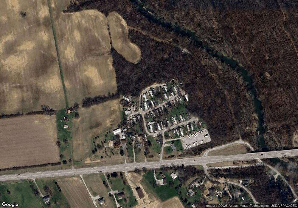
Map
Nearby Homes
- 70 Riverside Dr
- 287 Greenlake St
- 8595 Abbot Cove Ave
- 10763 Southwood Rd
- 8626 Fairbrook Ave
- 8482 Dover Crest Ct
- 270 State Route 142 NE
- 360 State Route 142 NE
- 8527 Carbine Place
- 8654 Cadet Dr N
- 8421 Union Dr
- 8528 Cadence Dr
- 8520 Cadence Dr
- 545 Trillium Dr
- 74 S Chester St
- 63 Jones St
- 8333 Squad Dr
- 430 Trillium Dr
- 312 Larkspur Dr
- 435 Trillium Dr
- 9120 W Broad St
- 9120 W Broad St Unit Lot 32
- 9120 W Broad St Unit L3
- 9120 W Broad St Unit Lot55
- 9120 W Broad St Unit L-26
- 9120 W Broad St Unit LOT5
- 9120 W Broad St Unit L-56
- 9120 W Broad St Unit L-61
- 9120 W Broad St Unit 6
- 9120 W Broad St Unit 11
- 9120 W Broad St Unit LOT6
- 9120 W Broad St Unit 4
- 9120 W Broad St Unit Lot 27
- 9120 W Broad St Unit Lot 2
- 9120 W Broad St Unit Lot 48
- 8925 W Broad St
- 9152 W Broad St Unit 9154
- 9120 W Broad St
- 9120 W Broad St Unit L 23
- 9210 W Broad St Unit 64