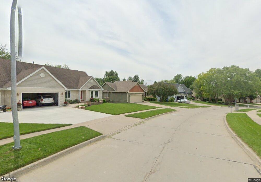
9124 Hammontree Dr Urbandale, IA 50322
Estimated Value: $399,269 - $466,000
4
Beds
3
Baths
1,580
Sq Ft
$266/Sq Ft
Est. Value
About This Home
This home is located at 9124 Hammontree Dr, Urbandale, IA 50322 and is currently estimated at $420,567, approximately $266 per square foot. 9124 Hammontree Dr is a home located in Polk County with nearby schools including Urbandale Middle School, Urbandale High School, and St Pius X School.
Ownership History
Date
Name
Owned For
Owner Type
Purchase Details
Closed on
May 23, 2012
Sold by
Mapes Franklyn G
Bought by
Mickey Peter A and Mickey Lisa M
Current Estimated Value
Home Financials for this Owner
Home Financials are based on the most recent Mortgage that was taken out on this home.
Original Mortgage
$216,000
Outstanding Balance
$149,585
Interest Rate
3.89%
Mortgage Type
New Conventional
Estimated Equity
$270,982
Purchase Details
Closed on
Apr 7, 2001
Sold by
Pierce Dorothy A
Bought by
Mapes Franklyn G and Mapes Lola R
Home Financials for this Owner
Home Financials are based on the most recent Mortgage that was taken out on this home.
Original Mortgage
$110,000
Interest Rate
7.05%
Mortgage Type
Credit Line Revolving
Create a Home Valuation Report for This Property
The Home Valuation Report is an in-depth analysis detailing your home's value as well as a comparison with similar homes in the area
Home Values in the Area
Average Home Value in this Area
Purchase History
| Date | Buyer | Sale Price | Title Company |
|---|---|---|---|
| Mickey Peter A | $239,500 | Itc | |
| Mapes Franklyn G | $225,500 | -- |
Source: Public Records
Mortgage History
| Date | Status | Borrower | Loan Amount |
|---|---|---|---|
| Open | Mickey Peter A | $216,000 | |
| Previous Owner | Mapes Franklyn G | $110,000 |
Source: Public Records
Tax History Compared to Growth
Tax History
| Year | Tax Paid | Tax Assessment Tax Assessment Total Assessment is a certain percentage of the fair market value that is determined by local assessors to be the total taxable value of land and additions on the property. | Land | Improvement |
|---|---|---|---|---|
| 2025 | $6,566 | $423,500 | $104,600 | $318,900 |
| 2024 | $6,566 | $373,000 | $91,200 | $281,800 |
| 2023 | $6,668 | $373,000 | $91,200 | $281,800 |
| 2022 | $6,588 | $319,600 | $80,700 | $238,900 |
| 2021 | $6,488 | $319,600 | $80,700 | $238,900 |
| 2020 | $6,374 | $299,000 | $75,400 | $223,600 |
| 2019 | $6,016 | $299,000 | $75,400 | $223,600 |
| 2018 | $5,792 | $270,100 | $67,000 | $203,100 |
| 2017 | $5,746 | $270,100 | $67,000 | $203,100 |
| 2016 | $5,600 | $263,400 | $60,600 | $202,800 |
| 2015 | $5,600 | $263,400 | $60,600 | $202,800 |
| 2014 | $5,520 | $257,500 | $58,200 | $199,300 |
Source: Public Records
Map
Nearby Homes
- 9107 Tanglewood Dr
- 4460 90th St
- 4221 90th St
- 8914 Valdez Dr
- 4473 89th St
- 4480 87th St Unit 10
- 8626 Alpine Dr Unit D
- 8641 Alpine Dr Unit E
- 3957 92nd Dr
- 3916 Greenview Dr
- 4305 98th St
- 4748 Hillsdale Dr
- 3889 92nd Dr
- 2 Quail Ridge
- 3 Quail Ridge
- 8 Quail Ridge
- 7 Quail Ridge
- 4 Quail Ridge
- 5 Quail Ridge
- 1 Quail Ridge
- 4300 92nd St
- 9120 Hammontree Dr
- 4221 92nd Ct
- 4306 92nd St
- 9116 Hammontree Dr
- 9125 Hammontree Dr
- 4217 92nd Ct
- 9121 Hammontree Dr
- 4305 92nd St
- 4225 92nd Ct
- 9110 Hammontree Dr
- 4312 92nd St
- 9115 Hammontree Dr
- 4211 92nd Ct
- 9136 Tanglewood Dr
- 9109 Hammontree Dr
- 9104 Hammontree Dr
- 9126 Tanglewood Dr
- 9122 Tanglewood Dr
- 4220 92nd Ct