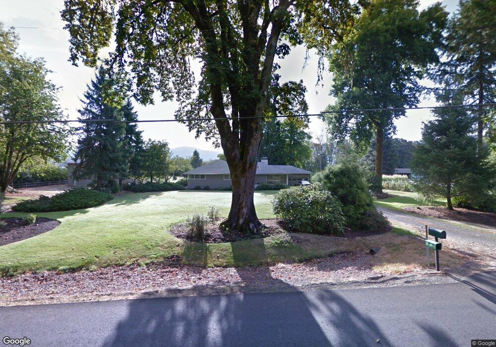
91245 Donna Rd Springfield, OR 97478
Estimated Value: $648,000 - $829,000
3
Beds
2
Baths
1,848
Sq Ft
$389/Sq Ft
Est. Value
About This Home
This home is located at 91245 Donna Rd, Springfield, OR 97478 and is currently estimated at $718,017, approximately $388 per square foot. 91245 Donna Rd is a home located in Lane County with nearby schools including Yolanda Elementary School, Briggs Middle School, and Thurston High School.
Ownership History
Date
Name
Owned For
Owner Type
Purchase Details
Closed on
Sep 30, 2024
Sold by
Steigleder Verner S
Bought by
Timothy P Mcclary And Deborah D Mcclary Revoc and Mcclary
Current Estimated Value
Home Financials for this Owner
Home Financials are based on the most recent Mortgage that was taken out on this home.
Original Mortgage
$502,640
Outstanding Balance
$496,525
Interest Rate
6.49%
Mortgage Type
New Conventional
Estimated Equity
$221,492
Create a Home Valuation Report for This Property
The Home Valuation Report is an in-depth analysis detailing your home's value as well as a comparison with similar homes in the area
Purchase History
| Date | Buyer | Sale Price | Title Company |
|---|---|---|---|
| Timothy P Mcclary And Deborah D Mcclary Revoc | $628,300 | Western Title |
Source: Public Records
Mortgage History
| Date | Status | Borrower | Loan Amount |
|---|---|---|---|
| Open | Timothy P Mcclary And Deborah D Mcclary Revoc | $502,640 |
Source: Public Records
Tax History
| Year | Tax Paid | Tax Assessment Tax Assessment Total Assessment is a certain percentage of the fair market value that is determined by local assessors to be the total taxable value of land and additions on the property. | Land | Improvement |
|---|---|---|---|---|
| 2025 | $4,240 | $377,974 | -- | -- |
| 2024 | $4,121 | $366,966 | -- | -- |
| 2023 | $4,121 | $356,278 | -- | -- |
| 2022 | $3,848 | $345,901 | $0 | $0 |
| 2021 | $3,757 | $335,827 | $0 | $0 |
| 2020 | $3,644 | $326,046 | $0 | $0 |
| 2019 | $3,509 | $316,550 | $0 | $0 |
| 2018 | $3,392 | $298,380 | $0 | $0 |
| 2017 | $3,145 | $298,380 | $0 | $0 |
| 2016 | $3,062 | $289,689 | $0 | $0 |
| 2015 | $2,982 | $281,251 | $0 | $0 |
| 2014 | $2,889 | $273,059 | $0 | $0 |
Source: Public Records
Map
Nearby Homes
- 91375 Marcola Rd
- 37082 Goats Rd
- 0 Hill Rd
- 37186 Tree Farm Rd
- 0 Cascade Woods Dr Unit 24194354
- 92020 Maple Ln
- 92133 Marcola Rd
- 38058 Railroad Ln
- 38216 Wendling Rd
- 0 Boiler Creek Rd
- 0 Wendling Rd
- 89112 Sky High Dr
- 0 Upper Camp Creek Rd Unit 734099093
- 0 Upper Camp Creek Rd Unit 473471921
- 0 Marcola Rd
- 37075 Camp Creek Rd
- 88692 Ermi Bee Rd
- 93099 Marcola Rd
- 90849 Coburghills Dr
- 90834 Coburghills Dr
Your Personal Tour Guide
Ask me questions while you tour the home.