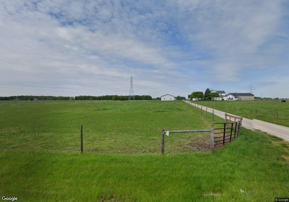
9127 Ricker Rd Grabill, IN 46741
Estimated Value: $387,000 - $609,000
5
Beds
--
Bath
3,560
Sq Ft
$149/Sq Ft
Est. Value
About This Home
This home is located at 9127 Ricker Rd, Grabill, IN 46741 and is currently estimated at $529,808, approximately $148 per square foot. 9127 Ricker Rd is a home located in Allen County with nearby schools including Woodlan Junior/Senior High School and Central Christian School.
Ownership History
Date
Name
Owned For
Owner Type
Purchase Details
Closed on
May 31, 2024
Sold by
Schwartz Daniel M and Schwartz Anna
Bought by
Schwartz Nathan J and Schwartz Rosetta K
Current Estimated Value
Purchase Details
Closed on
Jun 27, 2008
Sold by
Graber Lavern H and Graber Martha K
Bought by
Schwartz Daniel L
Home Financials for this Owner
Home Financials are based on the most recent Mortgage that was taken out on this home.
Original Mortgage
$100,000
Interest Rate
5.96%
Mortgage Type
Purchase Money Mortgage
Create a Home Valuation Report for This Property
The Home Valuation Report is an in-depth analysis detailing your home's value as well as a comparison with similar homes in the area
Home Values in the Area
Average Home Value in this Area
Purchase History
| Date | Buyer | Sale Price | Title Company |
|---|---|---|---|
| Schwartz Nathan J | -- | None Listed On Document | |
| Schwartz Daniel L | -- | None Available |
Source: Public Records
Mortgage History
| Date | Status | Borrower | Loan Amount |
|---|---|---|---|
| Previous Owner | Schwartz Daniel L | $100,000 |
Source: Public Records
Tax History Compared to Growth
Tax History
| Year | Tax Paid | Tax Assessment Tax Assessment Total Assessment is a certain percentage of the fair market value that is determined by local assessors to be the total taxable value of land and additions on the property. | Land | Improvement |
|---|---|---|---|---|
| 2024 | $3,353 | $367,500 | $110,600 | $256,900 |
| 2023 | $3,281 | $350,900 | $96,400 | $254,500 |
| 2022 | $3,099 | $320,500 | $86,500 | $234,000 |
| 2021 | $2,927 | $274,800 | $79,600 | $195,200 |
| 2020 | $2,439 | $268,300 | $79,300 | $189,000 |
| 2019 | $2,642 | $276,200 | $88,400 | $187,800 |
| 2018 | $2,671 | $250,600 | $90,100 | $160,500 |
| 2017 | $2,779 | $252,400 | $97,900 | $154,500 |
| 2016 | $2,887 | $260,400 | $101,500 | $158,900 |
| 2014 | $2,969 | $241,500 | $104,500 | $137,000 |
| 2013 | $2,825 | $235,000 | $95,000 | $140,000 |
Source: Public Records
Map
Nearby Homes
- 11168 Oaklynn Reserve Blvd
- 11122 Oaklynn Reserve Blvd
- 7862 Aniline Trail
- 7850 Aniline Trail
- 8130 Schwartz Rd
- 10923 Oaklynn Reserve Blvd
- 7826 Aniline Trail
- 10967 Oaklynn Reserve Blvd
- 10901 Oaklynn Reserve Blvd
- 11045 Traders Trace Way
- 11033 Traders Trace Way
- 7814 Aniline Trail
- 7802 Aniline Trail
- 7801 Aniline Trail
- 10967 Traders Trace Way
- Harmony Plan at Trader's Trace
- Stamford Plan at Trader's Trace
- Bellamy Plan at Trader's Trace
- Taylor Plan at Trader's Trace
- Henley Plan at Trader's Trace