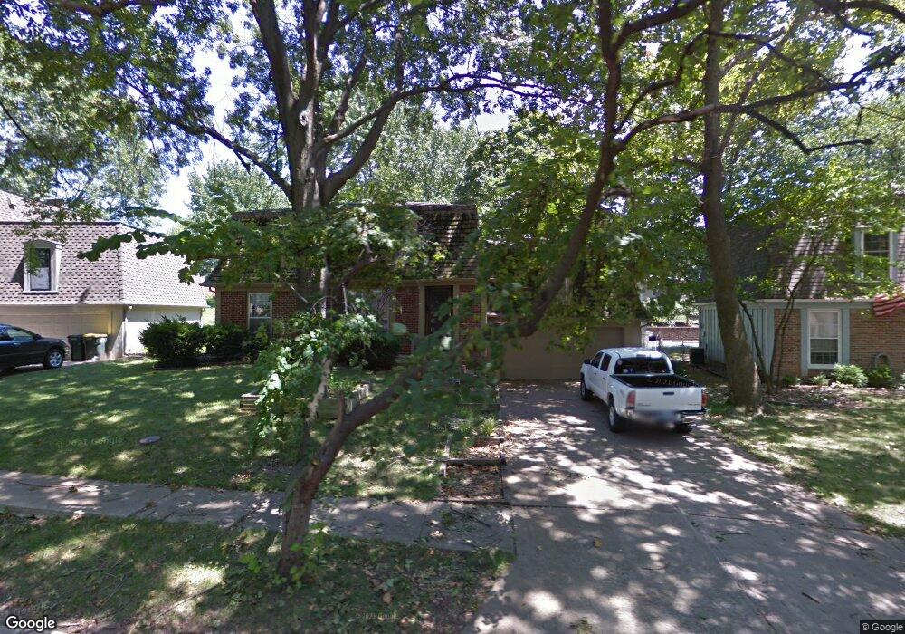
9127 Slater St Overland Park, KS 66212
Elmhurst NeighborhoodEstimated Value: $422,000 - $452,000
4
Beds
3
Baths
2,268
Sq Ft
$193/Sq Ft
Est. Value
About This Home
This home is located at 9127 Slater St, Overland Park, KS 66212 and is currently estimated at $437,960, approximately $193 per square foot. 9127 Slater St is a home located in Johnson County with nearby schools including Pawnee Elementary School, Westridge Middle School, and Shawnee Mission West High School.
Ownership History
Date
Name
Owned For
Owner Type
Purchase Details
Closed on
Jan 19, 2022
Sold by
Webb Madison F and Webb Erika
Bought by
Webb Family Trust
Current Estimated Value
Purchase Details
Closed on
Feb 13, 2021
Sold by
Webb Madison F and Webb Erika
Bought by
Webb Madison F and Webb Erika
Purchase Details
Closed on
Jan 23, 2008
Sold by
Mcmullin Richard N and Mcmullin Priscilla D
Bought by
Webb Madison F
Create a Home Valuation Report for This Property
The Home Valuation Report is an in-depth analysis detailing your home's value as well as a comparison with similar homes in the area
Home Values in the Area
Average Home Value in this Area
Purchase History
| Date | Buyer | Sale Price | Title Company |
|---|---|---|---|
| Webb Family Trust | -- | Creative Planning Legal Pa | |
| Webb Madison F | -- | None Available | |
| Webb Madison F | -- | Coffelt Land Title Inc |
Source: Public Records
Tax History Compared to Growth
Tax History
| Year | Tax Paid | Tax Assessment Tax Assessment Total Assessment is a certain percentage of the fair market value that is determined by local assessors to be the total taxable value of land and additions on the property. | Land | Improvement |
|---|---|---|---|---|
| 2024 | $4,105 | $42,527 | $9,491 | $33,036 |
| 2023 | $3,849 | $39,330 | $8,628 | $30,702 |
| 2022 | $3,514 | $36,179 | $8,628 | $27,551 |
| 2021 | $3,334 | $32,648 | $7,844 | $24,804 |
| 2020 | $3,300 | $32,349 | $6,825 | $25,524 |
| 2019 | $2,955 | $29,003 | $4,554 | $24,449 |
| 2018 | $2,729 | $26,680 | $4,554 | $22,126 |
| 2017 | $2,397 | $23,069 | $4,554 | $18,515 |
| 2016 | $2,412 | $22,839 | $4,554 | $18,285 |
| 2015 | $2,166 | $20,942 | $4,554 | $16,388 |
| 2013 | -- | $20,597 | $4,554 | $16,043 |
Source: Public Records
Map
Nearby Homes
- 9020 Grandview Dr
- 8315 W 91st Terrace
- 9146 W 92nd Place
- 9193 W 92nd Place
- 8110 W 92nd St
- 9406 Kessler Ln
- 9303 Hayes Dr
- 9310 W 90th St
- 8805 Grandview St
- 9028 Grant St
- 9314 W 89th Terrace
- 8926 Grant St
- 8745 Grandview St
- 9000 Hardy St
- 9303 Grant Dr
- 9135 Hayes Dr
- 9503 Grandview St
- 7917 W 92nd Place
- 8715 Mackey St
- 9121 Hayes Dr
- 9125 Slater St
- 9129 Slater St
- 9138 Antioch Rd
- 9142 Antioch Rd
- 9123 Slater St
- 9131 Slater St
- 9118 Antioch Rd
- 9124 Slater St
- 9128 Slater St
- 9134 Antioch Rd
- 9132 Slater St
- 9146 Antioch Rd
- 9121 Slater St
- 9135 Slater St
- 9124 Antioch Rd
- 9116 Slater St
- 9112 Antioch Rd
- 8712 W 92nd St
- 8800 W 92nd St
- 9112 Slater St