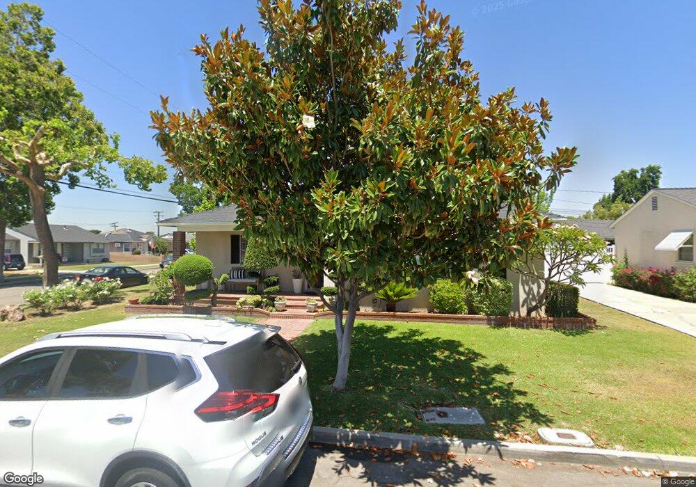
9127 Strub Ave Whittier, CA 90605
South Whittier NeighborhoodEstimated Value: $768,603 - $824,000
3
Beds
2
Baths
1,433
Sq Ft
$551/Sq Ft
Est. Value
About This Home
This home is located at 9127 Strub Ave, Whittier, CA 90605 and is currently estimated at $789,151, approximately $550 per square foot. 9127 Strub Ave is a home located in Los Angeles County with nearby schools including Laurel Elementary School, Hillview Middle School, and Whittier High School.
Ownership History
Date
Name
Owned For
Owner Type
Purchase Details
Closed on
May 2, 2011
Sold by
Castillo Celia
Bought by
Castillo Celia
Current Estimated Value
Home Financials for this Owner
Home Financials are based on the most recent Mortgage that was taken out on this home.
Original Mortgage
$136,000
Interest Rate
4.77%
Mortgage Type
New Conventional
Purchase Details
Closed on
Dec 19, 2000
Sold by
Castillo German
Bought by
Castillo Celia
Create a Home Valuation Report for This Property
The Home Valuation Report is an in-depth analysis detailing your home's value as well as a comparison with similar homes in the area
Home Values in the Area
Average Home Value in this Area
Purchase History
| Date | Buyer | Sale Price | Title Company |
|---|---|---|---|
| Castillo Celia | -- | Lsi Title Company | |
| Castillo Celia | -- | -- |
Source: Public Records
Mortgage History
| Date | Status | Borrower | Loan Amount |
|---|---|---|---|
| Closed | Castillo Celia | $136,000 |
Source: Public Records
Tax History Compared to Growth
Tax History
| Year | Tax Paid | Tax Assessment Tax Assessment Total Assessment is a certain percentage of the fair market value that is determined by local assessors to be the total taxable value of land and additions on the property. | Land | Improvement |
|---|---|---|---|---|
| 2025 | $3,229 | $236,472 | $91,583 | $144,889 |
| 2024 | $3,229 | $231,837 | $89,788 | $142,049 |
| 2023 | $3,170 | $227,292 | $88,028 | $139,264 |
| 2022 | $3,152 | $222,836 | $86,302 | $136,534 |
| 2021 | $3,073 | $218,467 | $84,610 | $133,857 |
| 2019 | $3,049 | $211,989 | $82,101 | $129,888 |
| 2018 | $2,888 | $207,834 | $80,492 | $127,342 |
| 2016 | $2,750 | $199,766 | $77,367 | $122,399 |
| 2015 | $2,636 | $196,766 | $76,205 | $120,561 |
| 2014 | $2,625 | $192,913 | $74,713 | $118,200 |
Source: Public Records
Map
Nearby Homes
- 13762 Danbrook Dr
- 14033 Oval Dr
- 14064 Carnell St
- 8807 Jacmar Ave
- 8723 Laurel Ave
- 14013 Chestnut St
- 13535 Dunton Dr
- 13856 Mulberry Dr
- 14042 Hawes St
- 8919 Boyar Ave
- 8603 Laurel Ave
- 9551 Barkerville Ave
- 10035 Ben Hur Ave
- 14239 Cullen St
- 13328 Citicourt Ln
- 8366 Sargent Ave
- 8621 Calmada Ave
- 13649 Reis St
- 13426 Anola St
- 9009 Bluford Ave
- 9121 Strub Ave
- 9130 Milliken Ave
- 9122 Milliken Ave
- 9115 Strub Ave
- 9126 Strub Ave
- 13844 Danbrook Dr
- 9116 Milliken Ave
- 13840 Danbrook Dr
- 13850 Danbrook Dr
- 9118 Strub Ave
- 9109 Strub Ave
- 13834 Danbrook Dr
- 13902 Danbrook Dr
- 9110 Milliken Ave
- 9112 Strub Ave
- 13830 Danbrook Dr
- 13906 Danbrook Dr
- 9121 Edmaru Ave
- 9131 Milliken Ave
- 9125 Milliken Ave