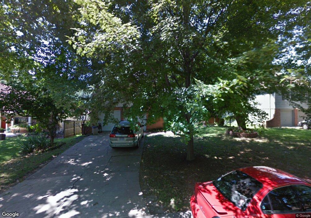
9128 Slater St Overland Park, KS 66212
Elmhurst NeighborhoodEstimated Value: $389,335 - $396,000
4
Beds
3
Baths
1,601
Sq Ft
$245/Sq Ft
Est. Value
About This Home
This home is located at 9128 Slater St, Overland Park, KS 66212 and is currently estimated at $392,334, approximately $245 per square foot. 9128 Slater St is a home located in Johnson County with nearby schools including Pawnee Elementary School, Westridge Middle School, and Shawnee Mission West High School.
Ownership History
Date
Name
Owned For
Owner Type
Purchase Details
Closed on
Jun 16, 2025
Sold by
Addadi Barbara Ann and Pineda Nelson O
Bought by
Barbara A Pineda Living Trust and Pineda
Current Estimated Value
Purchase Details
Closed on
May 18, 2001
Sold by
Addadi Daniel Shaul
Bought by
Addadi Barbara Ann
Home Financials for this Owner
Home Financials are based on the most recent Mortgage that was taken out on this home.
Original Mortgage
$105,000
Interest Rate
7.11%
Create a Home Valuation Report for This Property
The Home Valuation Report is an in-depth analysis detailing your home's value as well as a comparison with similar homes in the area
Home Values in the Area
Average Home Value in this Area
Purchase History
| Date | Buyer | Sale Price | Title Company |
|---|---|---|---|
| Barbara A Pineda Living Trust | -- | None Listed On Document | |
| Barbara A Pineda Living Trust | -- | None Listed On Document | |
| Addadi Barbara Ann | -- | Security Land Title Company |
Source: Public Records
Mortgage History
| Date | Status | Borrower | Loan Amount |
|---|---|---|---|
| Previous Owner | Addadi Barbara Ann | $105,000 |
Source: Public Records
Tax History Compared to Growth
Tax History
| Year | Tax Paid | Tax Assessment Tax Assessment Total Assessment is a certain percentage of the fair market value that is determined by local assessors to be the total taxable value of land and additions on the property. | Land | Improvement |
|---|---|---|---|---|
| 2024 | $3,840 | $39,870 | $9,433 | $30,437 |
| 2023 | $3,589 | $36,708 | $8,576 | $28,132 |
| 2022 | $3,336 | $34,374 | $8,576 | $25,798 |
| 2021 | $3,161 | $30,958 | $7,796 | $23,162 |
| 2020 | $7,654 | $29,026 | $6,784 | $22,242 |
| 2019 | $2,682 | $26,335 | $4,526 | $21,809 |
| 2018 | $2,565 | $25,081 | $4,526 | $20,555 |
| 2017 | $2,329 | $22,425 | $4,526 | $17,899 |
| 2016 | $2,285 | $21,643 | $4,526 | $17,117 |
| 2015 | $2,093 | $20,240 | $4,526 | $15,714 |
| 2013 | -- | $19,849 | $4,526 | $15,323 |
Source: Public Records
Map
Nearby Homes
- 9020 Grandview Dr
- 9146 W 92nd Place
- 9193 W 92nd Place
- 8315 W 91st Terrace
- 9406 Kessler Ln
- 9303 Hayes Dr
- 9310 W 90th St
- 8110 W 92nd St
- 9028 Grant St
- 8805 Grandview St
- 9314 W 89th Terrace
- 8926 Grant St
- 9135 Hayes Dr
- 9303 Grant Dr
- 8745 Grandview St
- 9503 Grandview St
- 9121 Hayes Dr
- 9000 Hardy St
- 8947 Knox Ln
- 8715 Mackey St
- 9132 Slater St
- 9124 Slater St
- 9112 Slater St
- 8800 W 92nd St
- 9116 Slater St
- 8804 W 92nd St
- 9129 Slater St
- 9127 Slater St
- 9125 Slater St
- 9131 Slater St
- 9108 Slater St
- 8808 W 92nd St
- 9135 Slater St
- 9123 Slater St
- 9142 Antioch Rd
- 9121 Slater St
- 8812 W 92nd St
- 8712 W 92nd St
- 9104 Slater St
- 9138 Antioch Rd