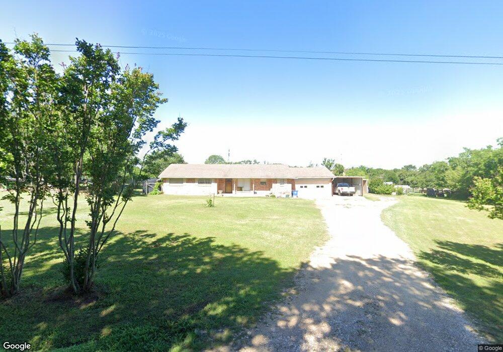
913 Barnes Rd Cleburne, TX 76031
Estimated Value: $298,000 - $400,000
3
Beds
2
Baths
1,338
Sq Ft
$253/Sq Ft
Est. Value
About This Home
This home is located at 913 Barnes Rd, Cleburne, TX 76031 and is currently estimated at $338,247, approximately $252 per square foot. 913 Barnes Rd is a home located in Johnson County with nearby schools including Keene Elementary School, Keene Junior High School, and Keene H.S..
Ownership History
Date
Name
Owned For
Owner Type
Purchase Details
Closed on
Jul 2, 2025
Sold by
Alway Raymond Edgar and Alway Jean Anne
Bought by
Alway Raymond Edgar and Alway Jean Anne
Current Estimated Value
Purchase Details
Closed on
Apr 18, 2005
Sold by
Wells Mildred Louise
Bought by
Alway Jean A and Alway Raymond E
Home Financials for this Owner
Home Financials are based on the most recent Mortgage that was taken out on this home.
Original Mortgage
$79,848
Interest Rate
5.89%
Mortgage Type
New Conventional
Create a Home Valuation Report for This Property
The Home Valuation Report is an in-depth analysis detailing your home's value as well as a comparison with similar homes in the area
Home Values in the Area
Average Home Value in this Area
Purchase History
| Date | Buyer | Sale Price | Title Company |
|---|---|---|---|
| Alway Raymond Edgar | -- | Corporation Service Company | |
| Alway Jean A | -- | None Available |
Source: Public Records
Mortgage History
| Date | Status | Borrower | Loan Amount |
|---|---|---|---|
| Previous Owner | Alway Jean A | $79,848 |
Source: Public Records
Tax History
| Year | Tax Paid | Tax Assessment Tax Assessment Total Assessment is a certain percentage of the fair market value that is determined by local assessors to be the total taxable value of land and additions on the property. | Land | Improvement |
|---|---|---|---|---|
| 2025 | $1,647 | $232,573 | $24,940 | $207,633 |
| 2024 | $3,154 | $206,692 | $0 | $0 |
| 2023 | $1,642 | $232,573 | $24,940 | $207,633 |
| 2022 | $3,127 | $232,573 | $24,940 | $207,633 |
| 2021 | $3,110 | $0 | $0 | $0 |
| 2020 | $2,428 | $149,039 | $24,940 | $124,099 |
| 2019 | $2,114 | $112,678 | $24,940 | $87,738 |
| 2018 | $2,009 | $99,827 | $24,940 | $74,887 |
| 2017 | $1,996 | $99,827 | $24,940 | $74,887 |
| 2016 | $1,996 | $99,827 | $24,940 | $74,887 |
| 2015 | $1,786 | $99,827 | $24,940 | $74,887 |
| 2014 | $1,786 | $99,827 | $24,940 | $74,887 |
Source: Public Records
Map
Nearby Homes
- 100 Hyline Dr
- 407 E Oakdale St
- 406 N Eastern St
- 1311 County Road 702
- 305 N Eastern St
- 503 N Fairview St Unit LOT 46
- 108 E Maple St
- 2405 County Road 805b
- 2812 County Road 805b
- 553 Pendleton Ave
- 525 Pendleton Ave
- 301 Trail Ct
- 300 Pepper St
- 301 Pepper St
- 304 Trail Ct
- 305 Trail Ct
- 305 Pepper St
- 308 Trail Ct
- 309 Pepper St
- 305 Potato St
Your Personal Tour Guide
Ask me questions while you tour the home.