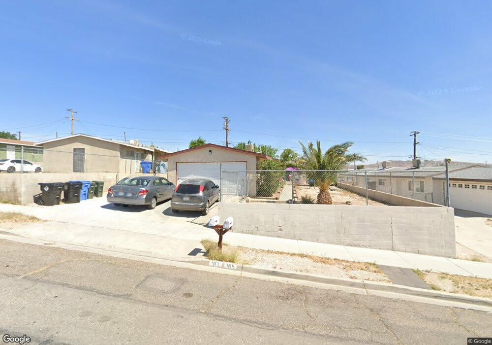
913 Carson St Unit 91391 Barstow, CA 92311
Estimated Value: $137,695 - $287,000
Studio
4
Baths
1,584
Sq Ft
$145/Sq Ft
Est. Value
About This Home
This home is located at 913 Carson St Unit 91391, Barstow, CA 92311 and is currently estimated at $230,174, approximately $145 per square foot. 913 Carson St Unit 91391 is a home located in San Bernardino County with nearby schools including Barstow Junior High School, Barstow High School, and Mojave River Academy - Silver Mountain.
Ownership History
Date
Name
Owned For
Owner Type
Purchase Details
Closed on
Mar 23, 2022
Sold by
Djt Family Trust
Bought by
Trotter Family Two Llc
Current Estimated Value
Purchase Details
Closed on
Jun 17, 2008
Sold by
Trotter David K and Trotter Janel K
Bought by
Trotter David and Trotter Janel
Purchase Details
Closed on
Jun 23, 2004
Sold by
Mueseler E A
Bought by
Trotter David K and Trotter Jenal K
Purchase Details
Closed on
Nov 1, 1991
Sold by
Richardson L J
Bought by
Mueseler G A
Create a Home Valuation Report for This Property
The Home Valuation Report is an in-depth analysis detailing your home's value as well as a comparison with similar homes in the area
Home Values in the Area
Average Home Value in this Area
Purchase History
| Date | Buyer | Sale Price | Title Company |
|---|---|---|---|
| Trotter Family Two Llc | -- | None Listed On Document | |
| Trotter David | -- | None Available | |
| Trotter David K | $65,000 | Stewart Title Company | |
| Mueseler G A | -- | -- |
Source: Public Records
Tax History
| Year | Tax Paid | Tax Assessment Tax Assessment Total Assessment is a certain percentage of the fair market value that is determined by local assessors to be the total taxable value of land and additions on the property. | Land | Improvement |
|---|---|---|---|---|
| 2025 | $1,037 | $90,606 | $20,908 | $69,698 |
| 2024 | $1,018 | $88,829 | $20,498 | $68,331 |
| 2023 | $997 | $87,087 | $20,096 | $66,991 |
| 2022 | $993 | $85,379 | $19,702 | $65,677 |
| 2021 | $964 | $83,705 | $19,316 | $64,389 |
| 2020 | $965 | $82,847 | $19,118 | $63,729 |
| 2019 | $915 | $81,222 | $18,743 | $62,479 |
| 2018 | $960 | $79,629 | $18,375 | $61,254 |
| 2017 | $868 | $78,068 | $18,015 | $60,053 |
| 2016 | $857 | $76,537 | $17,662 | $58,875 |
| 2015 | $840 | $75,388 | $17,397 | $57,991 |
| 2014 | $834 | $73,911 | $17,056 | $56,855 |
Source: Public Records
Map
Nearby Homes
- 912 Kelly Dr
- 820 Lillian Dr
- 660 Kathleen Dr
- 611 Lillian Dr
- 620 Kathleen Dr
- 905 E Elizabeth St
- 937 E Elizabeth St
- 700 Agnes Dr
- 610 Agnes Dr
- 840 E Virginia Way
- 561 Frances Dr
- 540 Frances Dr
- 917 Ann St
- 541 Frances Dr
- 0 Helen Runyon Dr
- 36631 Western Whip Ct
- 36630 Western Whip Ct
- 317-319 Melissa Ave
- 0 Unnamed Rd Unit SW25046623
- 1148 E Virginia Way
- 917 Carson St
- 917 Carson St Unit 917-9
- 917 Carson St Unit 917-91
- 917 Carson St
- 909 Carson St Unit 90991
- 917 Carson St Unit 917-9
- 917 Carson St
- 919 Carson St
- 919 Carson St
- 905 Carson St
- 905 Carson St Unit 3
- 905 Carson St Unit 2
- 905 Carson St Unit 1
- 905 Carson St
- 921 Carson St
- 908 Kelly Dr
- 916 Kelly Dr
- 904 Kelly Dr
- 935 Carson St
- 939 Carson St
Your Personal Tour Guide
Ask me questions while you tour the home.