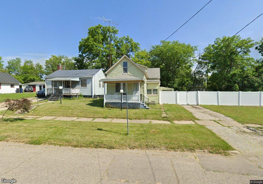
913 Carton St Flint, MI 48505
King Avenue Plus NeighborhoodEstimated Value: $27,000 - $69,456
3
Beds
2
Baths
1,013
Sq Ft
$47/Sq Ft
Est. Value
About This Home
This home is located at 913 Carton St, Flint, MI 48505 and is currently estimated at $47,364, approximately $46 per square foot. 913 Carton St is a home located in Genesee County with nearby schools including Brownell STEM Academy, Richfield Public School Academy, and Greater Heights Academy.
Ownership History
Date
Name
Owned For
Owner Type
Purchase Details
Closed on
Apr 11, 2024
Sold by
Dorsey William A
Bought by
Dorsey William A and Dorsey Dante D
Current Estimated Value
Purchase Details
Closed on
Apr 7, 2020
Sold by
Genesee County Land Bank Authority
Bought by
Dorsey Willaim A
Purchase Details
Closed on
Jan 24, 2011
Sold by
Blair Kimberly G
Bought by
Dorsey William A
Purchase Details
Closed on
Dec 20, 2006
Sold by
Blair Tommy L
Bought by
Dorsey William A
Purchase Details
Closed on
Jan 25, 2001
Sold by
Embry Marty R and Reaves Embry Joya
Bought by
Blair Tommy L and Blair Kimberly G
Create a Home Valuation Report for This Property
The Home Valuation Report is an in-depth analysis detailing your home's value as well as a comparison with similar homes in the area
Home Values in the Area
Average Home Value in this Area
Purchase History
| Date | Buyer | Sale Price | Title Company |
|---|---|---|---|
| Dorsey William A | -- | None Listed On Document | |
| Dorsey Willaim A | -- | None Available | |
| Dorsey William A | -- | None Available | |
| Dorsey William A | $25,000 | None Available | |
| Blair Tommy L | $5,000 | Stewart Title Guaranty Co |
Source: Public Records
Tax History Compared to Growth
Tax History
| Year | Tax Paid | Tax Assessment Tax Assessment Total Assessment is a certain percentage of the fair market value that is determined by local assessors to be the total taxable value of land and additions on the property. | Land | Improvement |
|---|---|---|---|---|
| 2025 | $408 | $10,700 | $0 | $0 |
| 2024 | $390 | $8,700 | $0 | $0 |
| 2023 | $395 | $5,400 | $0 | $0 |
| 2022 | $0 | $4,300 | $0 | $0 |
| 2021 | $396 | $4,100 | $0 | $0 |
| 2020 | $378 | $3,600 | $0 | $0 |
| 2019 | $382 | $2,900 | $0 | $0 |
| 2018 | $337 | $2,600 | $0 | $0 |
| 2017 | $332 | $0 | $0 | $0 |
| 2016 | $331 | $0 | $0 | $0 |
| 2015 | -- | $0 | $0 | $0 |
| 2014 | -- | $0 | $0 | $0 |
| 2012 | -- | $3,000 | $0 | $0 |
Source: Public Records
Map
Nearby Homes
- 4028 North St
- 613 E van Wagoner Ave
- 638 E Pasadena Ave
- 606 Damon St
- 733 Black Ave
- 418 Damon St
- 3810 Marvin St
- 370 E Moore St
- 313 Edwin Ave
- 0 E Marengo Ave Unit 50166417
- 3506 Esther St
- 618 E Pulaski Ave
- 680 E Pierson Rd
- 218 E Jackson Ave
- 726 E Parkway Ave
- 1526 Montana Ave
- 1518 Leith St
- 2913 Martin Luther King Ave
- 2913
- 1445 Maryland Ave
- 917 Carton St
- 909 Carton St
- 910 Addison St
- 901 Carton St
- 922 Addison St
- 929 Carton St
- 906 Addison St
- 902 Addison St
- 914 Carton St
- 918 Carton St
- 910 Carton St
- 834 Addison St
- 829 Carton St
- 926 Carton St
- 830 Addison St
- 836 Carton St
- 825 Carton St
- 3711 Industrial Ave
- 3701 Industrial Ave
- 3713 Industrial Ave