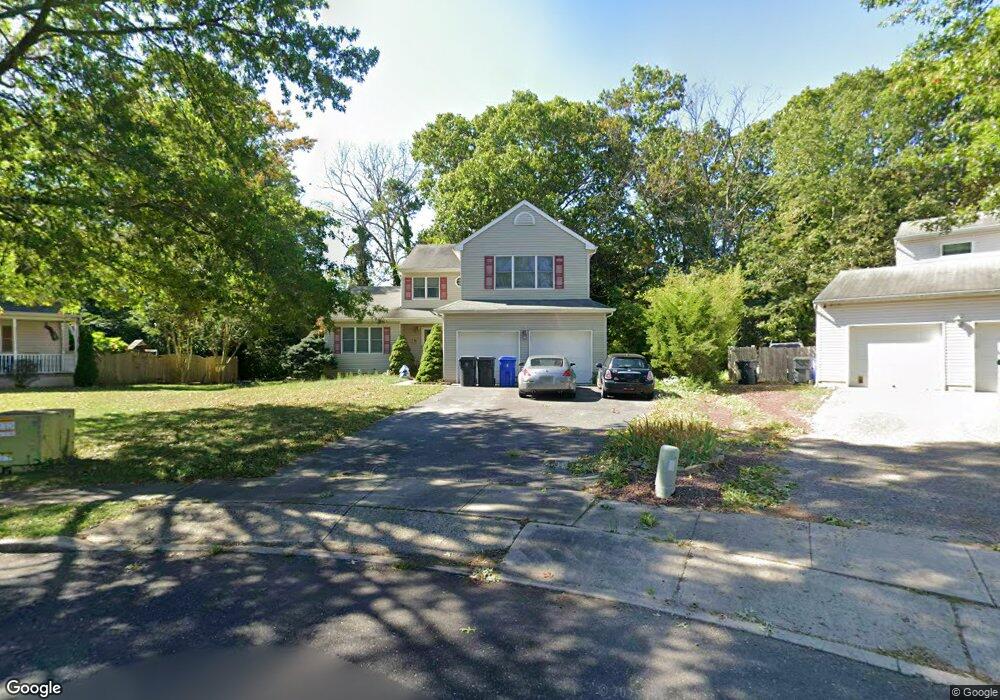
913 Roundtree Dr Toms River, NJ 08753
Estimated Value: $614,000 - $735,000
4
Beds
3
Baths
2,338
Sq Ft
$297/Sq Ft
Est. Value
About This Home
This home is located at 913 Roundtree Dr, Toms River, NJ 08753 and is currently estimated at $694,310, approximately $296 per square foot. 913 Roundtree Dr is a home located in Ocean County with nearby schools including St Joseph Grade School and Donovan Catholic High School.
Ownership History
Date
Name
Owned For
Owner Type
Purchase Details
Closed on
Apr 14, 2004
Sold by
Bock Michael Raymond and Bock Nicole Marie
Bought by
Lento Andrew J
Current Estimated Value
Home Financials for this Owner
Home Financials are based on the most recent Mortgage that was taken out on this home.
Original Mortgage
$333,700
Outstanding Balance
$79,620
Interest Rate
5.47%
Mortgage Type
Fannie Mae Freddie Mac
Estimated Equity
$614,690
Purchase Details
Closed on
Sep 10, 1998
Sold by
Jones Jerry C and Jones Tanya L
Bought by
Bock Michael Raymond and Bock Nicole Marie
Home Financials for this Owner
Home Financials are based on the most recent Mortgage that was taken out on this home.
Original Mortgage
$153,646
Interest Rate
6.8%
Create a Home Valuation Report for This Property
The Home Valuation Report is an in-depth analysis detailing your home's value as well as a comparison with similar homes in the area
Home Values in the Area
Average Home Value in this Area
Purchase History
| Date | Buyer | Sale Price | Title Company |
|---|---|---|---|
| Lento Andrew J | $375,000 | None Available | |
| Bock Michael Raymond | $160,900 | -- |
Source: Public Records
Mortgage History
| Date | Status | Borrower | Loan Amount |
|---|---|---|---|
| Open | Lento Andrew J | $333,700 | |
| Previous Owner | Bock Michael Raymond | $153,646 |
Source: Public Records
Tax History Compared to Growth
Tax History
| Year | Tax Paid | Tax Assessment Tax Assessment Total Assessment is a certain percentage of the fair market value that is determined by local assessors to be the total taxable value of land and additions on the property. | Land | Improvement |
|---|---|---|---|---|
| 2025 | $9,600 | $527,200 | $172,000 | $355,200 |
| 2024 | $9,126 | $527,200 | $172,000 | $355,200 |
| 2023 | $8,799 | $527,200 | $172,000 | $355,200 |
| 2022 | $8,799 | $527,200 | $172,000 | $355,200 |
| 2021 | $8,727 | $348,400 | $95,500 | $252,900 |
| 2020 | $8,689 | $348,400 | $95,500 | $252,900 |
| 2019 | $8,313 | $348,400 | $95,500 | $252,900 |
| 2018 | $8,201 | $348,400 | $95,500 | $252,900 |
| 2017 | $8,132 | $348,400 | $95,500 | $252,900 |
| 2016 | $7,919 | $348,400 | $95,500 | $252,900 |
| 2015 | $7,620 | $348,400 | $95,500 | $252,900 |
| 2014 | $7,254 | $348,400 | $95,500 | $252,900 |
Source: Public Records
Map
Nearby Homes
- 711 Bay Ave
- 241 Lester Rd
- 718 Arrow Dr
- 830 Brookside Dr
- 741 Spruce Hill Dr
- 939 Alden Dr
- 308 Cedar Grove Rd
- 507 Sloop Ct
- 751 High Meadow Dr
- 308 Tradewinds Ave
- 707 Cedar Point Ct
- 348 Cedar Grove Rd
- 679 Clifton Ave
- 73 Cedar Grove Rd
- 696 Schoolhouse Ln
- 14 Turnberry Cir Unit 117
- 22 Turnberry Cir Unit 121
- 821 Oak Ave
- 823 Oak Ave
- 819 Oak Ave
- 909 Roundtree Dr
- 914 Roundtree Dr
- 905 Roundtree Dr
- 903 Brookside Dr
- 899 Brookside Dr
- 910 Roundtree Dr
- 907 Brookside Dr
- 906 Roundtree Dr
- 895 Brookside Dr
- 901 Roundtree Dr
- 911 Brookside Dr
- 222 Barbara Cir
- 691 Bay Ave
- 6 Brookside Ct
- 902 Roundtree Dr
- 226 Barbara Cir
- 695 Bay Ave
- 915 Brookside Dr
- 699 Bay Ave
- 891 Brookside Dr