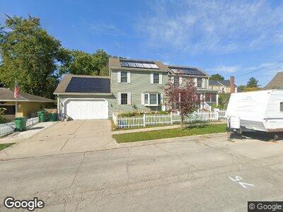
913 Townsend St Sycamore, IL 60178
Estimated Value: $202,000 - $245,037
1
Bed
2
Baths
924
Sq Ft
$239/Sq Ft
Est. Value
About This Home
This home is located at 913 Townsend St, Sycamore, IL 60178 and is currently estimated at $220,509, approximately $238 per square foot. 913 Townsend St is a home located in DeKalb County with nearby schools including Sycamore High School, St Mary's Catholic School, and Cornerstone Christian Academy.
Ownership History
Date
Name
Owned For
Owner Type
Purchase Details
Closed on
Jul 29, 2010
Sold by
Carlson Katherine M
Bought by
Davis Katherine M and Davis Brian J
Current Estimated Value
Home Financials for this Owner
Home Financials are based on the most recent Mortgage that was taken out on this home.
Original Mortgage
$96,000
Outstanding Balance
$64,979
Interest Rate
4.63%
Mortgage Type
New Conventional
Estimated Equity
$148,617
Create a Home Valuation Report for This Property
The Home Valuation Report is an in-depth analysis detailing your home's value as well as a comparison with similar homes in the area
Home Values in the Area
Average Home Value in this Area
Purchase History
| Date | Buyer | Sale Price | Title Company |
|---|---|---|---|
| Davis Katherine M | -- | -- |
Source: Public Records
Mortgage History
| Date | Status | Borrower | Loan Amount |
|---|---|---|---|
| Open | Davis Katherine M | $96,000 |
Source: Public Records
Tax History Compared to Growth
Tax History
| Year | Tax Paid | Tax Assessment Tax Assessment Total Assessment is a certain percentage of the fair market value that is determined by local assessors to be the total taxable value of land and additions on the property. | Land | Improvement |
|---|---|---|---|---|
| 2024 | $5,236 | $69,080 | $12,329 | $56,751 |
| 2023 | $5,236 | $64,627 | $11,534 | $53,093 |
| 2022 | $5,207 | $61,679 | $11,008 | $50,671 |
| 2021 | $5,021 | $58,725 | $10,481 | $48,244 |
| 2020 | $4,910 | $56,893 | $10,154 | $46,739 |
| 2019 | $5,431 | $61,813 | $9,728 | $52,085 |
| 2018 | $3,161 | $37,907 | $13,843 | $24,064 |
| 2017 | $3,038 | $36,088 | $13,179 | $22,909 |
| 2016 | $2,896 | $33,917 | $12,386 | $21,531 |
| 2015 | -- | $31,850 | $11,631 | $20,219 |
| 2014 | -- | $30,654 | $11,194 | $19,460 |
| 2013 | -- | $31,766 | $11,600 | $20,166 |
Source: Public Records
Map
Nearby Homes
- 146 Mclaren Dr S Unit 2D
- 165 Mclaren Dr N Unit 6D
- 333 E Cloverlane Dr
- 520 S Main St
- 1128 Somonauk St
- 644 South Ave
- 446 Somonauk St
- 927 Greenleaf St
- 431 Edward St
- 1125 Juniper Dr
- 1039 Greenleaf St
- 332 E Ottawa St
- 322 W High St
- 435 Mary Ann Cir
- 524 S Cross St
- 220 S Maple St
- 211 Leah Ct
- 424 Washington Place
- 1119 Parkside Dr
- 437 E Becker Place
- 913 Townsend St
- 226 W Turner Place
- 921 Townsend St
- 201 W Turner Place
- 927 Townsend St
- 912 Townsend St
- 918 Townsend St
- 933 Townsend St
- 926 Townsend St
- 211 W Turner Place
- 211 W Turner Place
- 937 Townsend St
- 204 W Turner Place
- 932 Townsend St
- 120 W Turner Place
- 943 Townsend St
- 938 Townsend St
- 125 W Turner Place
- 117 W Turner Place
- 121 W Turner Place