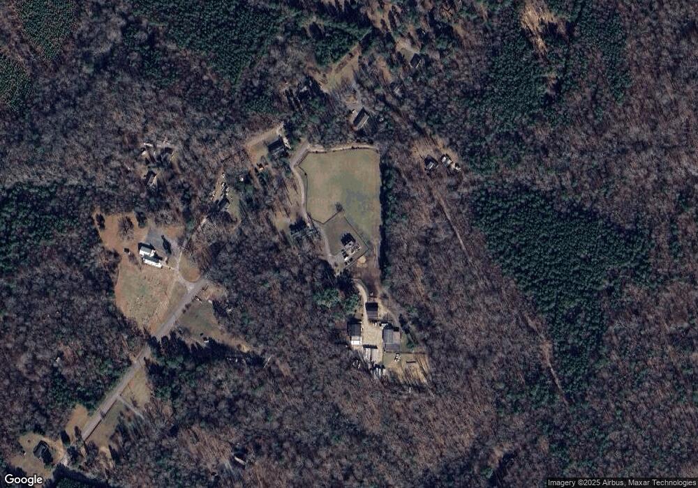
9133 Davenport Rd Gloucester, VA 23061
Estimated Value: $441,000 - $528,739
3
Beds
3
Baths
2,244
Sq Ft
$220/Sq Ft
Est. Value
About This Home
This home is located at 9133 Davenport Rd, Gloucester, VA 23061 and is currently estimated at $494,246, approximately $220 per square foot. 9133 Davenport Rd is a home located in Gloucester County with nearby schools including Petsworth Elementary School, Peasley Middle School, and Gloucester High School.
Ownership History
Date
Name
Owned For
Owner Type
Purchase Details
Closed on
Jul 12, 2010
Sold by
Davenport Cheryl A and Davenport Clarise M
Bought by
Sikora Wayne and Sikora Pamela
Current Estimated Value
Purchase Details
Closed on
May 5, 2010
Sold by
Davenport Rosaline Geraldine
Bought by
Sikora Wayne and Sikora Pamela
Home Financials for this Owner
Home Financials are based on the most recent Mortgage that was taken out on this home.
Original Mortgage
$26,400
Interest Rate
6.5%
Mortgage Type
Adjustable Rate Mortgage/ARM
Purchase Details
Closed on
May 15, 2009
Sold by
Thrift Margaret M and Bristokwk Charles F
Bought by
Simora Wayne M and Simora Pamela D
Create a Home Valuation Report for This Property
The Home Valuation Report is an in-depth analysis detailing your home's value as well as a comparison with similar homes in the area
Home Values in the Area
Average Home Value in this Area
Purchase History
| Date | Buyer | Sale Price | Title Company |
|---|---|---|---|
| Sikora Wayne | $13,852 | -- | |
| Sikora Wayne | $33,000 | -- | |
| Simora Wayne M | $67,000 | None Available |
Source: Public Records
Mortgage History
| Date | Status | Borrower | Loan Amount |
|---|---|---|---|
| Previous Owner | Sikora Wayne | $26,400 |
Source: Public Records
Tax History Compared to Growth
Tax History
| Year | Tax Paid | Tax Assessment Tax Assessment Total Assessment is a certain percentage of the fair market value that is determined by local assessors to be the total taxable value of land and additions on the property. | Land | Improvement |
|---|---|---|---|---|
| 2025 | $2,788 | $454,060 | $91,800 | $362,260 |
| 2024 | $2,788 | $454,060 | $91,800 | $362,260 |
| 2023 | $2,647 | $454,060 | $91,800 | $362,260 |
| 2022 | $2,764 | $381,280 | $63,970 | $317,310 |
| 2021 | $2,650 | $381,280 | $63,970 | $317,310 |
| 2020 | $2,650 | $381,280 | $63,970 | $317,310 |
| 2019 | $2,634 | $379,030 | $64,150 | $314,880 |
| 2017 | $2,634 | $379,030 | $64,150 | $314,880 |
| 2016 | $2,440 | $351,140 | $64,660 | $286,480 |
| 2015 | $2,337 | $381,800 | $98,000 | $283,800 |
| 2014 | $2,141 | $381,800 | $98,000 | $283,800 |
Source: Public Records
Map
Nearby Homes
- 9033 Chriscoe Ln
- 9155 Marlfield Rd
- 9016 Marlfield Rd
- 8747 Davenport Rd
- LOT 25 Stream Dr
- .51+AC Stream Dr
- .26+AC Poplar Springs Dr
- Lot 79 Poplar Springs Dr
- 8855 Marlfield Rd
- 2750 Shell Rd
- 8194 Manor Dr
- 3378 Enos Rd
- 8029 Pinetta Rd
- 0 Bacons Ln
- 00 Island Rd
- 0 S George Washington Memorial Hwy Unit 2509257
- 00 George Washington Memorial Hwy
- 00 Plainview Dr
- 16.4ac Plainview Dr
- 9855 George Washington Memorial Hwy
- 9131 Davenport Rd
- 8962 Chipsin Path
- 9177 Davenport Rd
- 9031 Morning Glory Rd
- 9.96 Davenport Rd
- 9083 Davenport Rd
- 9124 Davenport Rd
- LOT 6B Davenport Rd
- 0 Davenport Rd Unit 30038585
- 000 Davenport Rd
- 41+ Davenport Rd
- 00 Davenport Rd
- 10+ac Davenport Rd
- 9.96 ac Davenport Rd
- 4.76AC Davenport Rd
- 5.21ac Davenport Rd
- 0 Davenport Rd Unit 113817
- 0 Davenport Rd Unit 112433
- 0 Davenport Rd Unit 2037150
- 9187 Davenport Rd
