9133 Snell Rd Unit 9135 Canastota, NY 13032
Estimated Value: $158,000 - $309,000
4
Beds
4
Baths
1,879
Sq Ft
$124/Sq Ft
Est. Value
About This Home
This home is located at 9133 Snell Rd Unit 9135, Canastota, NY 13032 and is currently estimated at $232,373, approximately $123 per square foot. 9133 Snell Rd Unit 9135 is a home located in Madison County with nearby schools including Peterboro Street Elementary School, Roberts Street Middle School, and South Side Elementary School.
Ownership History
Date
Name
Owned For
Owner Type
Purchase Details
Closed on
May 21, 2014
Sold by
Koehler Monica
Bought by
Cesario Craig
Current Estimated Value
Home Financials for this Owner
Home Financials are based on the most recent Mortgage that was taken out on this home.
Original Mortgage
$113,000
Outstanding Balance
$3,083
Interest Rate
4.33%
Mortgage Type
New Conventional
Estimated Equity
$229,290
Create a Home Valuation Report for This Property
The Home Valuation Report is an in-depth analysis detailing your home's value as well as a comparison with similar homes in the area
Home Values in the Area
Average Home Value in this Area
Purchase History
| Date | Buyer | Sale Price | Title Company |
|---|---|---|---|
| Cesario Craig | $114,000 | Peter Finocchiaro |
Source: Public Records
Mortgage History
| Date | Status | Borrower | Loan Amount |
|---|---|---|---|
| Open | Cesario Craig | $113,000 |
Source: Public Records
Tax History Compared to Growth
Tax History
| Year | Tax Paid | Tax Assessment Tax Assessment Total Assessment is a certain percentage of the fair market value that is determined by local assessors to be the total taxable value of land and additions on the property. | Land | Improvement |
|---|---|---|---|---|
| 2024 | $5,762 | $144,000 | $16,300 | $127,700 |
| 2023 | $6,661 | $144,000 | $16,300 | $127,700 |
| 2022 | $0 | $144,000 | $16,300 | $127,700 |
| 2021 | $9,656 | $144,000 | $16,300 | $127,700 |
| 2020 | $9,656 | $144,000 | $16,300 | $127,700 |
| 2019 | $9,962 | $144,000 | $16,300 | $127,700 |
| 2018 | $9,962 | $144,000 | $16,300 | $127,700 |
| 2017 | $9,922 | $144,000 | $16,300 | $127,700 |
| 2016 | $9,656 | $144,000 | $16,300 | $127,700 |
| 2015 | -- | $144,000 | $16,300 | $127,700 |
| 2014 | -- | $144,000 | $8,800 | $135,200 |
Source: Public Records
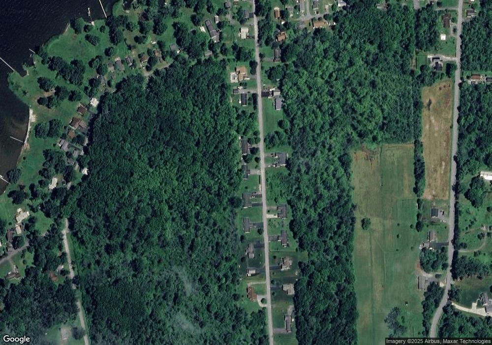
Map
Nearby Homes
- 9181 Old Orchard Rd
- 9663 Lewis Point Rd
- 9227 Wilson Cove Rd
- 9175 Briggs Bay Rd
- 9114 Briggs Bay Rd
- 9052 Edward O'Hara Ave
- 3471 Cleveland Place
- 9106 Arthur Jenkins Rd
- 9162 Arthur Jenkins Rd
- 2811 White Haven Rd Unit 2
- 9081 Kohles Ln
- 0 Stephens Rd Unit S1580888
- 0 Eddy Rd Unit S1633771
- 0 Lewis Point Rd Unit S1602042
- 4020 State Route 31
- 2408 Lake Rd
- 6752 Lakeshore Rd S
- 6638 Lakeshore Rd S
- 6641 Lake Shore Rd N
- 124 Seneca Ave
- 9127 Snell Rd
- 9139 Snell Rd Unit 9141
- 9138 Snell Rd Unit 9140
- 9138 Snell Rd Unit 9140
- 9113 Snell Rd Unit 9115
- 9120 Snell Rd Unit 9122
- 9110 Snell Rd Unit 9112
- 9161 Snell Rd
- 9162 Snell Rd
- 9107 Snell Rd
- 0 Snell Rd Unit S1090240
- 0 Snell Rd Unit S1090237
- 0 Snell Rd Unit S271883
- Lot 9 Snell Rd
- Lot 8 Snell Rd
- 00 Snell Rd
- 0 Snell Rd Unit S333627
- Lot 1B Snell Rd
- Lot 1A Snell Rd
- Lot 4 Snell Rd