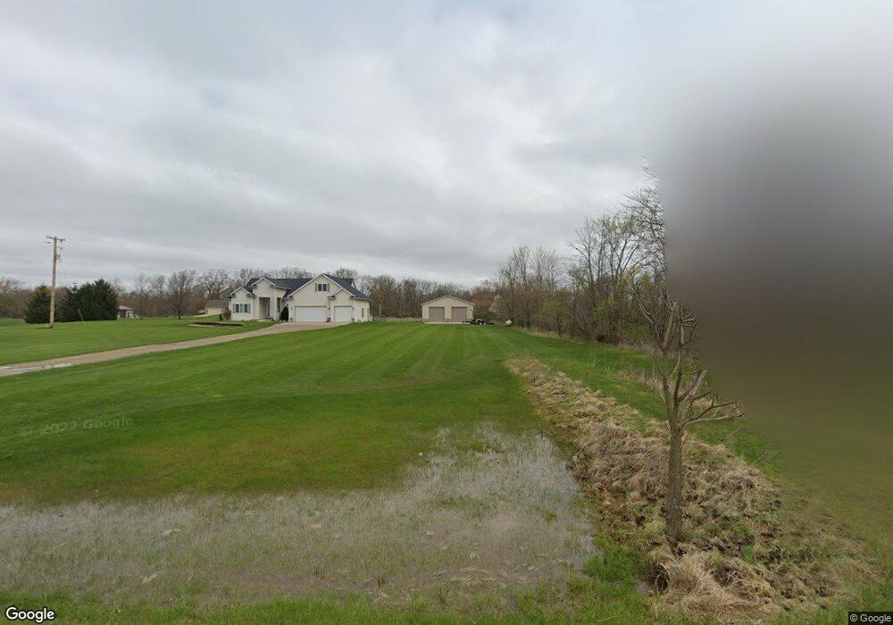
9135 Allan Rd New Lothrop, MI 48460
Estimated Value: $403,000 - $541,076
--
Bed
--
Bath
--
Sq Ft
4.7
Acres
About This Home
This home is located at 9135 Allan Rd, New Lothrop, MI 48460 and is currently estimated at $487,019. 9135 Allan Rd is a home located in Shiawassee County with nearby schools including New Lothrop Elementary School and New Lothrop High School.
Ownership History
Date
Name
Owned For
Owner Type
Purchase Details
Closed on
Nov 23, 2022
Sold by
Newman Garrett and Newman Christina
Bought by
Miller Brock J and Miller Nicole L
Current Estimated Value
Home Financials for this Owner
Home Financials are based on the most recent Mortgage that was taken out on this home.
Original Mortgage
$379,050
Outstanding Balance
$363,149
Interest Rate
5.25%
Mortgage Type
Balloon
Estimated Equity
$123,870
Purchase Details
Closed on
Oct 27, 2004
Sold by
Bishop George and Bishop Jennifer L
Bought by
Crowder Brian T and Crowder D Lynnette
Home Financials for this Owner
Home Financials are based on the most recent Mortgage that was taken out on this home.
Original Mortgage
$197,600
Interest Rate
3.75%
Mortgage Type
Purchase Money Mortgage
Create a Home Valuation Report for This Property
The Home Valuation Report is an in-depth analysis detailing your home's value as well as a comparison with similar homes in the area
Home Values in the Area
Average Home Value in this Area
Purchase History
| Date | Buyer | Sale Price | Title Company |
|---|---|---|---|
| Miller Brock J | $399,000 | -- | |
| Miller Brock J | $399,000 | None Listed On Document | |
| Crowder Brian T | $246,000 | Lawyers Title |
Source: Public Records
Mortgage History
| Date | Status | Borrower | Loan Amount |
|---|---|---|---|
| Open | Miller Brock J | $379,050 | |
| Closed | Miller Brock J | $379,050 | |
| Previous Owner | Crowder Brian T | $197,600 | |
| Closed | Crowder Brian T | $37,000 |
Source: Public Records
Tax History Compared to Growth
Tax History
| Year | Tax Paid | Tax Assessment Tax Assessment Total Assessment is a certain percentage of the fair market value that is determined by local assessors to be the total taxable value of land and additions on the property. | Land | Improvement |
|---|---|---|---|---|
| 2025 | $8,751 | $284,600 | $0 | $0 |
| 2024 | $8,274 | $258,500 | $0 | $0 |
| 2023 | $2,786 | $241,500 | $0 | $0 |
| 2022 | $1,352 | $216,500 | $0 | $0 |
| 2021 | $3,995 | $204,200 | $0 | $0 |
| 2020 | $3,967 | $190,900 | $0 | $0 |
| 2019 | $3,890 | $159,000 | $0 | $0 |
| 2018 | $3,548 | $144,800 | $0 | $0 |
| 2017 | $2,984 | $126,400 | $0 | $0 |
| 2016 | $10 | $126,400 | $0 | $0 |
| 2015 | $10 | $117,400 | $0 | $0 |
| 2014 | $9 | $106,400 | $0 | $0 |
Source: Public Records
Map
Nearby Homes
- 9807 Oak Ridge Rd
- 000 Old Timber Trail
- 9585 Henderson Rd
- 9456 Genesee St
- 7493 S Saginaw St
- 9464 Beech St
- 6501 N Vernon Rd
- 8366 Byron Rd
- 12374 Stanley Rd
- 9651 Juddville Rd
- 9197 Sheridan Rd
- 8425 Duffield Rd
- 8498 Duffield Rd
- 8506 Duffield Rd
- 11186 W Stanley Rd
- 3330 Sheridan Rd
- 11358 W Carpenter Rd Rd
- 8073 Nichols Rd
- 4571 6 Mile Creek Rd
- 18301 Gasper Rd