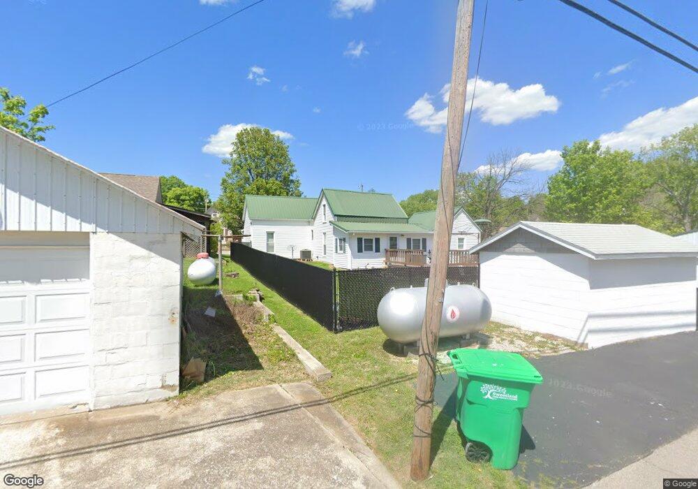
9135 High St Georgetown, IN 47122
Estimated Value: $199,000 - $209,000
3
Beds
1
Bath
1,384
Sq Ft
$147/Sq Ft
Est. Value
About This Home
This home is located at 9135 High St, Georgetown, IN 47122 and is currently estimated at $202,882, approximately $146 per square foot. 9135 High St is a home located in Floyd County with nearby schools including Georgetown Elementary School, Highland Hills Middle School, and Floyd Central High School.
Ownership History
Date
Name
Owned For
Owner Type
Purchase Details
Closed on
Aug 8, 2024
Sold by
Mcelwain Merrill R and Mcelwain Wilma Gale
Bought by
Mcelwain Living Trust and Mcelwain
Current Estimated Value
Purchase Details
Closed on
Aug 16, 2016
Sold by
Mcelwain Lisa M
Bought by
Mcelwain Merrill R
Purchase Details
Closed on
Aug 12, 2016
Sold by
Mcelwain Merrill R
Bought by
Mcelwain Merrill R and Mcelwain Wilma Gale
Create a Home Valuation Report for This Property
The Home Valuation Report is an in-depth analysis detailing your home's value as well as a comparison with similar homes in the area
Home Values in the Area
Average Home Value in this Area
Purchase History
| Date | Buyer | Sale Price | Title Company |
|---|---|---|---|
| Mcelwain Living Trust | -- | None Listed On Document | |
| Mcelwain Merrill R | -- | -- | |
| Mcelwain Merrill R | -- | -- |
Source: Public Records
Tax History
| Year | Tax Paid | Tax Assessment Tax Assessment Total Assessment is a certain percentage of the fair market value that is determined by local assessors to be the total taxable value of land and additions on the property. | Land | Improvement |
|---|---|---|---|---|
| 2024 | $878 | $124,100 | $30,200 | $93,900 |
| 2023 | $1,059 | $132,000 | $30,200 | $101,800 |
| 2022 | $983 | $124,200 | $30,200 | $94,000 |
| 2021 | $864 | $115,400 | $30,200 | $85,200 |
| 2020 | $843 | $115,500 | $30,200 | $85,300 |
| 2019 | $742 | $108,700 | $30,200 | $78,500 |
| 2018 | $748 | $108,100 | $30,200 | $77,900 |
| 2017 | $600 | $93,400 | $30,200 | $63,200 |
| 2016 | $563 | $93,200 | $30,200 | $63,000 |
| 2014 | $599 | $88,600 | $30,200 | $58,400 |
| 2013 | -- | $86,800 | $30,200 | $56,600 |
Source: Public Records
Map
Nearby Homes
- 9180 Robin Rd
- 7001 - LOT 971 Mitsch Ln
- 6614 State Road 64 Vacant Land
- 7003- LOT 970 Mitsch Ln
- 7005- LOT 969 Mitsch Ln
- 8026 Hudson Ln
- 8031 Hudson Ln
- 6705 Harrison Trail NE
- 2004 Peach Tree Ln
- 1034 Brookstone Ct
- 1010 Brookstone Ct
- 7014 Dylan Cir Unit Lot 406
- 2022 Brookstone Way
- 3006 Zachary Trail
- 9529 Cooks Mill Rd
- 4046 Oakstone Dr
- 0 Areva Dr Unit 2025012155
- 7790 Corydon Ridge Rd NE
- 8245 Corydon Ridge Rd
- 1034 Oskin Dr Unit 204
- 9105 High St
- 9149 High St
- 9101 High St
- 9130 State Road 64
- 9140 State Road 64
- 9120 High St
- 9136 High St
- 9150 State Road 64
- 9100 High St
- 9150 High St
- 9165 High St
- 9102 High St
- 9085 High St
- 9094 State Road 64
- 9162 State Road 64
- 9161 State Road 64
- 9162 State Road 64
- 9090 State Road 64
- 9164 State Road 64
- 9175 High St
Your Personal Tour Guide
Ask me questions while you tour the home.