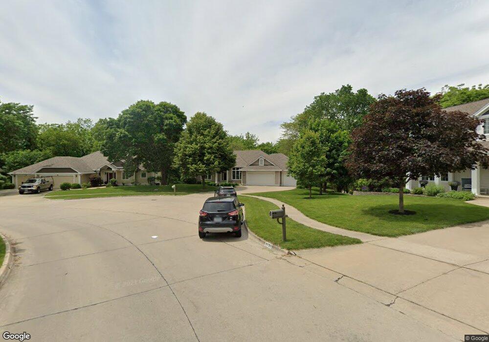
9137 Iltis Dr Urbandale, IA 50322
Estimated Value: $472,000 - $561,855
1
Bed
3
Baths
2,091
Sq Ft
$250/Sq Ft
Est. Value
About This Home
This home is located at 9137 Iltis Dr, Urbandale, IA 50322 and is currently estimated at $523,214, approximately $250 per square foot. 9137 Iltis Dr is a home located in Polk County with nearby schools including Urbandale Middle School, Urbandale High School, and St Pius X School.
Ownership History
Date
Name
Owned For
Owner Type
Purchase Details
Closed on
Mar 1, 2007
Sold by
Wiederin Cynthia S and Wiederin Mark J
Bought by
Pugh James A and Pugh Janet L
Current Estimated Value
Home Financials for this Owner
Home Financials are based on the most recent Mortgage that was taken out on this home.
Original Mortgage
$200,000
Interest Rate
6.02%
Mortgage Type
Purchase Money Mortgage
Create a Home Valuation Report for This Property
The Home Valuation Report is an in-depth analysis detailing your home's value as well as a comparison with similar homes in the area
Home Values in the Area
Average Home Value in this Area
Purchase History
| Date | Buyer | Sale Price | Title Company |
|---|---|---|---|
| Pugh James A | $385,500 | Itc |
Source: Public Records
Mortgage History
| Date | Status | Borrower | Loan Amount |
|---|---|---|---|
| Closed | Pugh James A | $200,000 |
Source: Public Records
Tax History Compared to Growth
Tax History
| Year | Tax Paid | Tax Assessment Tax Assessment Total Assessment is a certain percentage of the fair market value that is determined by local assessors to be the total taxable value of land and additions on the property. | Land | Improvement |
|---|---|---|---|---|
| 2025 | $9,612 | $622,800 | $119,100 | $503,700 |
| 2024 | $9,612 | $548,200 | $103,800 | $444,400 |
| 2023 | $9,806 | $548,200 | $103,800 | $444,400 |
| 2022 | $9,692 | $465,900 | $91,900 | $374,000 |
| 2021 | $9,570 | $465,900 | $91,900 | $374,000 |
| 2020 | $9,404 | $436,900 | $85,900 | $351,000 |
| 2019 | $8,912 | $436,900 | $85,900 | $351,000 |
| 2018 | $8,584 | $396,100 | $76,300 | $319,800 |
| 2017 | $7,962 | $396,100 | $76,300 | $319,800 |
| 2016 | $7,762 | $361,700 | $69,000 | $292,700 |
| 2015 | $7,762 | $361,700 | $69,000 | $292,700 |
| 2014 | $7,414 | $356,600 | $66,100 | $290,500 |
Source: Public Records
Map
Nearby Homes
- 4529 91st St
- 9107 Tanglewood Dr
- 4460 90th St
- 4473 89th St
- 4748 Hillsdale Dr
- 4726 Hillsdale Dr
- Lot 24 Hickory Dr
- 4221 90th St
- 4480 87th St Unit 10
- 4708 89th St
- Danbury Plan at Oakwood Haven
- Carson Plan at Oakwood Haven
- Gilmore Plan at Oakwood Haven
- Emerson Plan at Oakwood Haven
- Brighton Plan at Oakwood Haven
- Cambridge Plan at Oakwood Haven
- Aurora Plan at Oakwood Haven
- Fairfield Plan at Oakwood Haven
- 8626 Alpine Dr Unit D
- 8641 Alpine Dr Unit E
- 4438 92nd St
- 9131 Iltis Dr
- 4432 92nd St
- 4435 92nd St
- 9212 Greenbelt Dr
- 9127 Iltis Dr
- 9218 Greenbelt Dr
- 9206 Greenbelt Dr
- 4428 92nd St
- 9126 Iltis Dr
- 9224 Greenbelt Dr
- 9139 Alpine Dr
- 9200 Greenbelt Dr
- 9120 Iltis Dr
- 9133 Alpine Dr
- 4424 92nd St
- 9117 Iltis Dr
- 9300 Greenbelt Dr
- 4503 93rd St
- 9129 Alpine Dr