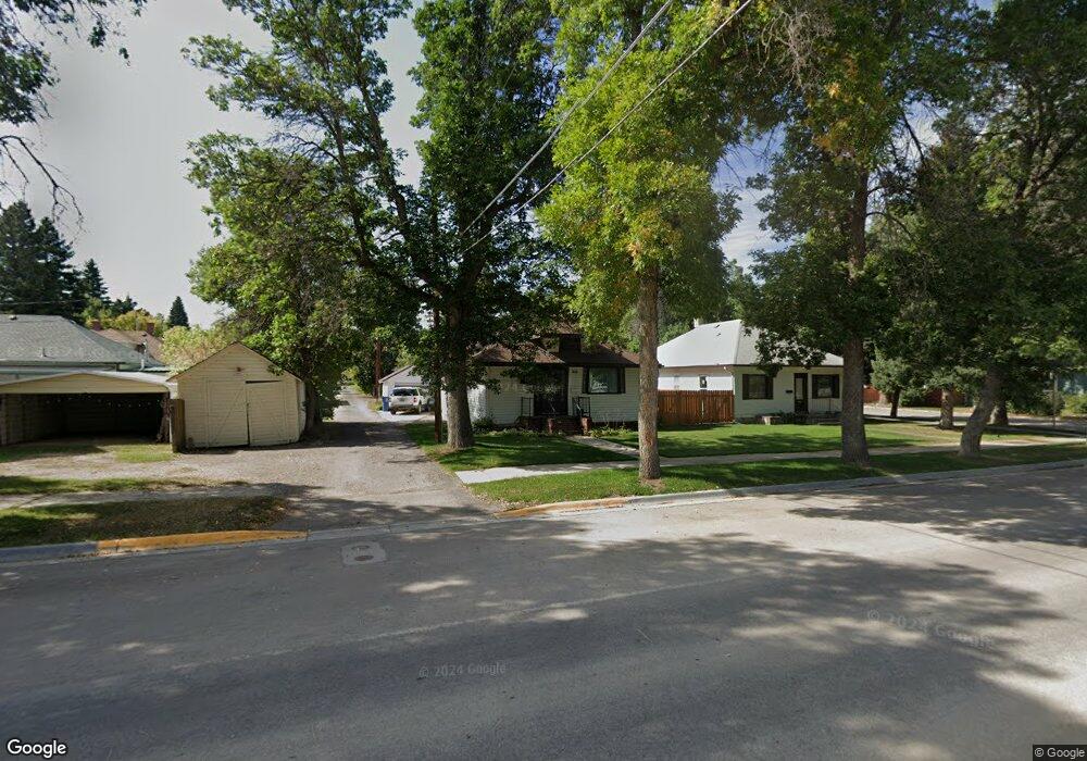
914 7th Ave N Lewistown, MT 59457
Estimated Value: $221,000 - $314,000
2
Beds
2
Baths
1,190
Sq Ft
$229/Sq Ft
Est. Value
About This Home
This home is located at 914 7th Ave N, Lewistown, MT 59457 and is currently estimated at $272,133, approximately $228 per square foot. 914 7th Ave N is a home located in Fergus County with nearby schools including Fergus High School.
Ownership History
Date
Name
Owned For
Owner Type
Purchase Details
Closed on
Feb 24, 2022
Sold by
Woods Krista S
Bought by
Vasquez Jose
Current Estimated Value
Purchase Details
Closed on
Jul 12, 2021
Sold by
Unknown
Bought by
Woods Krista S
Home Financials for this Owner
Home Financials are based on the most recent Mortgage that was taken out on this home.
Original Mortgage
$108,500
Interest Rate
2.93%
Mortgage Type
New Conventional
Purchase Details
Closed on
Feb 16, 2018
Sold by
Myers Bernice M and Myers Leo D
Bought by
Nowak Krista
Home Financials for this Owner
Home Financials are based on the most recent Mortgage that was taken out on this home.
Original Mortgage
$80,514
Interest Rate
4.25%
Mortgage Type
FHA
Create a Home Valuation Report for This Property
The Home Valuation Report is an in-depth analysis detailing your home's value as well as a comparison with similar homes in the area
Home Values in the Area
Average Home Value in this Area
Purchase History
| Date | Buyer | Sale Price | Title Company |
|---|---|---|---|
| Vasquez Jose | -- | New Title Company Name | |
| Woods Krista S | -- | New Title Company Name | |
| Nowak Krista | $100,642 | First American Title |
Source: Public Records
Mortgage History
| Date | Status | Borrower | Loan Amount |
|---|---|---|---|
| Previous Owner | Woods Krista S | $108,500 | |
| Previous Owner | Nowak Krista | $80,514 |
Source: Public Records
Tax History Compared to Growth
Tax History
| Year | Tax Paid | Tax Assessment Tax Assessment Total Assessment is a certain percentage of the fair market value that is determined by local assessors to be the total taxable value of land and additions on the property. | Land | Improvement |
|---|---|---|---|---|
| 2025 | $2,043 | $282,900 | $0 | $0 |
| 2024 | $2,011 | $175,000 | $0 | $0 |
| 2023 | $2,019 | $175,000 | $0 | $0 |
| 2022 | $1,453 | $98,100 | $0 | $0 |
| 2021 | $1,133 | $98,100 | $0 | $0 |
| 2020 | $1,207 | $87,485 | $0 | $0 |
| 2019 | $1,199 | $87,485 | $0 | $0 |
| 2018 | $1,137 | $81,685 | $0 | $0 |
| 2017 | $894 | $79,285 | $0 | $0 |
| 2016 | $1,058 | $77,200 | $0 | $0 |
| 2015 | $858 | $77,200 | $0 | $0 |
| 2014 | $802 | $40,439 | $0 | $0 |
Source: Public Records
Map
Nearby Homes
- 412 W Huron St
- 105 Hillcrest Dr
- 313 W Idaho St
- TBD Truck Bypass
- 35 acres Truck Bypass
- NHN Truck Bypass
- 316 W Corcoran St
- 318 W Evelyn St
- NHN A St
- 624 W Broadway St
- 514 2nd Ave N
- 115 7th Ave N
- 1011 W Broadway St
- 1014 Mountain View Dr
- 628 Mountain View Dr
- 1220 W Main St
- 414 Warr St
- 632 Mountain View Dr
- 401 7th Ave S
- 501 Wright St