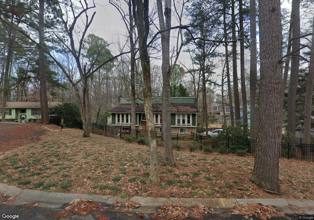
914 Carnoustie Cir Cary, NC 27511
South Cary NeighborhoodEstimated Value: $485,000 - $584,000
4
Beds
3
Baths
2,585
Sq Ft
$207/Sq Ft
Est. Value
About This Home
This home is located at 914 Carnoustie Cir, Cary, NC 27511 and is currently estimated at $534,146, approximately $206 per square foot. 914 Carnoustie Cir is a home located in Wake County with nearby schools including Briarcliff Elementary School, East Cary Middle School, and Cary High School.
Ownership History
Date
Name
Owned For
Owner Type
Purchase Details
Closed on
Jan 4, 1999
Sold by
Talbot Vickie E and Talbot John D
Bought by
Hague Daniel W and Hague Jennifer G
Current Estimated Value
Home Financials for this Owner
Home Financials are based on the most recent Mortgage that was taken out on this home.
Original Mortgage
$156,750
Interest Rate
7.68%
Create a Home Valuation Report for This Property
The Home Valuation Report is an in-depth analysis detailing your home's value as well as a comparison with similar homes in the area
Home Values in the Area
Average Home Value in this Area
Purchase History
| Date | Buyer | Sale Price | Title Company |
|---|---|---|---|
| Hague Daniel W | $165,000 | -- |
Source: Public Records
Mortgage History
| Date | Status | Borrower | Loan Amount |
|---|---|---|---|
| Previous Owner | Hague Daniel W | $156,750 |
Source: Public Records
Tax History Compared to Growth
Tax History
| Year | Tax Paid | Tax Assessment Tax Assessment Total Assessment is a certain percentage of the fair market value that is determined by local assessors to be the total taxable value of land and additions on the property. | Land | Improvement |
|---|---|---|---|---|
| 2025 | $3,703 | $429,727 | $210,000 | $219,727 |
| 2024 | $3,623 | $429,727 | $210,000 | $219,727 |
| 2023 | $2,987 | $296,070 | $135,000 | $161,070 |
| 2022 | $2,876 | $296,070 | $135,000 | $161,070 |
| 2021 | $2,818 | $296,070 | $135,000 | $161,070 |
| 2020 | $2,833 | $296,070 | $135,000 | $161,070 |
| 2019 | $2,686 | $248,972 | $108,000 | $140,972 |
| 2018 | $2,521 | $248,972 | $108,000 | $140,972 |
| 2017 | $2,423 | $248,972 | $108,000 | $140,972 |
| 2016 | $2,386 | $248,972 | $108,000 | $140,972 |
| 2015 | $1,948 | $195,793 | $60,800 | $134,993 |
| 2014 | $1,837 | $195,793 | $60,800 | $134,993 |
Source: Public Records
Map
Nearby Homes
- 308 Trimble Ave
- 910 Balmoral Dr
- 141 Riverwalk Cir
- 802 Prince St
- 109 Grey Fox Ct
- 1201 Gatehouse Dr
- 105 Brush Stream Dr
- 113 Spring Cove Dr
- 203 Tapestry Terrace
- 104 Pickett Ln
- 1215 Brookgreen Dr
- 112 Solstice Cir
- 105 Solstice Cir
- 1232 Dunnet Ct
- 109 Virginia Place
- 133 Oakmere Dr
- 105 Tracy Ct
- 151 Lake Pine Dr Unit 1713B
- 300 Mainsail Dr
- 119 Joanne Cir
- 912 Brookgreen Dr
- 916 Carnoustie Cir
- 910 Brookgreen Dr
- 924 Carnoustie Cir
- 926 Brookgreen Dr
- 908 Brookgreen Dr
- 918 Carnoustie Cir
- 922 Carnoustie Cir
- 920 Carnoustie Cir
- 921 Brookgreen Dr
- 906 Brookgreen Dr
- 915 Brookgreen Dr
- 219 Trimble Ave
- 913 Brookgreen Dr
- 227 Trimble Ave
- 928 Logan Cir
- 221 Trimble Ave
- 925 Brookgreen Dr
- 225 Trimble Ave
- 911 Brookgreen Dr