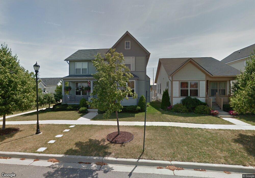
914 Mcdougal St Monroe, MI 48162
Northeast Monroe NeighborhoodEstimated Value: $263,000 - $318,000
3
Beds
2
Baths
1,920
Sq Ft
$151/Sq Ft
Est. Value
About This Home
This home is located at 914 Mcdougal St, Monroe, MI 48162 and is currently estimated at $288,962, approximately $150 per square foot. 914 Mcdougal St is a home located in Monroe County with nearby schools including Monroe High School, St Mary's Catholic Elementary School, and Trinity Lutheran School.
Ownership History
Date
Name
Owned For
Owner Type
Purchase Details
Closed on
Oct 10, 2023
Sold by
William G Mercer Living Trust
Bought by
Oloughlin Thomas Joseph and Oloughlin Edward Kyle
Current Estimated Value
Create a Home Valuation Report for This Property
The Home Valuation Report is an in-depth analysis detailing your home's value as well as a comparison with similar homes in the area
Home Values in the Area
Average Home Value in this Area
Purchase History
| Date | Buyer | Sale Price | Title Company |
|---|---|---|---|
| Oloughlin Thomas Joseph | -- | None Listed On Document |
Source: Public Records
Tax History
| Year | Tax Paid | Tax Assessment Tax Assessment Total Assessment is a certain percentage of the fair market value that is determined by local assessors to be the total taxable value of land and additions on the property. | Land | Improvement |
|---|---|---|---|---|
| 2025 | $2,616 | $136,200 | $136,200 | $0 |
| 2024 | $2,497 | $123,540 | $0 | $0 |
| 2023 | $3,232 | $106,350 | $0 | $0 |
| 2022 | $3,232 | $106,350 | $0 | $0 |
| 2021 | $3,125 | $98,310 | $0 | $0 |
| 2020 | $2,916 | $90,680 | $0 | $0 |
| 2019 | $2,768 | $90,680 | $0 | $0 |
| 2018 | $2,693 | $86,900 | $0 | $0 |
| 2017 | $2,640 | $86,900 | $0 | $0 |
| 2016 | $2,385 | $81,910 | $0 | $0 |
| 2015 | $2,287 | $70,420 | $0 | $0 |
| 2014 | $2,287 | $70,420 | $0 | $0 |
| 2013 | -- | $61,770 | $0 | $0 |
Source: Public Records
Map
Nearby Homes
- 422 Lapoint Ave
- 942 Elliot St
- 229 Michigan Ave
- 118 Michigan Ave
- 116 Maple Blvd
- 465 Riverview Ave
- 603 Scottwood Ave
- 310 E Noble Ave
- E E Lorain St
- 425 Fern Ct
- 0 N Dixie Hwy Unit 50199380
- 0 N Dixie Hwy Unit 900
- 230 E Grove St
- 504 Rosewood Ave
- 926 E Front St
- 1008 Maple Ave
- 623 Maywood Ave
- 525 N Macomb St
- 434 Arbor Ave
- 416 Humphrey St
- 910 Mcdougal St
- 413 Lapointe Ave
- 438 Lapointe Ave
- 906 Mcdougal St
- 426 Lapoint Ave
- 430 Lapoint Ave
- 413 Lapoint Ave
- 902 Mcdougal St
- 418 Lapointe Ave
- 414 Baptiste Ave
- 418 Lapoint Ave
- 409 Lapoint Ave
- 414 Lapointe Ave
- 409 Lapointe Ave
- 405 Lapointe Ave
- 405 Lapoint Ave
- 414 Lapoint Ave
- 0 E Elliot Unit 5614861
- 0 E Elliot Unit 4747888
- 0 E Elliot Unit R2210075134
Your Personal Tour Guide
Ask me questions while you tour the home.