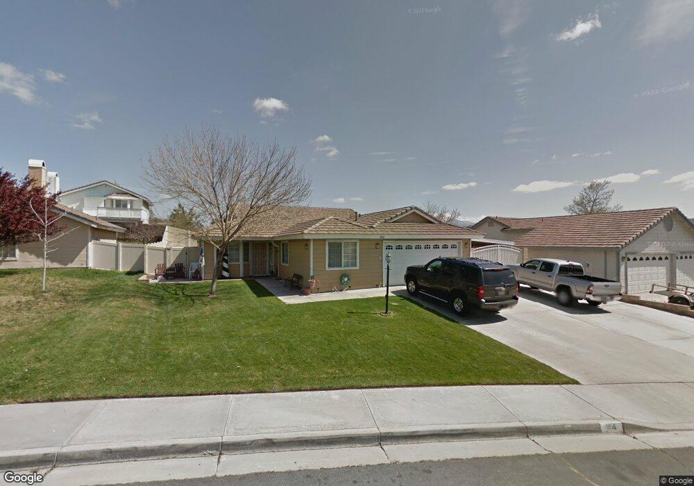
914 Oregon Trail Banning, CA 92220
Estimated Value: $451,800 - $511,000
3
Beds
2
Baths
1,748
Sq Ft
$273/Sq Ft
Est. Value
About This Home
This home is located at 914 Oregon Trail, Banning, CA 92220 and is currently estimated at $477,200, approximately $272 per square foot. 914 Oregon Trail is a home located in Riverside County with nearby schools including Banning High School, Calvary Christian School, and Pass Christian School.
Ownership History
Date
Name
Owned For
Owner Type
Purchase Details
Closed on
Sep 21, 2018
Sold by
Taylor Joney Earl and Taylor Joney E
Bought by
Taylor Joney Earl and Taylor Brenda Joyce
Current Estimated Value
Purchase Details
Closed on
Jun 26, 1996
Sold by
Taylor Joney E and Taylor Brenda B
Bought by
Taylor Joney E
Home Financials for this Owner
Home Financials are based on the most recent Mortgage that was taken out on this home.
Original Mortgage
$24,000
Interest Rate
8.01%
Mortgage Type
Purchase Money Mortgage
Create a Home Valuation Report for This Property
The Home Valuation Report is an in-depth analysis detailing your home's value as well as a comparison with similar homes in the area
Home Values in the Area
Average Home Value in this Area
Purchase History
| Date | Buyer | Sale Price | Title Company |
|---|---|---|---|
| Taylor Joney Earl | -- | None Available | |
| Taylor Joney E | -- | -- |
Source: Public Records
Mortgage History
| Date | Status | Borrower | Loan Amount |
|---|---|---|---|
| Closed | Taylor Joney E | $24,000 |
Source: Public Records
Tax History Compared to Growth
Tax History
| Year | Tax Paid | Tax Assessment Tax Assessment Total Assessment is a certain percentage of the fair market value that is determined by local assessors to be the total taxable value of land and additions on the property. | Land | Improvement |
|---|---|---|---|---|
| 2025 | $3,417 | $248,214 | $45,068 | $203,146 |
| 2023 | $3,417 | $238,577 | $43,319 | $195,258 |
| 2022 | $3,342 | $233,900 | $42,470 | $191,430 |
| 2021 | $3,279 | $229,315 | $41,638 | $187,677 |
| 2020 | $3,250 | $226,965 | $41,212 | $185,753 |
| 2019 | $3,199 | $222,515 | $40,404 | $182,111 |
| 2018 | $3,177 | $218,153 | $39,612 | $178,541 |
| 2017 | $3,126 | $213,877 | $38,836 | $175,041 |
| 2016 | $2,976 | $209,684 | $38,075 | $171,609 |
| 2015 | $2,934 | $206,536 | $37,504 | $169,032 |
| 2014 | $2,914 | $202,492 | $36,770 | $165,722 |
Source: Public Records
Map
Nearby Homes
- 911 Sugar Pine Cir
- 4133 W Wilson St Unit 168
- 4133 W Wilson St Unit 169
- 721 N Sunset Avenue Sp Unit 68
- 721 N Sunset Ave Unit 90
- 721 N Sunset Ave Unit 64
- 3800 W Wilson St Unit 18
- 3800 W Wilson St Unit 228
- 3800 W Wilson St Unit 26
- 3800 W Wilson St Unit 394
- 3800 W Wilson St Unit 369
- 3800 W Wilson St Unit 28
- 3800 W Wilson St Unit 132
- 3800 W Wilson St Unit 347
- 3800 W Wilson St Unit 129
- 3800 W Wilson St
- 3880 W Jacinto View Rd Unit D
- 3880 W Jacinto View Rd Unit M
- 3800 W Jacinto View Rd
- 3066 W George St
- 936 Oregon Trail
- 892 Oregon Trail
- 911 Holly Ct
- 889 Holly Ct
- 929 Holly Ct
- 958 Oregon Trail
- 3711 White Oak Dr
- 937 Oregon Trail
- 943 Holly Ct
- 957 Oregon Trail
- 980 Oregon Trail
- 3634 White Oak Dr
- 3612 White Oak Dr
- 3721 White Oak Dr
- 3656 White Oak Dr
- 979 Oregon Trail
- 890 Holly Ct
- 936 Eucalyptus Dr
- 945 Holly Ct
- 912 Holly Ct