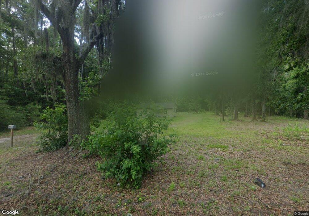
914 Sams Point Rd Beaufort, SC 29907
Estimated Value: $188,182 - $303,000
2
Beds
1
Bath
768
Sq Ft
$320/Sq Ft
Est. Value
About This Home
This home is located at 914 Sams Point Rd, Beaufort, SC 29907 and is currently estimated at $245,394, approximately $319 per square foot. 914 Sams Point Rd is a home located in Beaufort County with nearby schools including Lady's Island Elementary School, Lady's Island Middle School, and Beaufort High School.
Ownership History
Date
Name
Owned For
Owner Type
Purchase Details
Closed on
Sep 29, 2009
Sold by
Williams Frank
Bought by
Coleman Olana Sheriece and Coleman Shawn Lamont
Current Estimated Value
Create a Home Valuation Report for This Property
The Home Valuation Report is an in-depth analysis detailing your home's value as well as a comparison with similar homes in the area
Home Values in the Area
Average Home Value in this Area
Purchase History
| Date | Buyer | Sale Price | Title Company |
|---|---|---|---|
| Coleman Olana Sheriece | -- | -- |
Source: Public Records
Tax History Compared to Growth
Tax History
| Year | Tax Paid | Tax Assessment Tax Assessment Total Assessment is a certain percentage of the fair market value that is determined by local assessors to be the total taxable value of land and additions on the property. | Land | Improvement |
|---|---|---|---|---|
| 2024 | $1,114 | $4,280 | $0 | $0 |
| 2023 | $1,114 | $4,280 | $0 | $0 |
| 2022 | $1,085 | $3,720 | $0 | $0 |
| 2021 | $1,053 | $3,720 | $0 | $0 |
| 2020 | $1,019 | $3,720 | $0 | $0 |
| 2019 | $1,006 | $3,720 | $0 | $0 |
| 2018 | $949 | $3,720 | $0 | $0 |
| 2017 | $1,237 | $4,730 | $0 | $0 |
| 2016 | $1,211 | $4,730 | $0 | $0 |
| 2014 | $1,222 | $4,730 | $0 | $0 |
Source: Public Records
Map
Nearby Homes
- 40 Briarpatch Ln
- 10 Big Ash Ln
- 20 Millers Pond Dr
- 4 Flyway Dr
- 106 Coosaw Club Dr
- 965 Sams Point Rd Unit B
- 965 Sams Point Rd Unit A
- 965 Sams Point Rd Unit C
- 110 Coosaw Club Dr
- 9 Hendersons Way
- 1 Park Row
- 37 Park Square S
- 6 Tuxedo Dr
- 140 Coosaw Club Dr
- 208 Coosaw Point Blvd
- 53 Park Way
- 4 Waterbird Dr
- 7 Waterbird Dr
- 27 Western Way
- 218 Coosaw Point Blvd
- 920 Sams Point Rd
- 915 Sams Point Rd
- 16 Briarpatch Ln
- 14 Alston Rd
- 17 Alston Rd
- 927 Sams Point Rd
- 21 Alston Rd
- 899 Sams Point Rd
- 931 Sams Point Rd
- 23 Alston Rd
- 25 Alston Rd
- 938 Sams Point Rd
- 14 Eliza Ln
- 933 Sams Point Rd
- 888 Sams Point Rd
- 31 Alston Rd
- 11 Eliza Ln
- 6 Laurel Hill Ln
- 5 Token Ln
- 14 Mickey D Ln