Estimated Value: $192,866
--
Bed
--
Bath
4,800
Sq Ft
$40/Sq Ft
Est. Value
About This Home
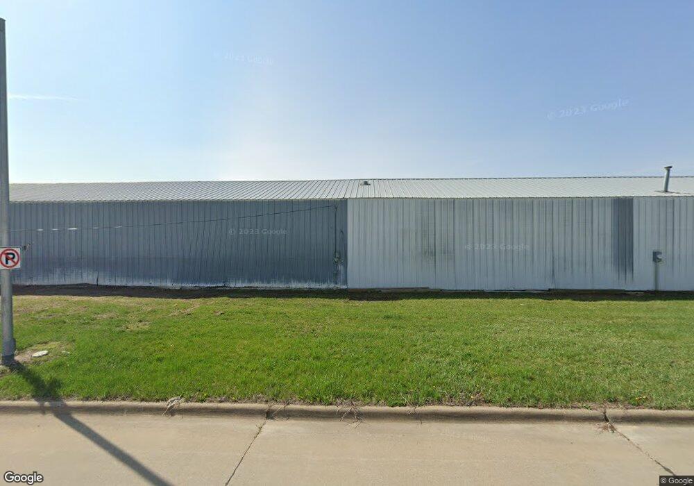
This home is located at 914 W 9th St, Pella, IA 50219 and is currently estimated at $192,866, approximately $40 per square foot. 914 W 9th St is a home located in Marion County with nearby schools including Pella High School, Pella Christian Grade School, and Peoria Christian School.
Ownership History
Date
Name
Owned For
Owner Type
Purchase Details
Closed on
Apr 26, 2011
Sold by
The Charles L Vander Ploeg Trust
Bought by
Jkml Llc
Current Estimated Value
Home Financials for this Owner
Home Financials are based on the most recent Mortgage that was taken out on this home.
Original Mortgage
$66,400
Outstanding Balance
$25,398
Interest Rate
4.88%
Mortgage Type
Purchase Money Mortgage
Estimated Equity
$167,468
Purchase Details
Closed on
Jul 7, 2005
Sold by
Vander Ploeg Charles L and Vander Ploeg Bernice
Bought by
Vander Ploeg Charles L and Charles L Vander Ploeg Trust
Create a Home Valuation Report for This Property
The Home Valuation Report is an in-depth analysis detailing your home's value as well as a comparison with similar homes in the area
Home Values in the Area
Average Home Value in this Area
Purchase History
| Date | Buyer | Sale Price | Title Company |
|---|---|---|---|
| Jkml Llc | -- | None Available | |
| Vander Ploeg Charles L | -- | None Available |
Source: Public Records
Mortgage History
| Date | Status | Borrower | Loan Amount |
|---|---|---|---|
| Open | Jkml Llc | $66,400 |
Source: Public Records
Tax History Compared to Growth
Tax History
| Year | Tax Paid | Tax Assessment Tax Assessment Total Assessment is a certain percentage of the fair market value that is determined by local assessors to be the total taxable value of land and additions on the property. | Land | Improvement |
|---|---|---|---|---|
| 2025 | $2,046 | $151,400 | $70,310 | $81,090 |
| 2024 | $2,046 | $132,420 | $72,630 | $59,790 |
| 2023 | $1,966 | $132,420 | $72,630 | $59,790 |
| 2022 | $2,202 | $128,040 | $72,630 | $55,410 |
| 2021 | $2,202 | $128,040 | $72,630 | $55,410 |
| 2020 | $2,342 | $131,010 | $72,630 | $58,380 |
Source: Public Records
Map
Nearby Homes
- TBD Washington St
- 1826 Washington St
- 1112 Liberty St
- 1009 Lincoln St
- 1311 W 2nd St
- 1312 W 2nd St
- 1318 Boone St
- 708 & 710 Independence St
- 415 Main St Unit 2B
- 716 Elm St
- 514 Liberty St
- 550 Harvest Rd
- 1714 Neil Dr
- 2995 Goldenrod Ct
- 2906 Goldenrod Ct
- 2900 Goldenrod Ct
- 2991 Goldenrod Ct
- 921 Brentwood Dr
- 1102 Sunflower Ln
- 1110 Sunflower Ln
- 1702 Sycamore St
- 906 W 9th St
- 913 W 8th St
- 905 W 8th St
- 915 W 9th St
- 915 W 8th St
- 907 W 9th St
- 905 W 9th St
- 903 W 8th St
- 0 Dutchmans Landing Unit 29017316
- 0 Dutchmans Landing Unit 29018151
- 0 Parcel #2221901000 Unit 29018421
- 0 Lots 8 & 9 Bos Landen Phase 5 Unit 29018528
- 0 Lots 10 & 11 Bos Landen Unit 29018527
- 0 Lot 29 Shady Brook Acres Unit 29018880
- 0 Lot 30 Shady Brook Acres Unit 29018879
- 0 Lot 28 Shady Brook Acres Unit 29018878
- 0 Lot 27 Shady Brook Acres Unit 29018877
- 0 Lot 25 Shady Brook Acres Unit 29018874
- 0 Lot 24 Shady Brook Acres Unit 29018873