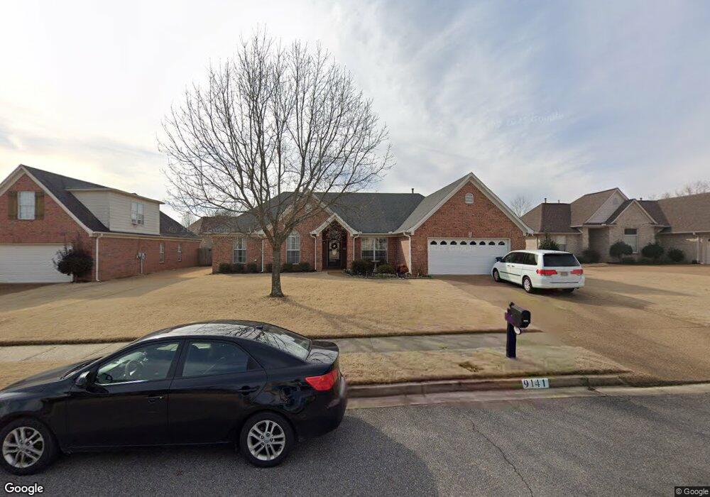
9141 William Paul Dr Olive Branch, MS 38654
Estimated Value: $307,045 - $335,000
4
Beds
2
Baths
2,402
Sq Ft
$132/Sq Ft
Est. Value
About This Home
This home is located at 9141 William Paul Dr, Olive Branch, MS 38654 and is currently estimated at $318,011, approximately $132 per square foot. 9141 William Paul Dr is a home located in DeSoto County with nearby schools including Overpark Elementary School, Center Hill High School, and Desoto Christian Academy.
Ownership History
Date
Name
Owned For
Owner Type
Purchase Details
Closed on
Apr 18, 2011
Sold by
Logan Terry E and Logan Kathryn C
Bought by
Sandridge Stephen A and Sandridge Tiffany A
Current Estimated Value
Home Financials for this Owner
Home Financials are based on the most recent Mortgage that was taken out on this home.
Original Mortgage
$160,287
Outstanding Balance
$110,842
Interest Rate
4.85%
Mortgage Type
FHA
Estimated Equity
$207,169
Create a Home Valuation Report for This Property
The Home Valuation Report is an in-depth analysis detailing your home's value as well as a comparison with similar homes in the area
Home Values in the Area
Average Home Value in this Area
Purchase History
| Date | Buyer | Sale Price | Title Company |
|---|---|---|---|
| Sandridge Stephen A | -- | Multiple |
Source: Public Records
Mortgage History
| Date | Status | Borrower | Loan Amount |
|---|---|---|---|
| Open | Sandridge Stephen A | $160,287 |
Source: Public Records
Tax History Compared to Growth
Tax History
| Year | Tax Paid | Tax Assessment Tax Assessment Total Assessment is a certain percentage of the fair market value that is determined by local assessors to be the total taxable value of land and additions on the property. | Land | Improvement |
|---|---|---|---|---|
| 2024 | $1,721 | $14,809 | $3,000 | $11,809 |
| 2023 | $1,721 | $14,809 | $0 | $0 |
| 2022 | $1,721 | $14,809 | $3,000 | $11,809 |
| 2021 | $1,721 | $14,809 | $3,000 | $11,809 |
| 2020 | $1,592 | $13,864 | $3,000 | $10,864 |
| 2019 | $1,592 | $13,864 | $3,000 | $10,864 |
| 2017 | $1,552 | $24,004 | $13,502 | $10,502 |
| 2016 | $1,552 | $13,502 | $3,000 | $10,502 |
| 2015 | $1,852 | $24,004 | $13,502 | $10,502 |
| 2014 | $1,633 | $14,086 | $0 | $0 |
| 2013 | $924 | $14,086 | $0 | $0 |
Source: Public Records
Map
Nearby Homes
- 9178 William Paul Dr
- 9097 Gavin Dr
- 8992 Gavin Dr
- 9899 Wynngate Dr
- 9857 Tremont Dr
- 9387 Joe Lyon Blvd
- 8939 Travis Dr
- 9444 Geneva Loop E
- 8300 Waverly Cove
- 8382 Regal Bend Dr
- 8971 Tahoe Cove
- 5583 Liberty Ridge Cove
- 6400 State Line Rd
- 5563 Annandale Dr
- 7206 State Line Rd
- 5456 Stone Arch Place
- 9164 Superior Cove
- 9195 Lakeside Dr
- 9158 Lakeside Dr
- 8247 Montrose Dr
- 9129 William Paul Dr
- 9153 William Paul Dr
- 9140 Krista Cove
- 9115 William Paul Dr
- 9165 William Paul Dr
- 9142 William Paul Dr
- 9154 William Paul Dr
- 9137 Krista Cove
- 9130 William Paul Dr
- 9103 William Paul Dr
- 9177 William Paul Dr
- 9134 Krista Cove
- 9166 William Paul Dr
- 9118 William Paul Dr
- 9166 Gavin Dr
- 9154 Gavin Dr
- 9178 Gavin Dr
- 9178 Gavin Dr
- 9189 William Paul Dr
- 9131 Krista Cove