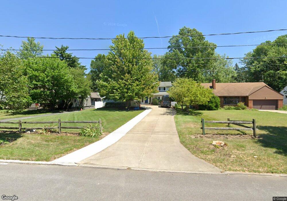
915 Stuart Dr Cleveland, OH 44121
Estimated Value: $313,000 - $331,227
3
Beds
3
Baths
2,336
Sq Ft
$137/Sq Ft
Est. Value
About This Home
This home is located at 915 Stuart Dr, Cleveland, OH 44121 and is currently estimated at $321,057, approximately $137 per square foot. 915 Stuart Dr is a home located in Cuyahoga County with nearby schools including Adrian Elementary School, Greenview Upper Elementary School, and Memorial Junior High School.
Ownership History
Date
Name
Owned For
Owner Type
Purchase Details
Closed on
Dec 29, 2020
Sold by
Manders Jared P
Bought by
Manders Jared P and Manders Deborah C
Current Estimated Value
Purchase Details
Closed on
Jan 11, 2010
Sold by
Estate Of Eunice L Manders
Bought by
Manders Jared P
Purchase Details
Closed on
Apr 6, 2004
Sold by
Manders Myron R and Manders Eunice L
Bought by
Manders Myron R and Manders Eunice L
Purchase Details
Closed on
Apr 11, 2003
Sold by
Manders Jared P and Manders Deborah C
Bought by
Manders Myron R and Manders Eunice L
Create a Home Valuation Report for This Property
The Home Valuation Report is an in-depth analysis detailing your home's value as well as a comparison with similar homes in the area
Home Values in the Area
Average Home Value in this Area
Purchase History
| Date | Buyer | Sale Price | Title Company |
|---|---|---|---|
| Manders Jared P | -- | None Available | |
| Manders Jared P | -- | None Available | |
| Manders Myron R | -- | -- | |
| Manders Myron R | -- | -- |
Source: Public Records
Tax History Compared to Growth
Tax History
| Year | Tax Paid | Tax Assessment Tax Assessment Total Assessment is a certain percentage of the fair market value that is determined by local assessors to be the total taxable value of land and additions on the property. | Land | Improvement |
|---|---|---|---|---|
| 2024 | $7,726 | $104,090 | $14,245 | $89,845 |
| 2023 | $8,277 | $90,200 | $10,080 | $80,120 |
| 2022 | $8,408 | $90,195 | $10,080 | $80,115 |
| 2021 | $8,346 | $90,200 | $10,080 | $80,120 |
| 2020 | $8,235 | $77,740 | $8,680 | $69,060 |
| 2019 | $7,508 | $222,100 | $24,800 | $197,300 |
| 2018 | $7,152 | $77,740 | $8,680 | $69,060 |
| 2017 | $7,047 | $67,070 | $8,650 | $58,420 |
| 2016 | $7,002 | $67,070 | $8,650 | $58,420 |
| 2015 | $6,787 | $67,070 | $8,650 | $58,420 |
| 2014 | $6,787 | $67,070 | $8,650 | $58,420 |
Source: Public Records
Map
Nearby Homes
- 4532 Anderson Rd
- 4561 Wilburn Dr
- 4616 Mcfarland Rd
- 4591 Wilburn Dr
- 4742 Anderson Rd
- 4643 Monticello Blvd
- 4765 Monticello Blvd
- 4769 Edenwood Rd
- 963 Chelston Rd
- 981 Hanley Rd
- 4781 Dorshwood Rd
- 4258 Bluestone Rd
- 4859 Delevan Dr
- 4880 Anderson Rd
- 4669 Liberty Rd
- 4785 Donald Ave
- 4832 Monticello Blvd
- 4289 Swaffield Dr
- 4650 Liberty Rd
- 4493 Telhurst Rd
- 923 Stuart Dr
- 909 Stuart Dr
- 929 Stuart Dr
- 901 Stuart Dr
- 916 King George Blvd
- 939 Stuart Dr
- 910 King George Blvd
- 893 Stuart Dr
- 924 King George Blvd
- 902 King George Blvd
- 924 Stuart Dr
- 916 Stuart Dr
- 887 Stuart Dr
- 930 Stuart Dr
- 894 King George Blvd
- 943 Stuart Dr
- 4587 Anderson Rd
- 902 Stuart Dr
- 930 King George Blvd
- 879 Stuart Dr